Consolidation and restoration of historic and old heritage buildings – What does this process entail?
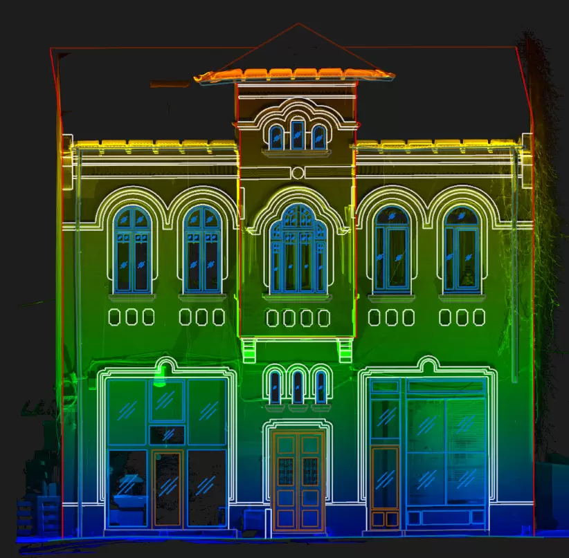
Consolidation and restoration of historic and old heritage buildings – What does this process entail? Historical monuments represent those real estate, constructions and lands located on the territory of Romania or outside its borders, properties of the Romanian State, significant for the history or culture and national or universal civilization. The classification in the regime […]
Parallels between classical and modern topographic measurement methods
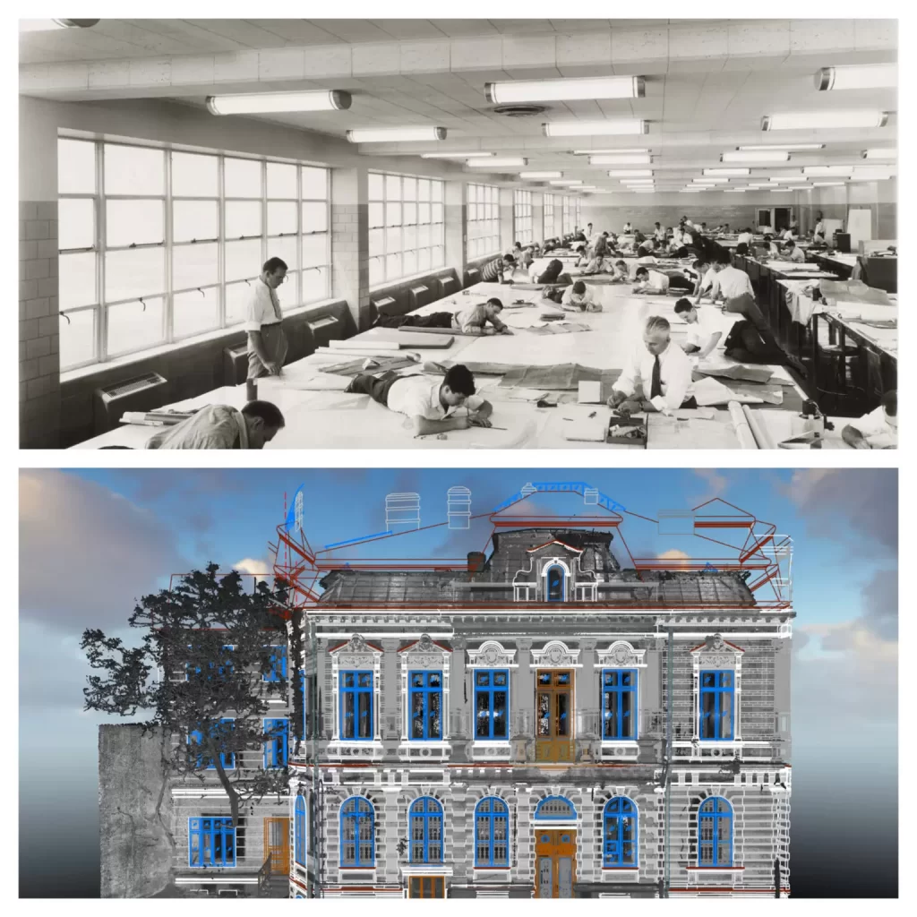
History of topographic measurements Dating back to the illustrations of battles fought by Mihai Viteazu against the Turks, the first informative maps of the Romanian Lands appeared in 1596 in Italy and Germany. The first maps illustrated by Romanians were those made by Stolnic Cantacuzino in 1700 for Greater Wallachia and the one of Moldova […]