
Topographic survey
Altimetric and planimetric topographic surveys. Real data from the field.
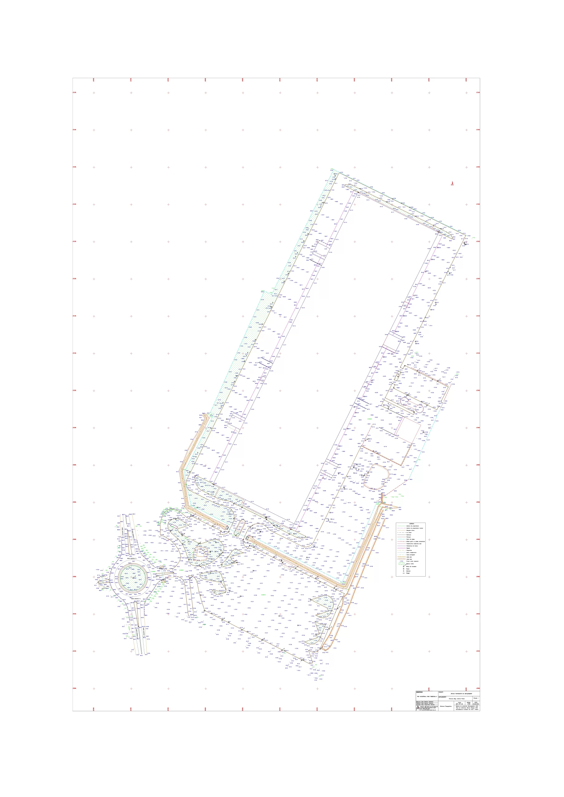
Any project has as a preliminary stage the execution of an altimetric and planimetric topographic survey. This ensures that the design is based on actual field data and that property boundaries are correctly represented. The site plans are designed in a local system of coordinates or in the national projection system Stereo 1970, reference plan Black Sea 1975.
Local authorities require such works to be approved by the territorial cadastre offices. Checking different works during execution is essential for cost analysis and for ensuring a correct path.
What does a topographic survey mean:
The technical documentation drawn up showing the real situation of the works in a field, necessary for the development of a topographical plan.
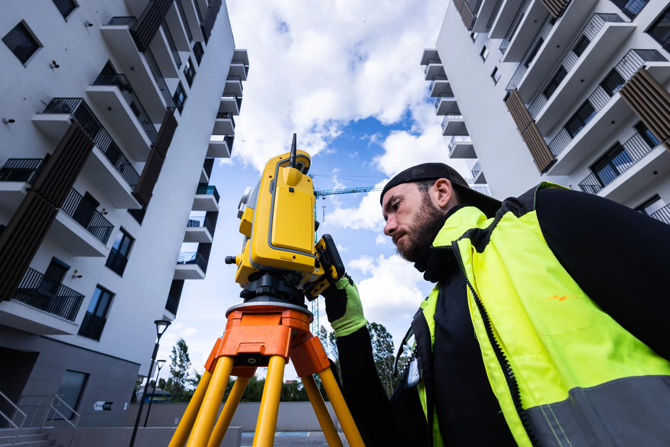
The site plans/topographic surveys represent a faithful image of the field that was measured. They are executed for: design or to obtain the opinions for the completion of PUG, PUZ, PUD and PAC plans. Depending on the topography and the size of the area to be studied in order to complete the site plans, we use: classic technology (total stations), satellite technology (GNSS receivers), photogrammetric technology (drone measurements) or 3D scanning.
Planimetric site plans: they are made at different scales depending on the density of the measured elements. They contain flat elements: roads, alleys, sidewalks, buildings, fences, property boundaries, vegetation and hydrography, as well as surface utility networks.
Planimetric and altimetric site plans: additionally contain altimetric elements, measuring points or level curves measured against a national reference plan (Black Sea 1975 – for Romania) or local system.
Site plans are delivered in physical and digital format: .dwg | .dxf files (AutoCad compatible) and .pdf files (Acrobat Reader compatible)
Technical documentation is required in the following circumstances:
- If you want to get a building or demolition permit.
- When you need a topographical support for the materialization of a detailed, regional or general urban development plan.
- When designing and/or executing utility networks.
- For the correct inventory of the built elements (parking lots, paved surfaces, lighting poles, manholes, others)
Checking the works during the execution is essential to analyze the costs and to ensure that your project is on the right track, in this case we execute as-built topographic surveys upon which we compare the elements designed and those implemented.
FAQ
What is the difference between topographic surveying and cadastre?
The topographic survey measures and represents the situation on the ground: buildings, boundaries, elevations, utilities. The cadastre legally registers the property in the ANCPI system. They are different but complementary works: for example, to tabulate a plot of land you first need the topographic survey.
How long does it take to complete a topographic survey?
Field measurements take from a few hours for a house lot to several days for large areas or complex sites. Data processing and preparation of the topographic plan usually takes an additional 3-7 business days.
Do I need a topographic survey for the building permit?
Yes, in most cases. The topographic plan is the document on which the architect designs, and the situation plan referred to by OCPI is part of the authorization file. Without an updated topographic survey, the designer works on incomplete or outdated data.
What information is needed for a quote?
The address or location of the property, the approximate area and the purpose of the work (building permit, design, cadastre, inventory). If you have existing cadastral documentation, send it to us, it helps us with the estimate. The initial evaluation is free.
How accurate is a topographic survey?
The accuracy depends on the method used and the purpose of the work. With a total station and GNSS receiver, the planimetric and altimetric accuracy is centimeter-level, sufficient for design, permits and cadastral documentation. For projects that require higher accuracy, we combine it with 3D laser scanning or photogrammetry.
Do I have to be present in the field during the measurements?
It is not mandatory. You only need to provide us with access to the land. If there are elements that require clarification (conventional boundaries with neighbors, planned constructions, areas of special interest), your presence or that of a representative is recommended for the first visit.
Topographic survey projects
- Survey engineering, Topographic survey, Setting out of designed elements, Bathymetric survey, Monitoring, Settlements monitoring
- Survey engineering, topographic assistance on site, layout works, measurements and earthwork volume calculations (cut and fill).
- Survey engineering for the designed elements, land registration and division into apartments, topographical survey.
- Topographic survey, 3D laser scanning, interior mapping according to BOMA standard, land registration, topographic elevation and planimetric survey, altimetric and planimetric survey.
- Residence topographic survey, 3D scanning, division into apartments, survey engineering
- Interior mapping according to BOMA standards, construction behavior tracking in time, topographic survey, topographic assistance on site
- Interior measurements 60,000 sqm and calculation of rentable areas according to BOMA standard
- Topography survey , execution support , construction behavior tracking in time, land registry .
- Topographic survey for design, topographic assistance on site, construction behavior tracking in time, land registry, updating, construction registration, individual units.
- Topography survey, execution support, construction behavior tracking in time, land registry.
- Topographic assistance on site - execution, Construction behavior tracking in time of the executed construction and the neighboring ones.
- Topographic surveying for design, Topographic assistance on site – execution, Monitoring
- Topographic survey for design, topographic assistance, survey documentation for construction registration, land subdivision
Send us a message
Contact a land surveying specialist
Alin Pisău
Technical Director