Photogrammetry
Photogrammetry is a branch of geodesy that uses images to obtain accurate data about objects and terrains by transforming 2D information from photographs into 3D (three-dimensional) information.
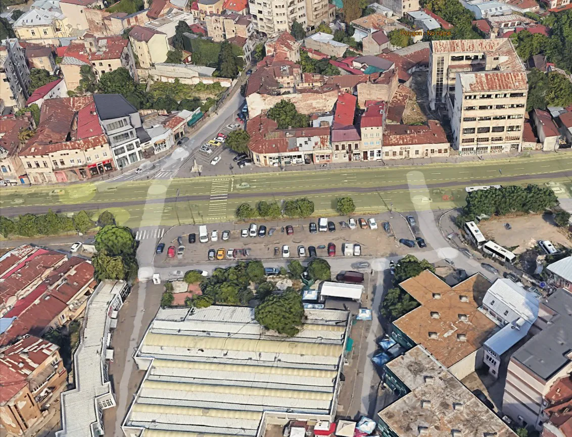
We use a mapping quadcopter drone (DJI Mavic 3E RTK) with the ability to fly up to 45 minutes in a single mission. This drone is equipped with a camera with 4/3” CMOS sensor and global shutter wide format and 1/2” CMOS (zoom 7X tele format). The camera allows video recording in 4K format (3840 x 1080p)@30fps and 20 megapixel photos (5280 x 3956 pixels).
The drone performs missions in a fully automatic mode, ensuring taking aerial photographs from predetermined heights, with both longitudinal and transverse coverage, according to the mission planning.
Images can be obtained with extremely detailed ground resolution, on the centimeter or even millimeter scale. Due to the integrated GNSS RTK receiver, the need to mark the control points at ground level is significantly reduced or, in certain circumstances, even completely eliminated.
What does the photogrammetry service include?
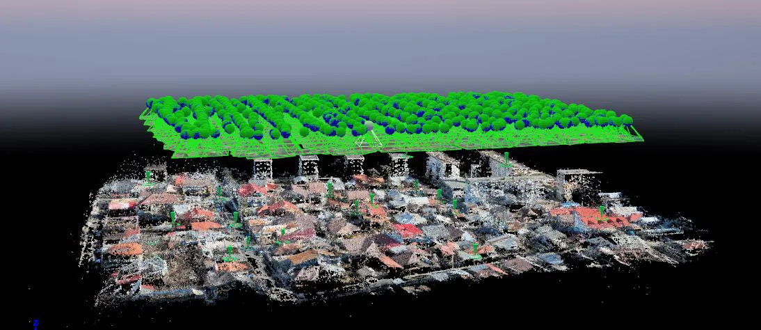
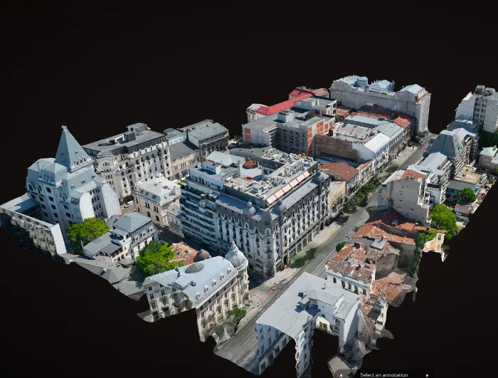
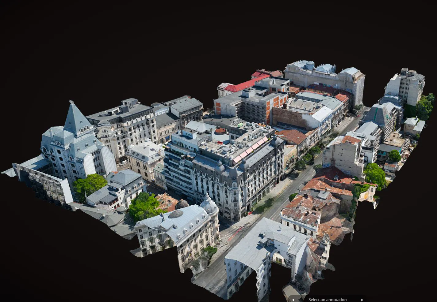
- The cloud of points generated by photogrammetry is the main result of the process and consists of three-dimensional points, being colored according to the aerial images used to capture the data.
- Orthophotoplane or photogrammetric mosaic
- 3D digital model of the surface - used for the calculation of filling and excavation volumes.
- 3D digital model of the terrain - the point cloud filtered by the elements that do not belong to the terrain is used: vegetation, buildings, power grid poles, structures and others. This model may be subsequently used for hydrotechnical studies, volume calculations, others.
- Site plan with the representation of the land slopes and the water drainage routes, highlighting the areas of water accumulation, respectively with water deficit
- Plans / thematic maps
- Photogrammetric processing
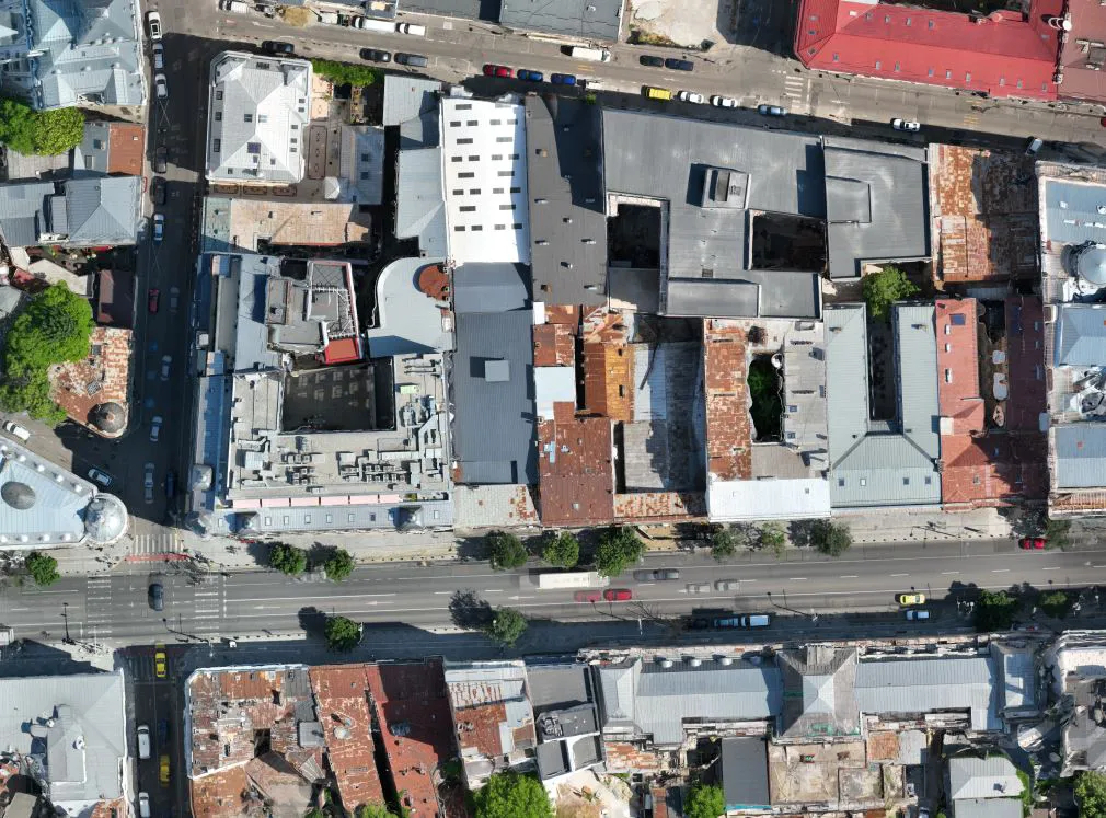
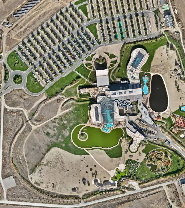
What is the orthophotoplane:
The orthophoto plane represents a mosaic of images taken by drone. This “composition” is not a simple distorted bonding, but a metric image, free from the distortions generated by the photogrammetric and relief camera, created in a well-established projection system (eg. the national projection system of Romania – Stereo ’70). Its resolution can be centimetric or even millimetric and the precision is calculated similarly to the point cloud example.
Proiecte verificări imbile
- Construction behavior tracking in time.
- Survey engineering, topographic surveys, pre-apartmenting and division into apartments.
- 3D laser scanning and 2D drawings, Scan- to-BIM
- Survey engineering, Topographic survey, Setting out of designed elements, Bathymetric survey, Monitoring, Settlements monitoring
- Division into apartments and cadastral documentation, survey engineering throughout the entire execution period, 3D monitoring, 3D scanning.
- Asistență topografică în șantier, UCC, rapoarte de monitorizare a deformatiilor 3D, măsurători As Built
- Survey engineering, topographic assistance on site, layout works, measurements and earthwork volume calculations (cut and fill).
- Photogrammetry, Survey engineering during the execution phase, Site plans for design purposes
- Survey engineering for the designed elements, land registration and division into apartments, topographical survey.
- 3D laser scanning , Virtual tour, 3D Solid model (Revit)
- Survey engineering, measurements for monitoring the behavior of neighboring constructions over time, earthwork volume calculation, 3D monitoring of capping beams