Property check
Get reliable and verified data with regard to:
1. Land check by cadastral number
Updated field information.
Each land is identified by a unique cadastral number. Using this number, we can provide detailed information about your land, including area, location, owner and any recorded encumbrances or restrictions in the cadastral records.
2. Cadastral property check
Accurate and complete data about your property.
We check the property registration in the cadastral records and provide information about the area, ownership structure, purpose and other relevant data.
3. Topographic number check
Essential details regarding location and configuration.
The topographic number is another important element in the correct identification of a land or a property. By providing the appropriate topographic number, we obtain accurate information about your property, including size, location, and other relevant characteristics.
4. Property owner check
You want to find out who owns a particular property?
We can conduct a check of the owner based on the information available in the cadastral records and other legal sources. We provide a detailed report on the registered owner of the property in question.
5. Property cadastre check
We ensure a thorough analysis of the cadastral situation of your property, providing you with clarity and transparency regarding cadastral documentation.
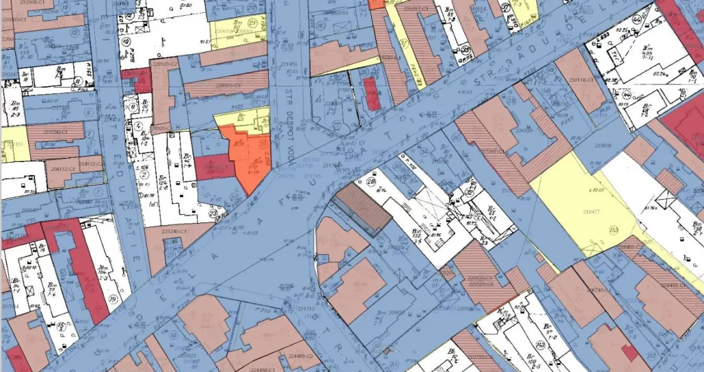
We verify cadastral information and provide you with updated details about any property. Contact us to get quality services and to ensure that you have the correct information about your property.
Please note that these translations are subject to interpretation and may require further context or refinement for specific purposes.
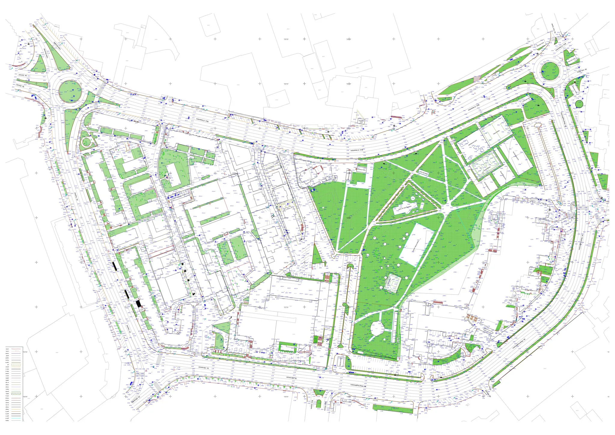
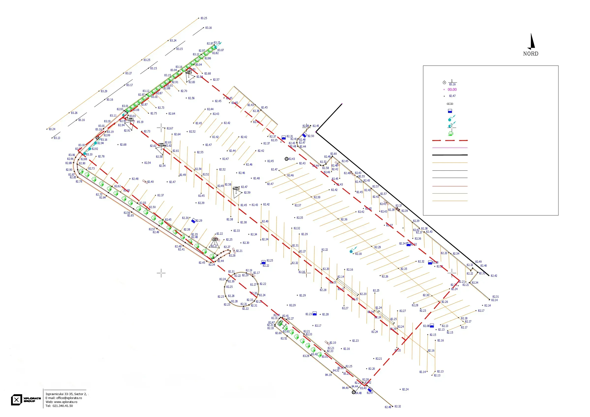
Property check projects
- Construction behavior tracking in time.
- Survey engineering, topographic surveys, pre-apartmenting and division into apartments.
- 3D laser scanning and 2D drawings, Scan- to-BIM
- Survey engineering, Topographic survey, Setting out of designed elements, Bathymetric survey, Monitoring, Settlements monitoring
- Division into apartments and cadastral documentation, survey engineering throughout the entire execution period, 3D monitoring, 3D scanning.
- Asistență topografică în șantier, UCC, rapoarte de monitorizare a deformatiilor 3D, măsurători As Built
- Survey engineering, topographic assistance on site, layout works, measurements and earthwork volume calculations (cut and fill).
- Photogrammetry, Survey engineering during the execution phase, Site plans for design purposes
- Survey engineering for the designed elements, land registration and division into apartments, topographical survey.
- 3D laser scanning , Virtual tour, 3D Solid model (Revit)
- Survey engineering, measurements for monitoring the behavior of neighboring constructions over time, earthwork volume calculation, 3D monitoring of capping beams