Land tracing
Definition
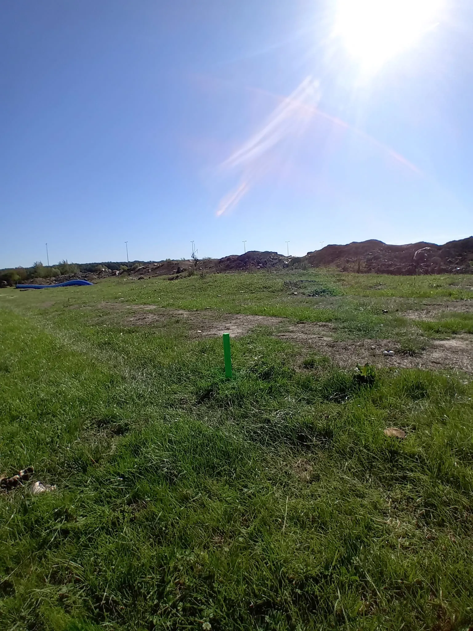
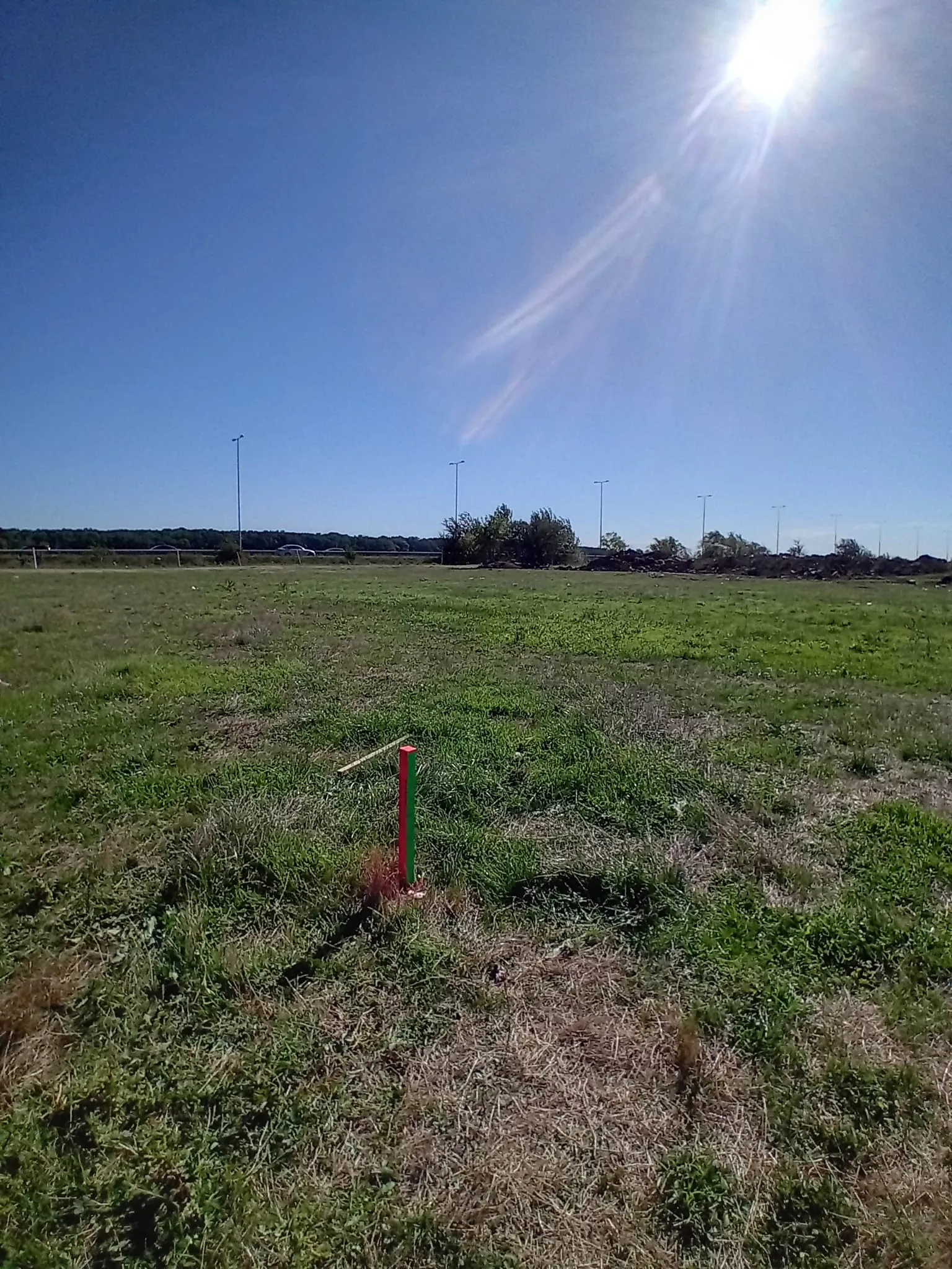
It represents the topographical operation through which the cadastral limit of a building is materialized on the field. We recommend this operation before signing the sale-purchase contract, thus ensuring the prevention of any subsequent disputes related to the position of the purchased land.
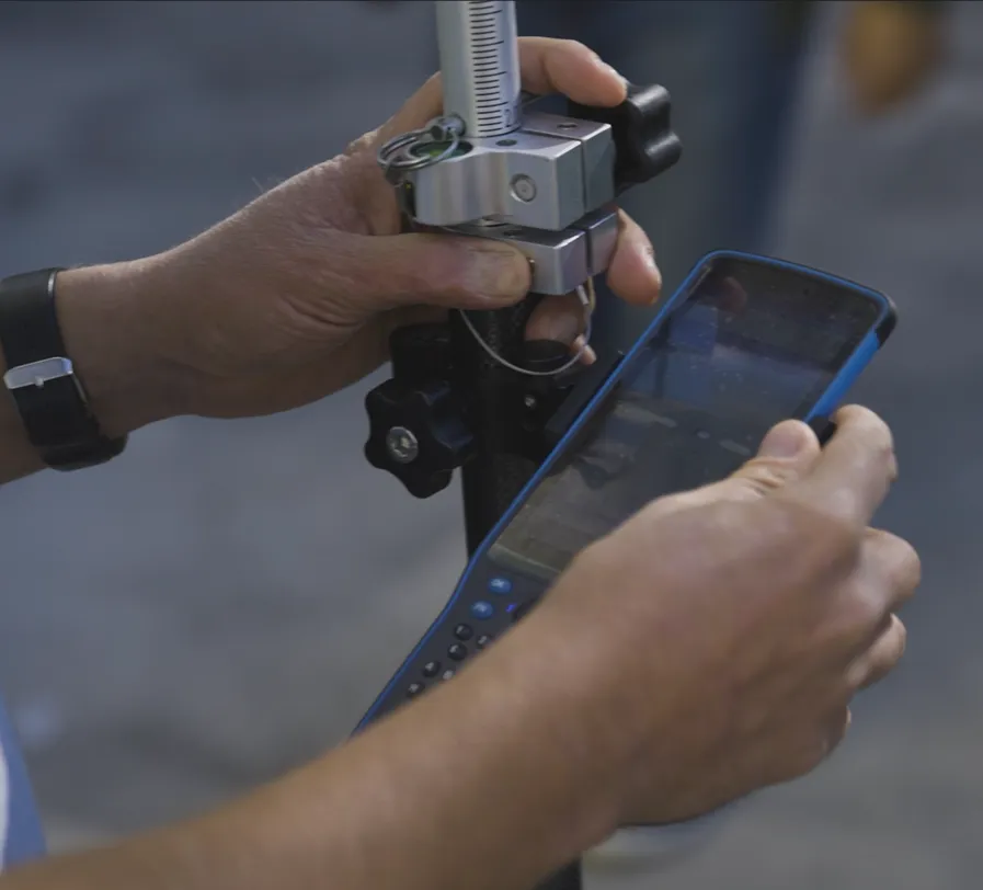
The tracing/staking operation of the land is performed by GNSS technology and total station, ending with the issuance of a tracing protocol issued by an authorized ANCPI (National Agency for Cadastre and Land Registration) company.
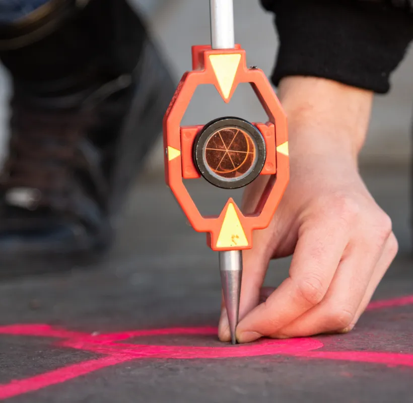
Land staking
Land staking is a crucial step in the process of ensuring the accuracy and correctness of topographical measurements, contributing to the solid foundation of construction projects and other ground-based operations.
When is this service needed?
- Purchase of land: Before buying a land, it is recommended to trace it. This action provides a precise picture of the location of the land and allows you to check if the cadastral boundaries correspond to the existing fences on the land, preventing potential disputes with neighbors.
- Building an enclosure: If you are the owner of a land that is not enclosed and you want to build a fence to delimit the property, it is important to mark the boundaries of the land. This guarantees that the fence boundary will be consistent with the cadastral boundaries of the property.
- Obtaining the Building Permit: In order to obtain the building permit, the City Hall requests the addition of a land tracing protocol to the permit file. In this context, it is recommended to carry out the tracing of the land and a topographic survey to create a site plan of the property. This blueprint will be used by architects and structural engineers to optimize the design process of the future construction."
To start the cadastral boundary tracing operation, we need the following information:
- The county and locality where the property is located.
- The cadastral number of the property.
Based on the above information, we perform a check in the public database of OCPI (National Agency for Cadastre and Land Registration) to determine whether:
- The property is registered in the land book.
- The projection system used was Stereo ’70 or Stereo ’30 local Bucharest.
- The geometry of the property is available in the public database.
Download the template here:
Pentru a obține informații despre tururile virtuale, cereri de ofertă, contactează specialistul:
Cosmin Tărăboacă
Inginer geodez/topografie inginerească
- 0745 329 201
- cosmin.taraboaca@xplorate.ro
Proiecte verificări imbile
- Construction behavior tracking in time.
- Survey engineering, topographic surveys, pre-apartmenting and division into apartments.
- 3D laser scanning and 2D drawings, Scan- to-BIM
- Survey engineering, Topographic survey, Setting out of designed elements, Bathymetric survey, Monitoring, Settlements monitoring
- Division into apartments and cadastral documentation, survey engineering throughout the entire execution period, 3D monitoring, 3D scanning.
- Asistență topografică în șantier, UCC, rapoarte de monitorizare a deformatiilor 3D, măsurători As Built
- Survey engineering, topographic assistance on site, layout works, measurements and earthwork volume calculations (cut and fill).
- Photogrammetry, Survey engineering during the execution phase, Site plans for design purposes
- Survey engineering for the designed elements, land registration and division into apartments, topographical survey.
- 3D laser scanning , Virtual tour, 3D Solid model (Revit)
- Survey engineering, measurements for monitoring the behavior of neighboring constructions over time, earthwork volume calculation, 3D monitoring of capping beams