Ground and aerial surveying: How drones support large infrastructure projects
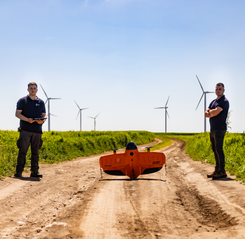
Infrastructure projects generate a massive amount of information from the earliest stages of development. Discrepancies between site conditions and documentation, construction delays, or design errors often stem from the way initial data is collected. For this reason, technologies such as 3D laser scanning, photogrammetry, and aerial mapping are increasingly being integrated into complex infrastructure projects, […]