

Vega Rompetrol Refinery
Field: Oil Industry | Energy
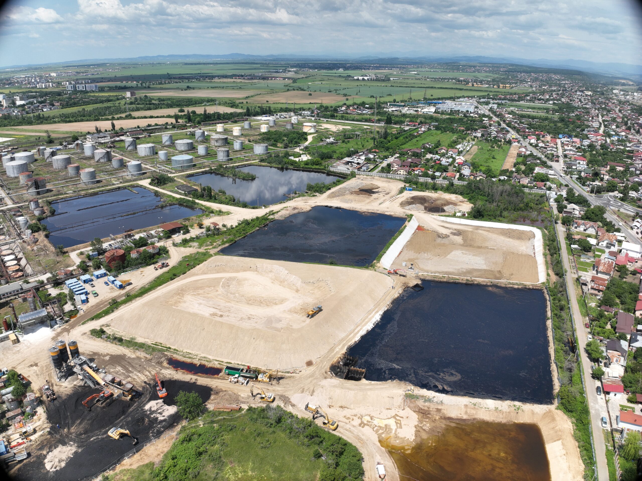
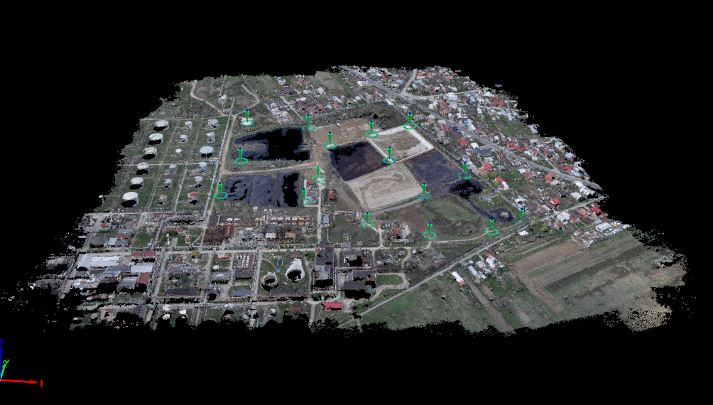
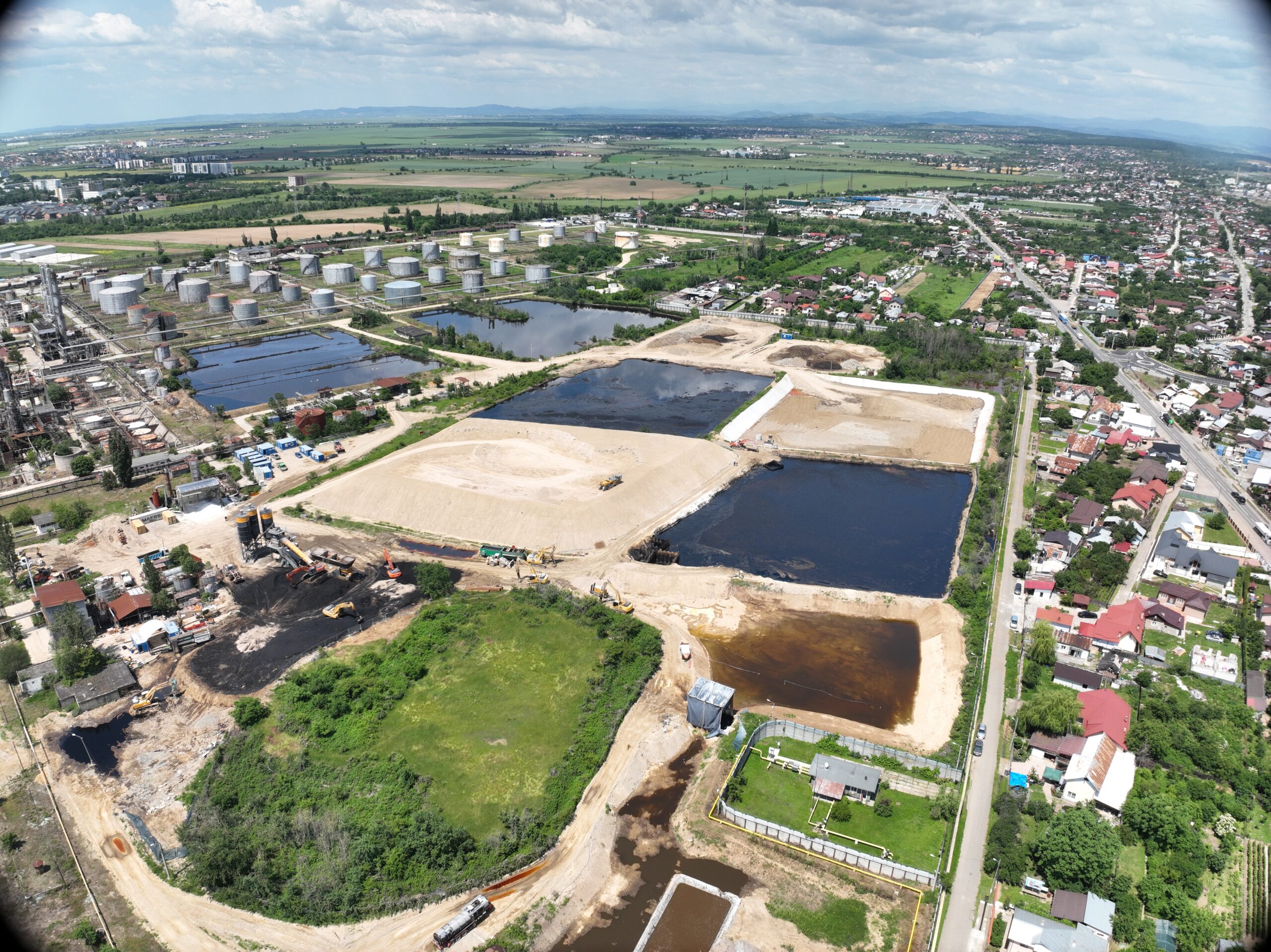
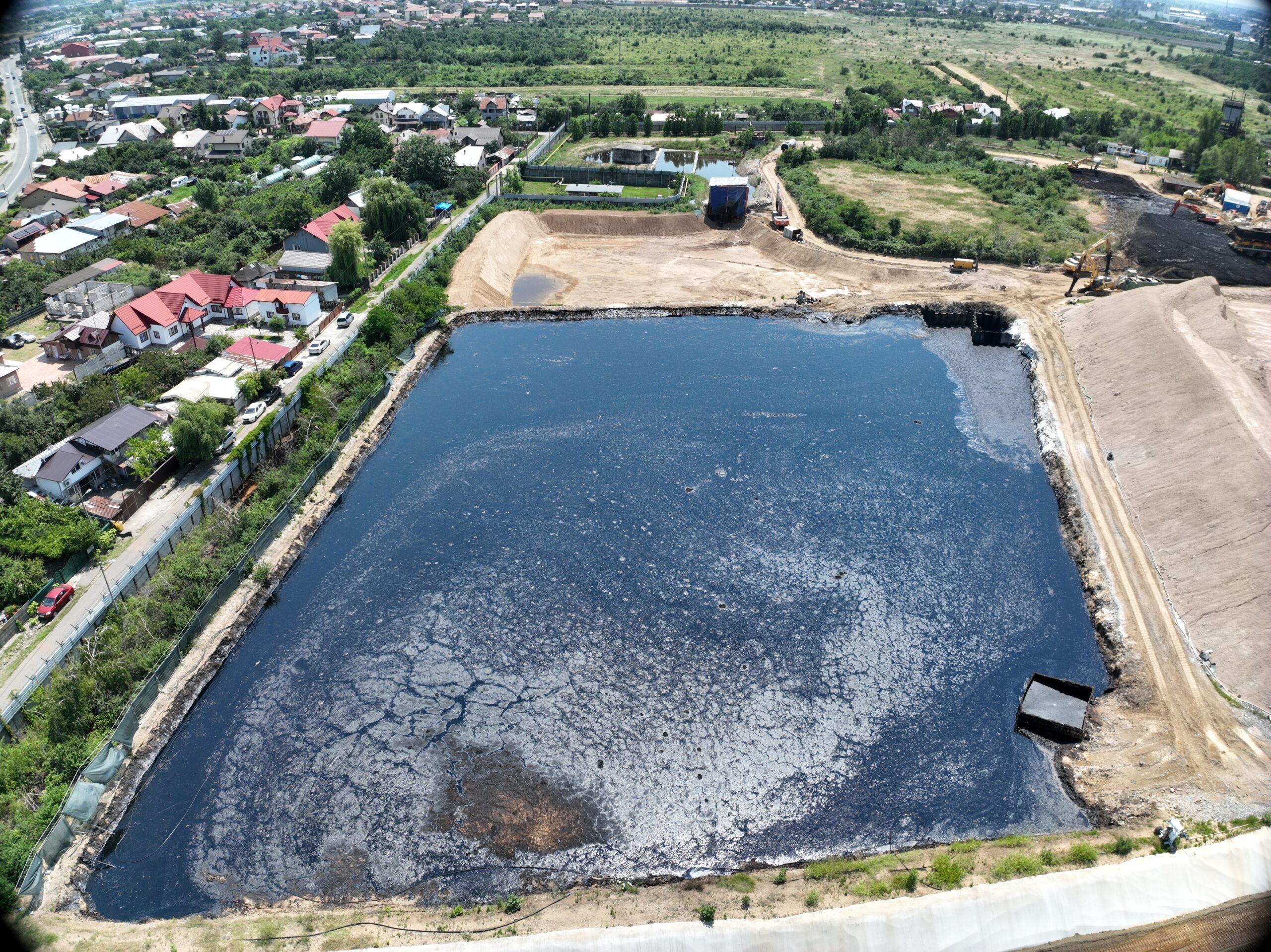
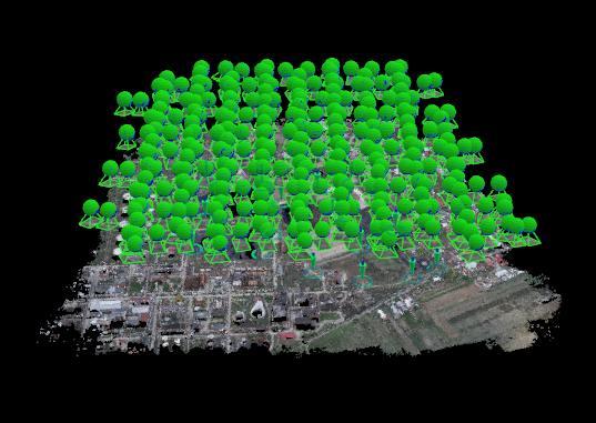
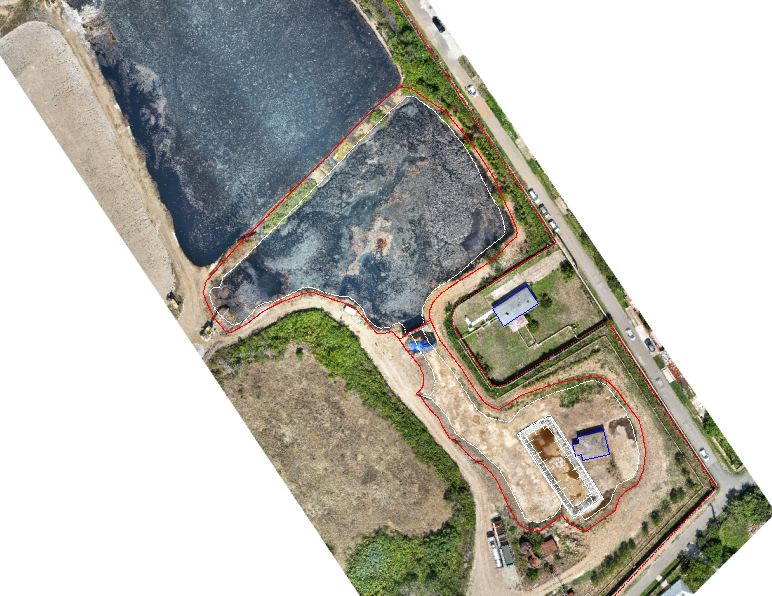
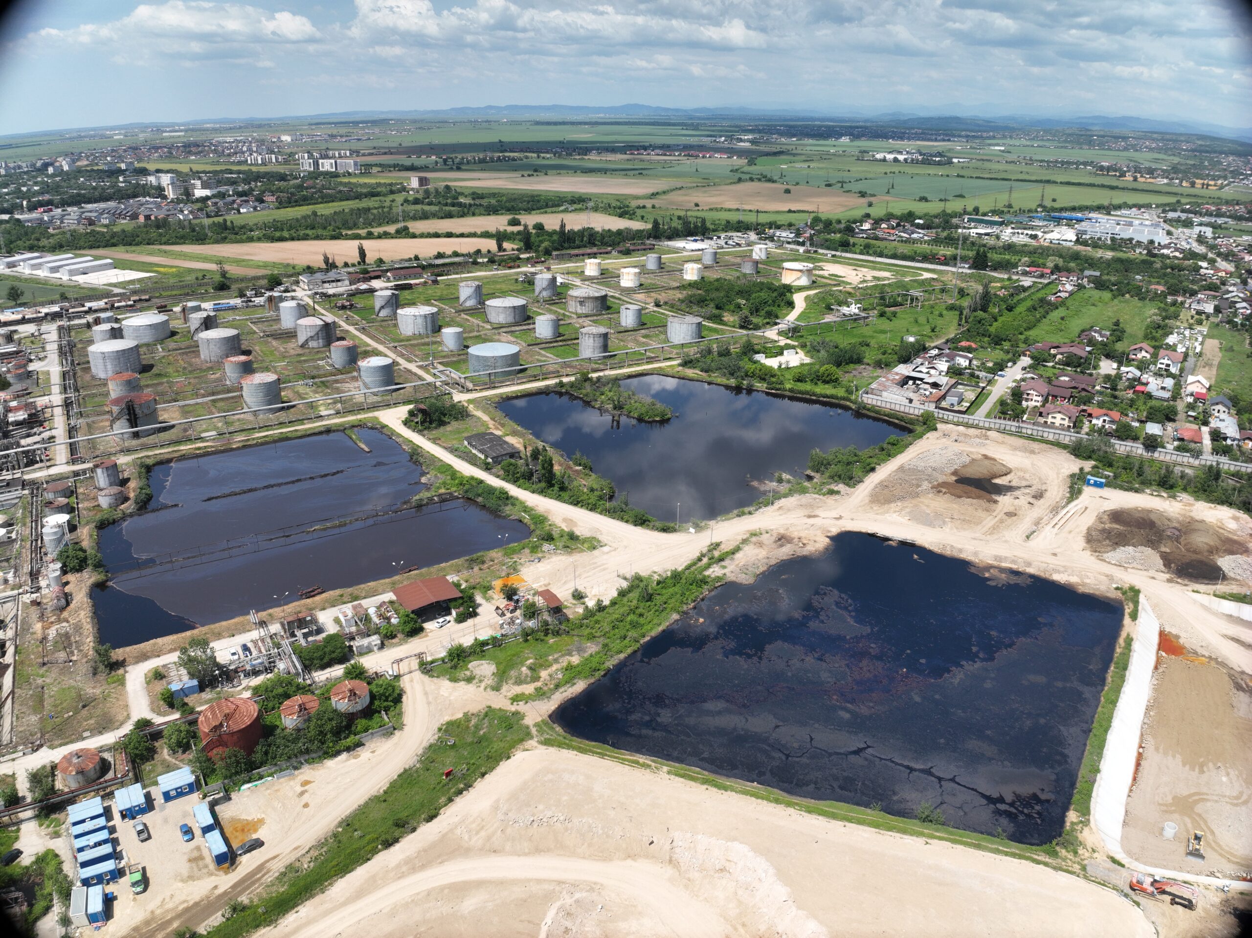
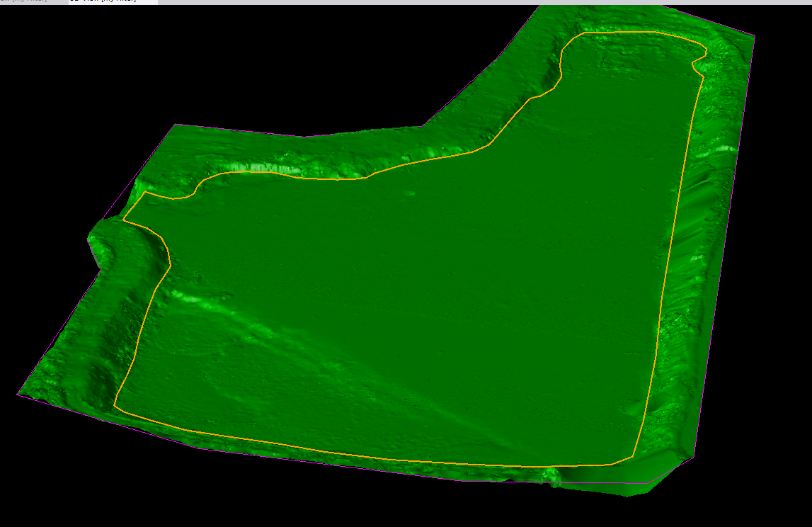
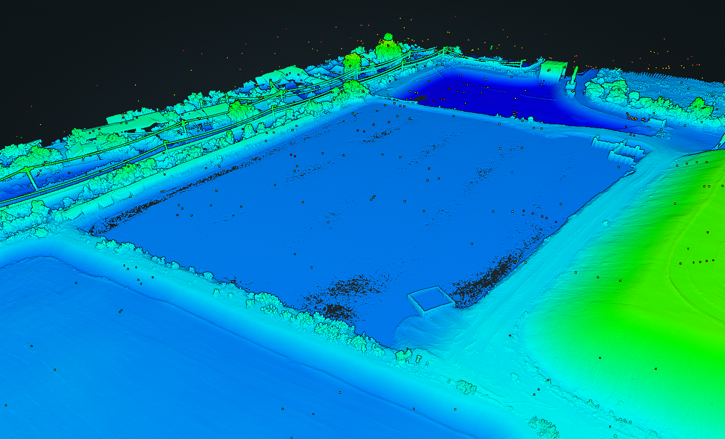
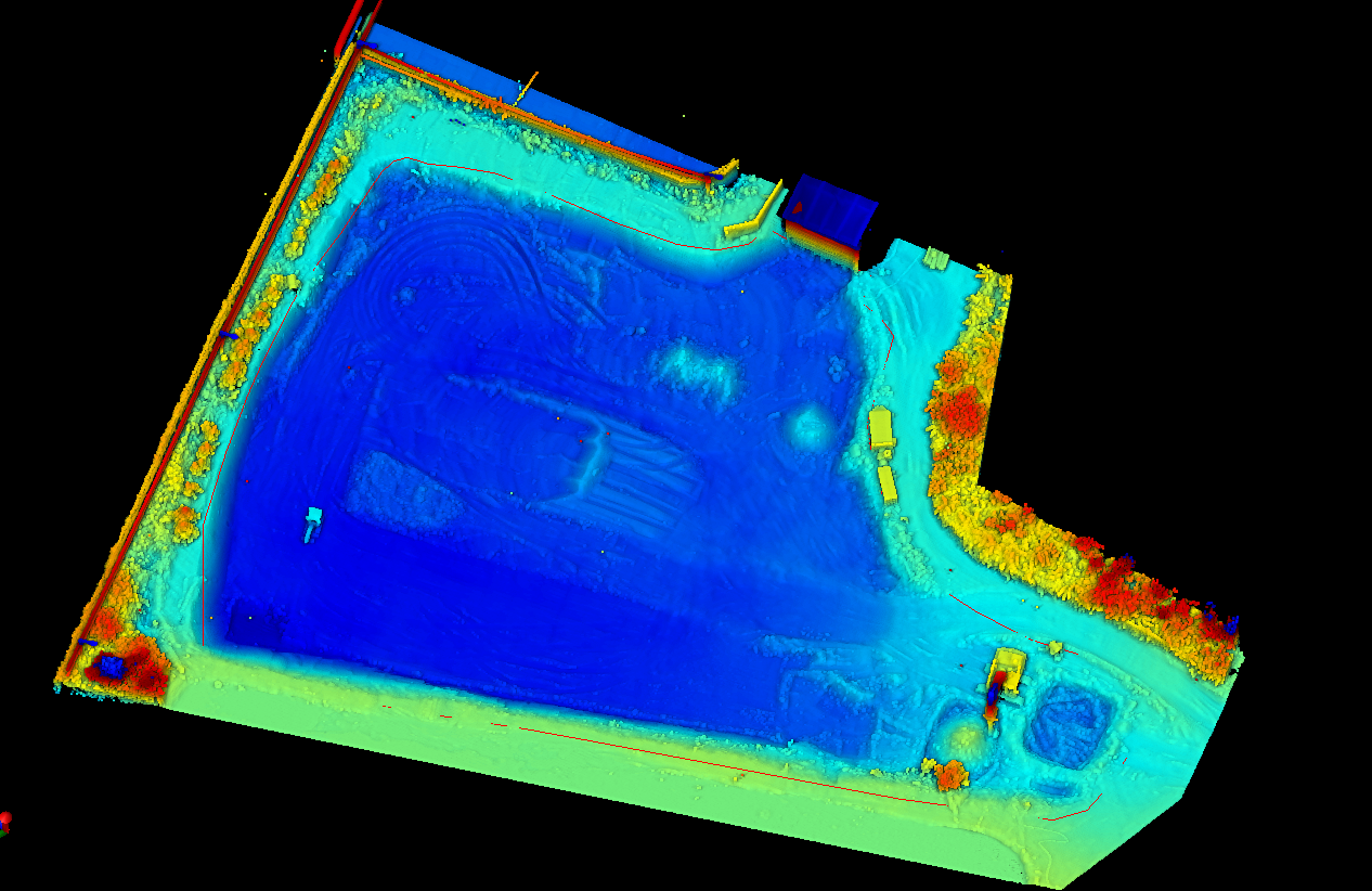
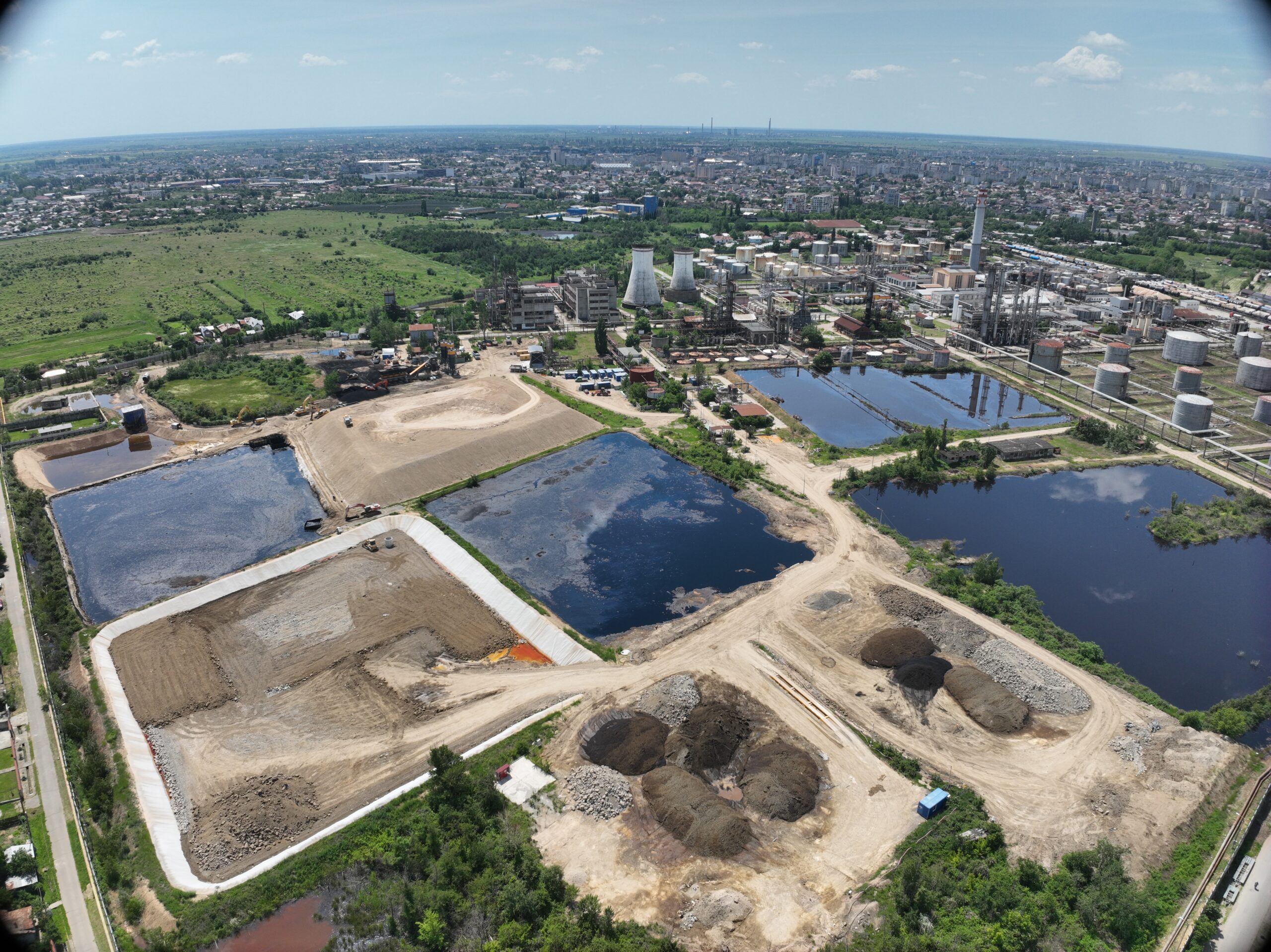
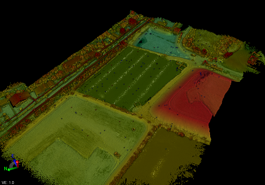
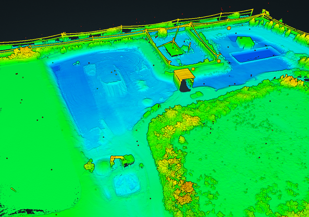
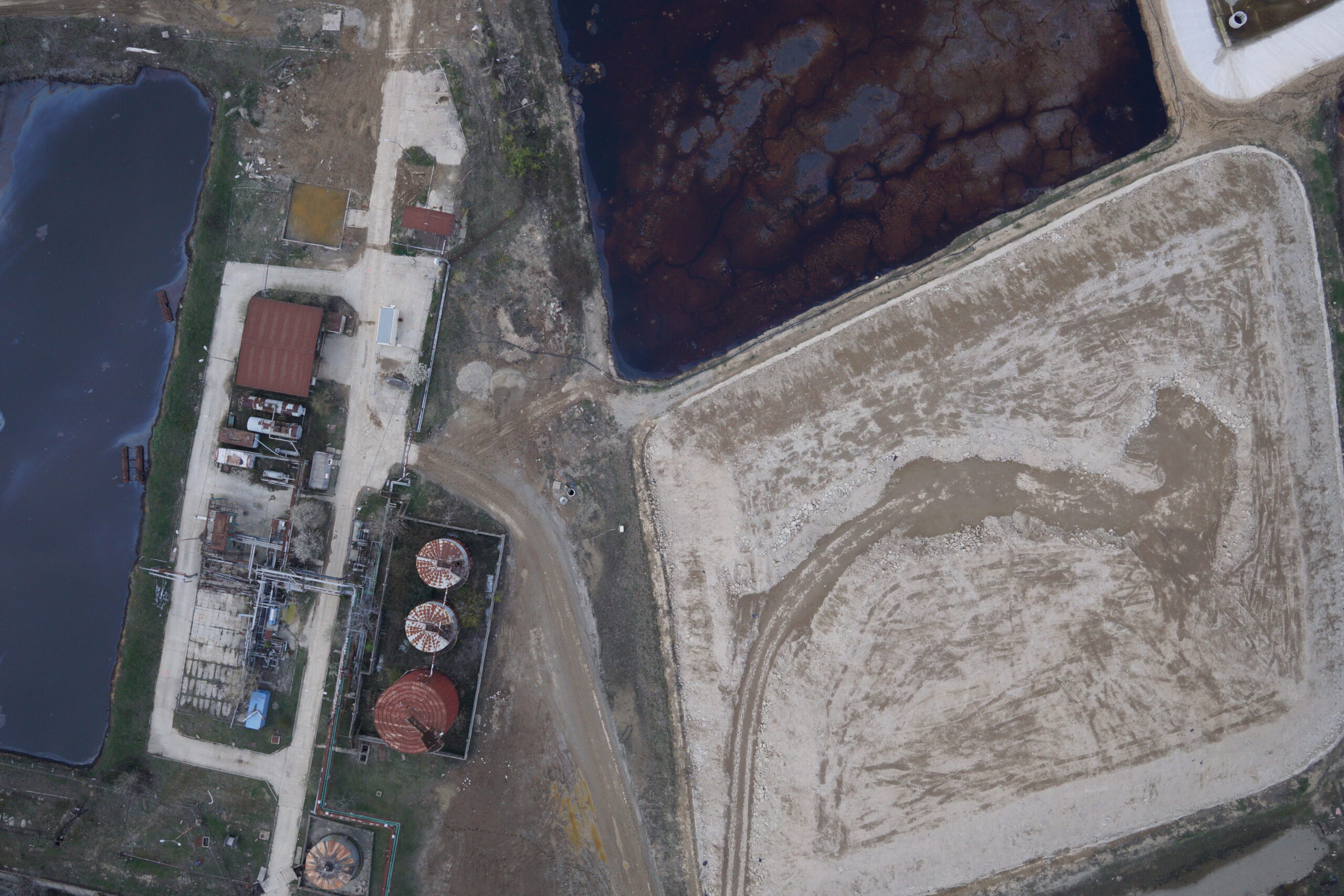
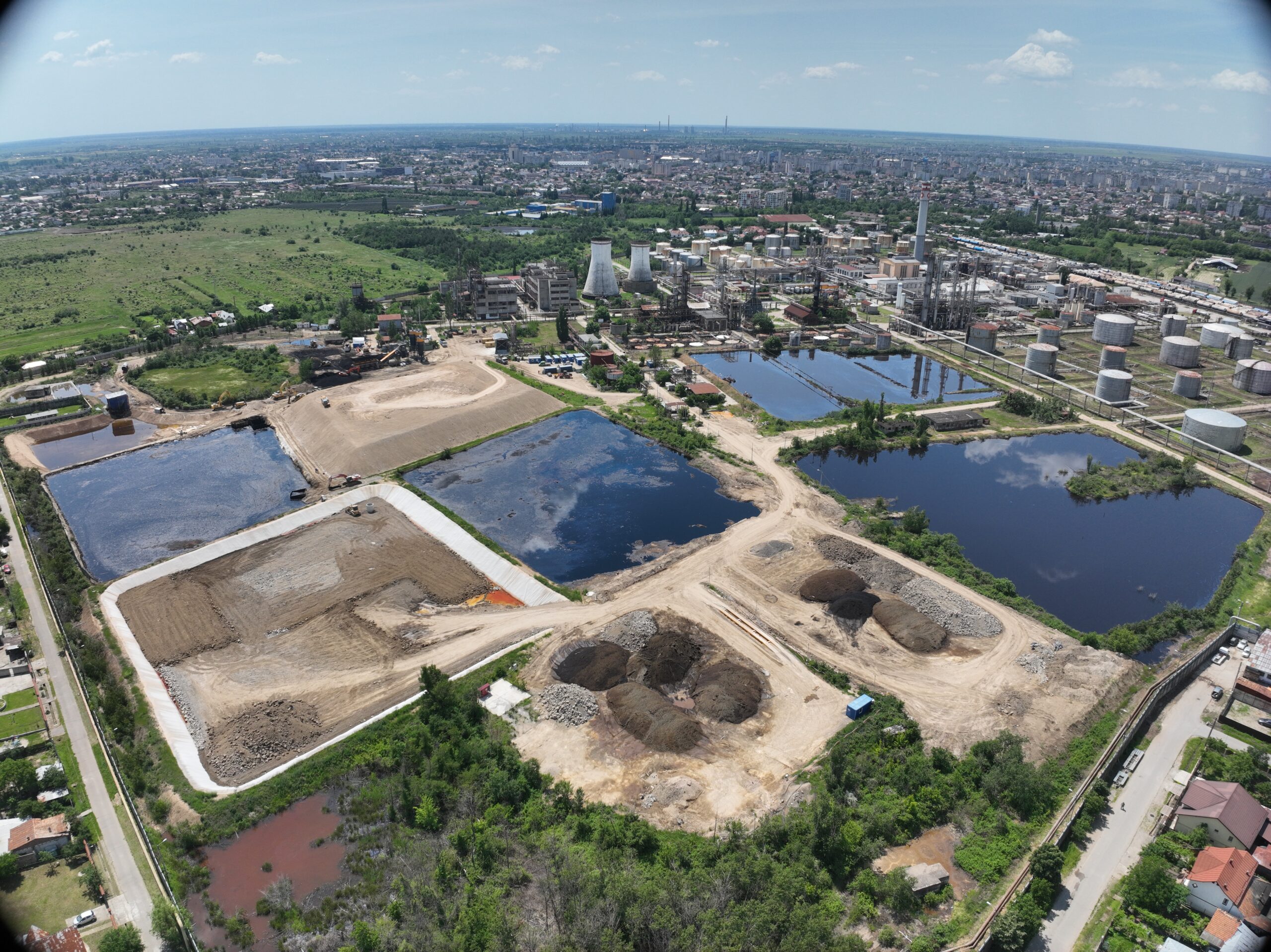
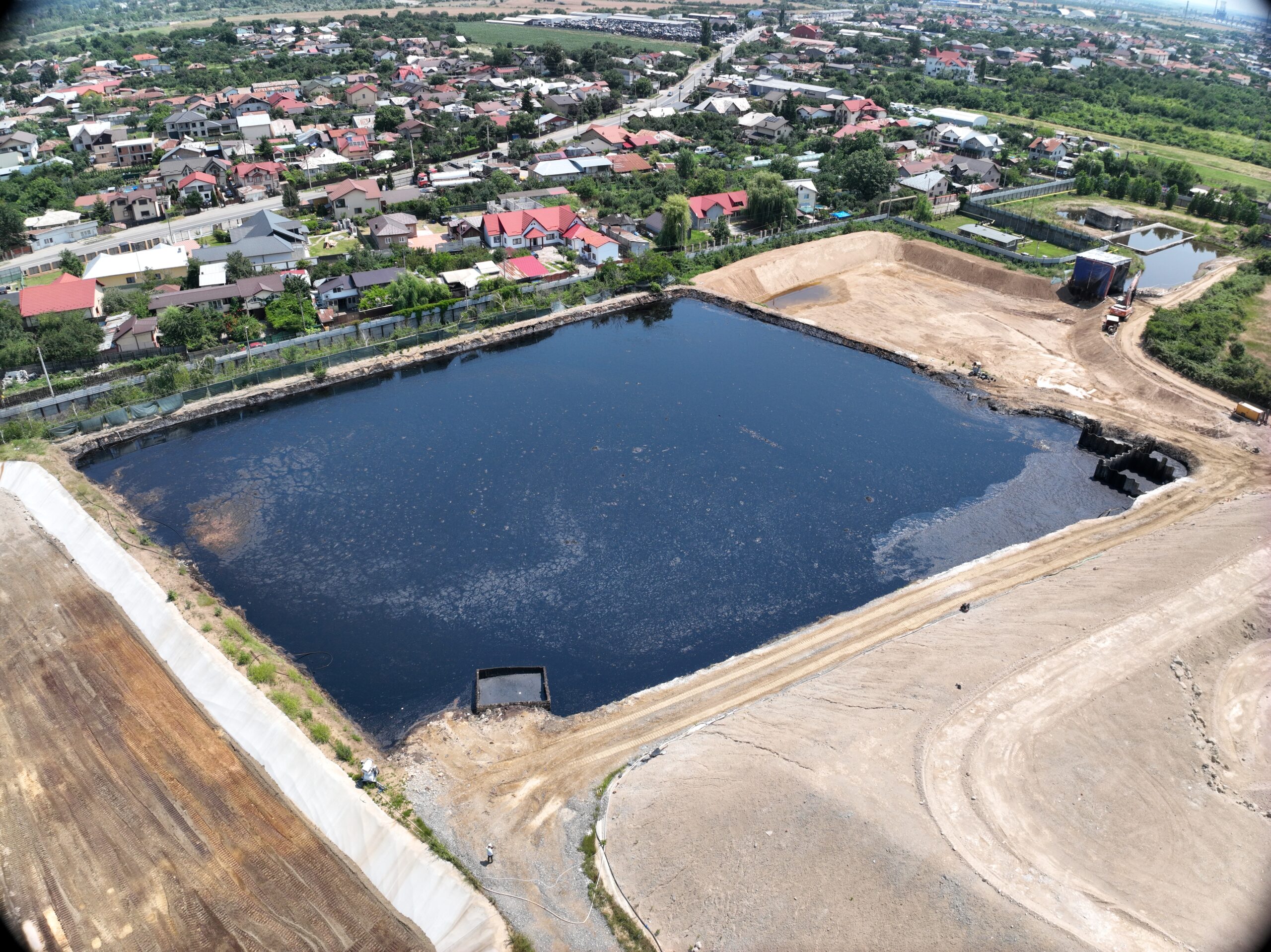
The project aimed to determine the volumes of material excavated from the basins at the Vega Rompetrol Refinery. Photogrammetric and LiDAR flights were carried out to document the site, using a drone-mounted LiDAR sensor. Digital models were generated and volumes were calculated by comparing the initial surfaces with the surfaces obtained after each excavation stage.
Approximate surveyed area: 15,755 sqm
Deliverables:
- Orthophotoplan
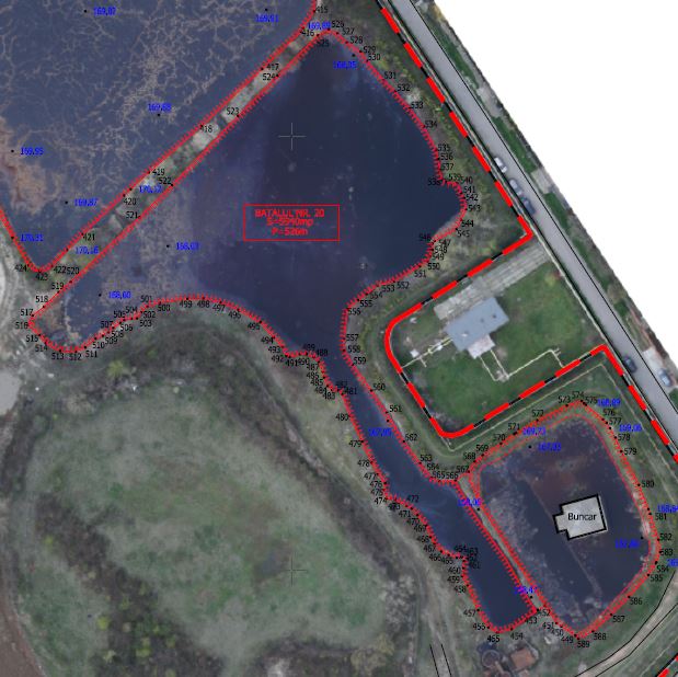
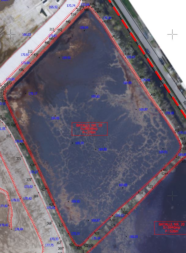
- Planimetric and altimetric site plan
- Determination of characteristic perimeters and areas
- Determination of basin volumes
- Topographic report for volume calculation
- 3D model of the excavated surfaces
Equipment used:
- DJI Matrice 350 RTK drone
- DJI Mavic 3E Enterprise drone
- LiDAR sensor: Rock Robotic R3Pro
Xplorate Group team:
- 2 land surveyors with experience in photogrammetry and LiDAR scanning
- 2 specialists in geospatial data processing and volumetric analysis