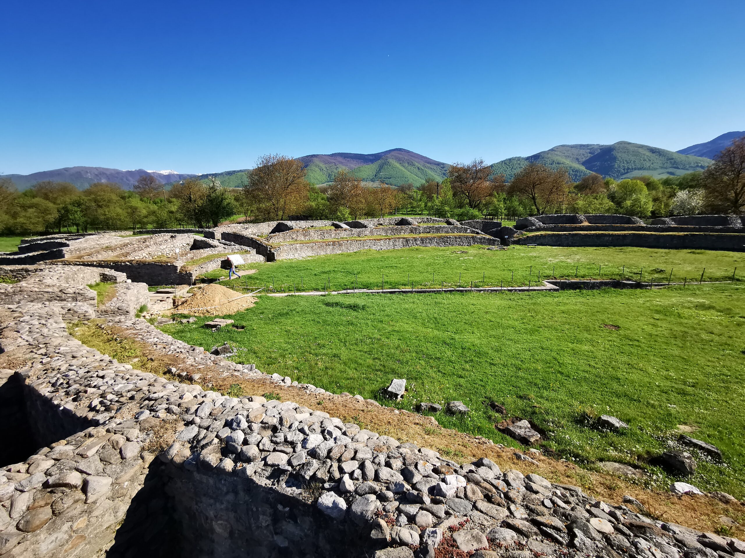
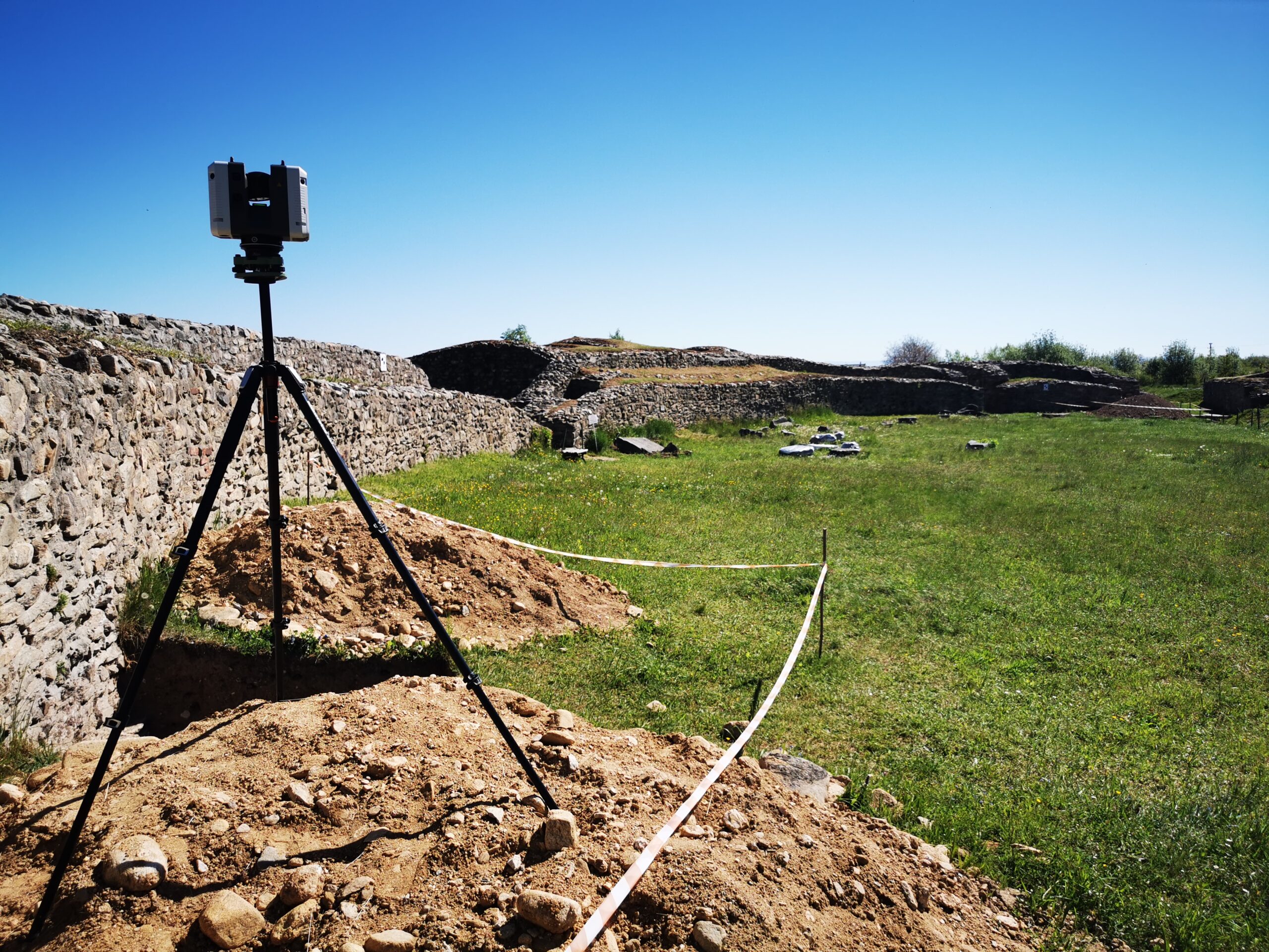
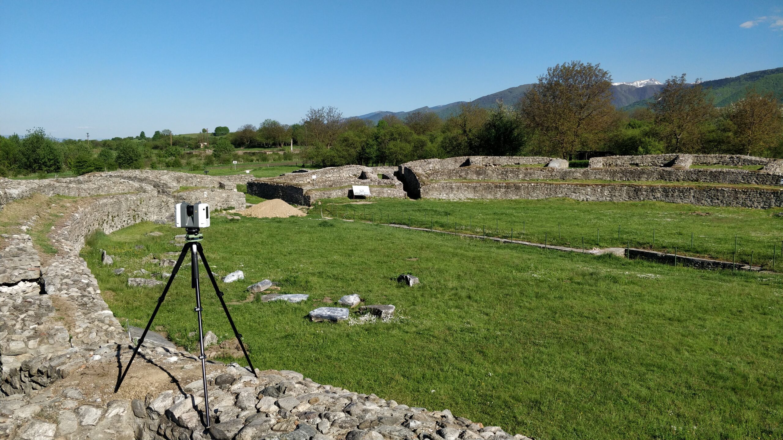
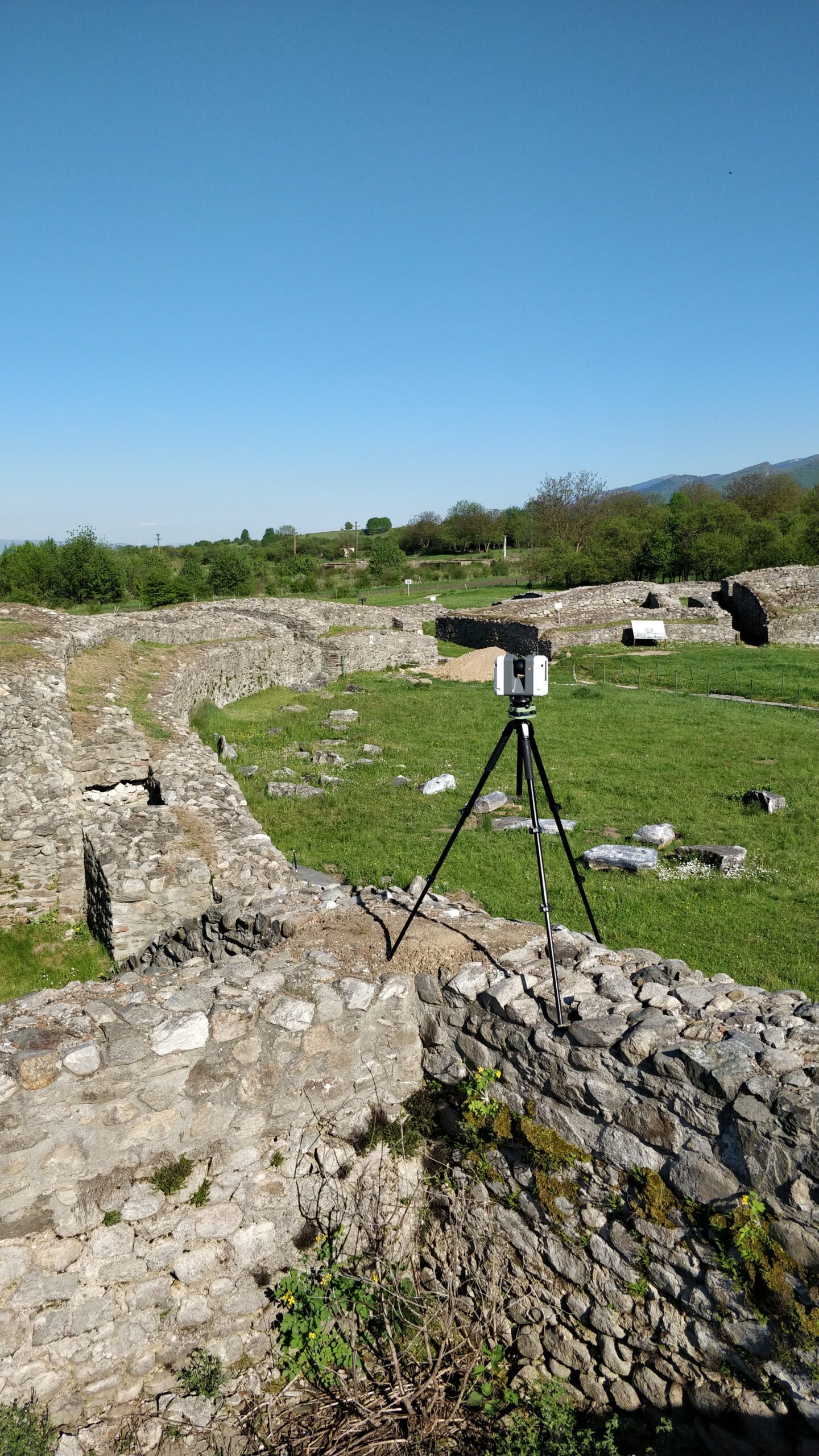
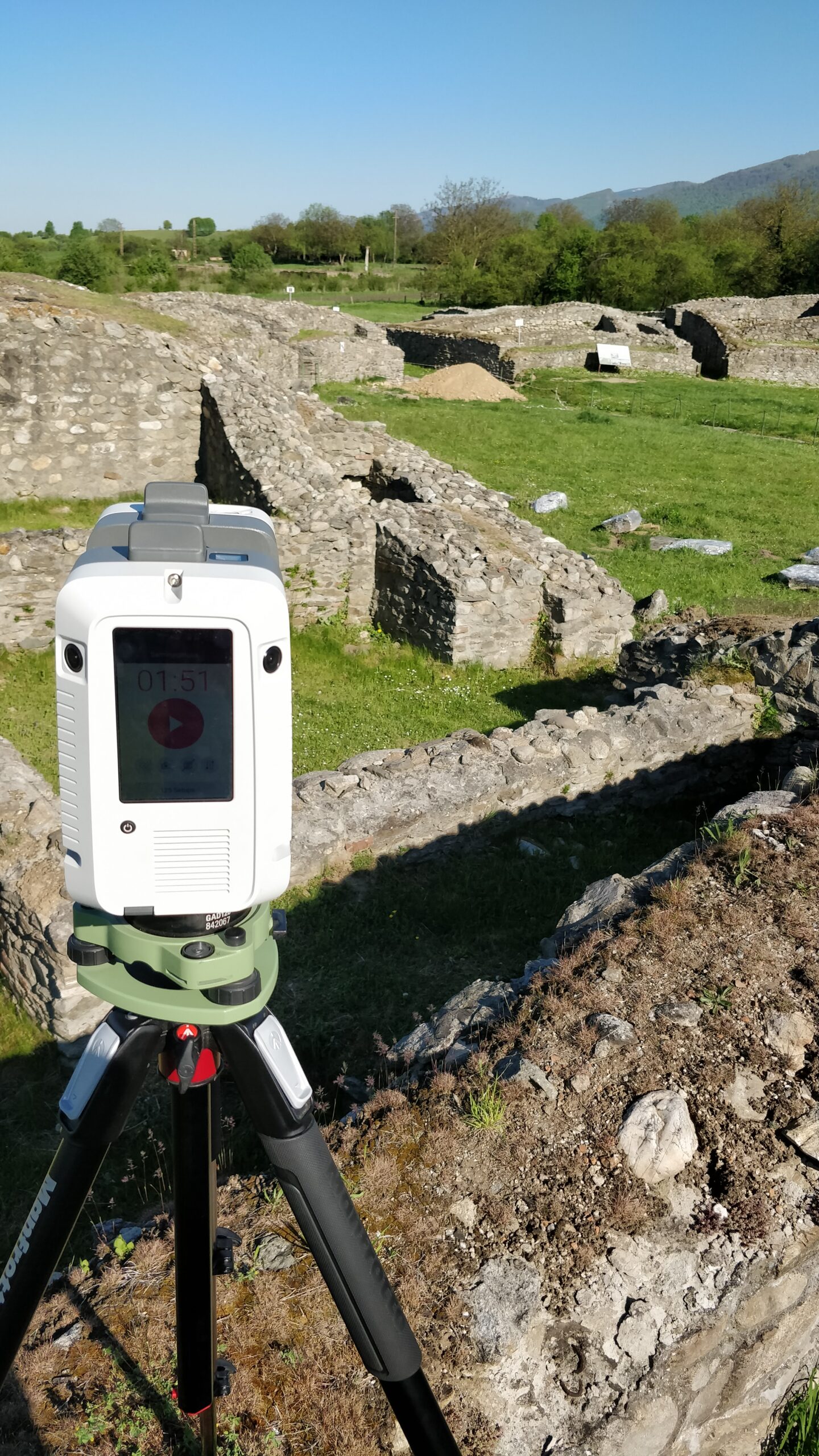
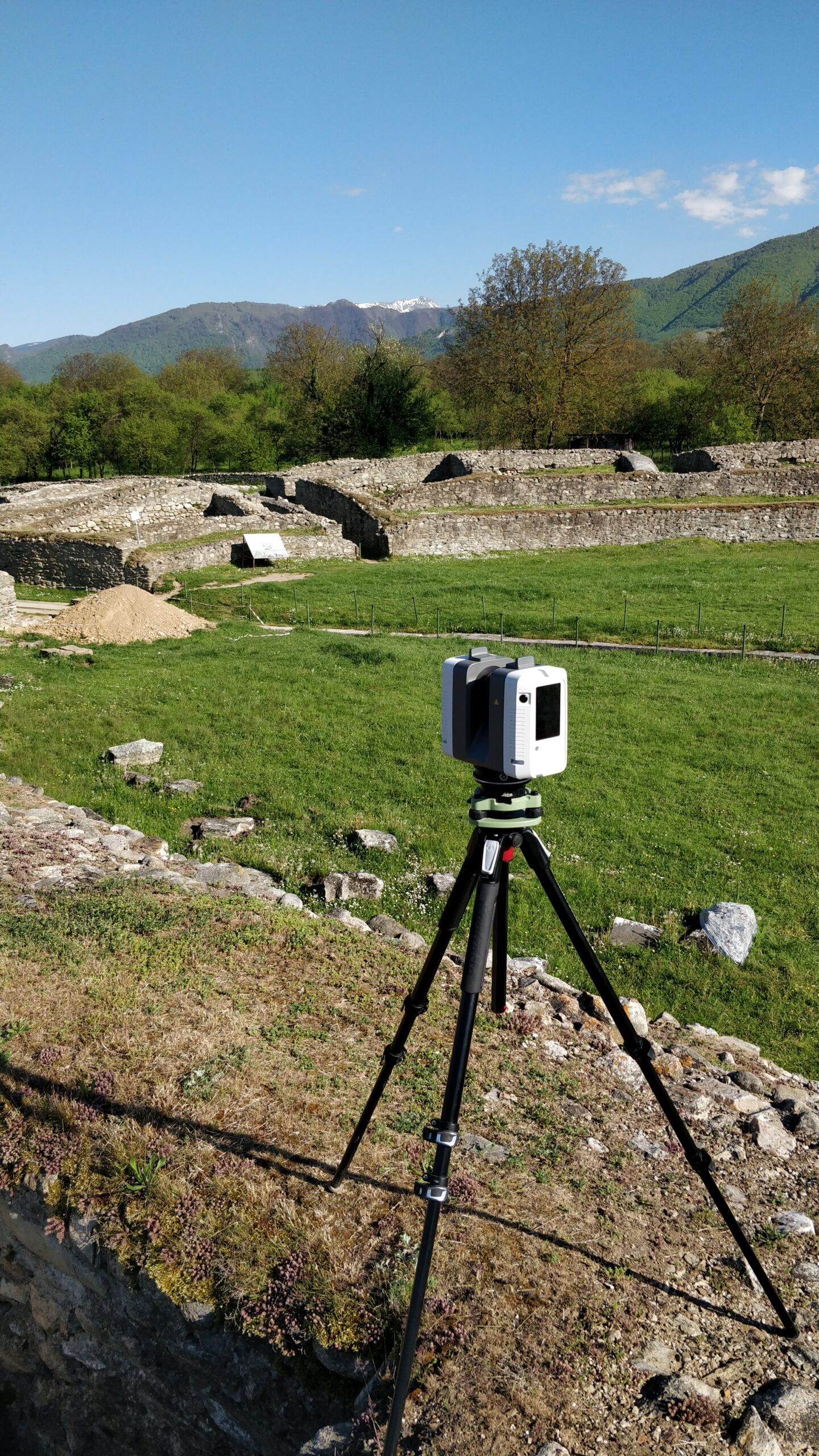
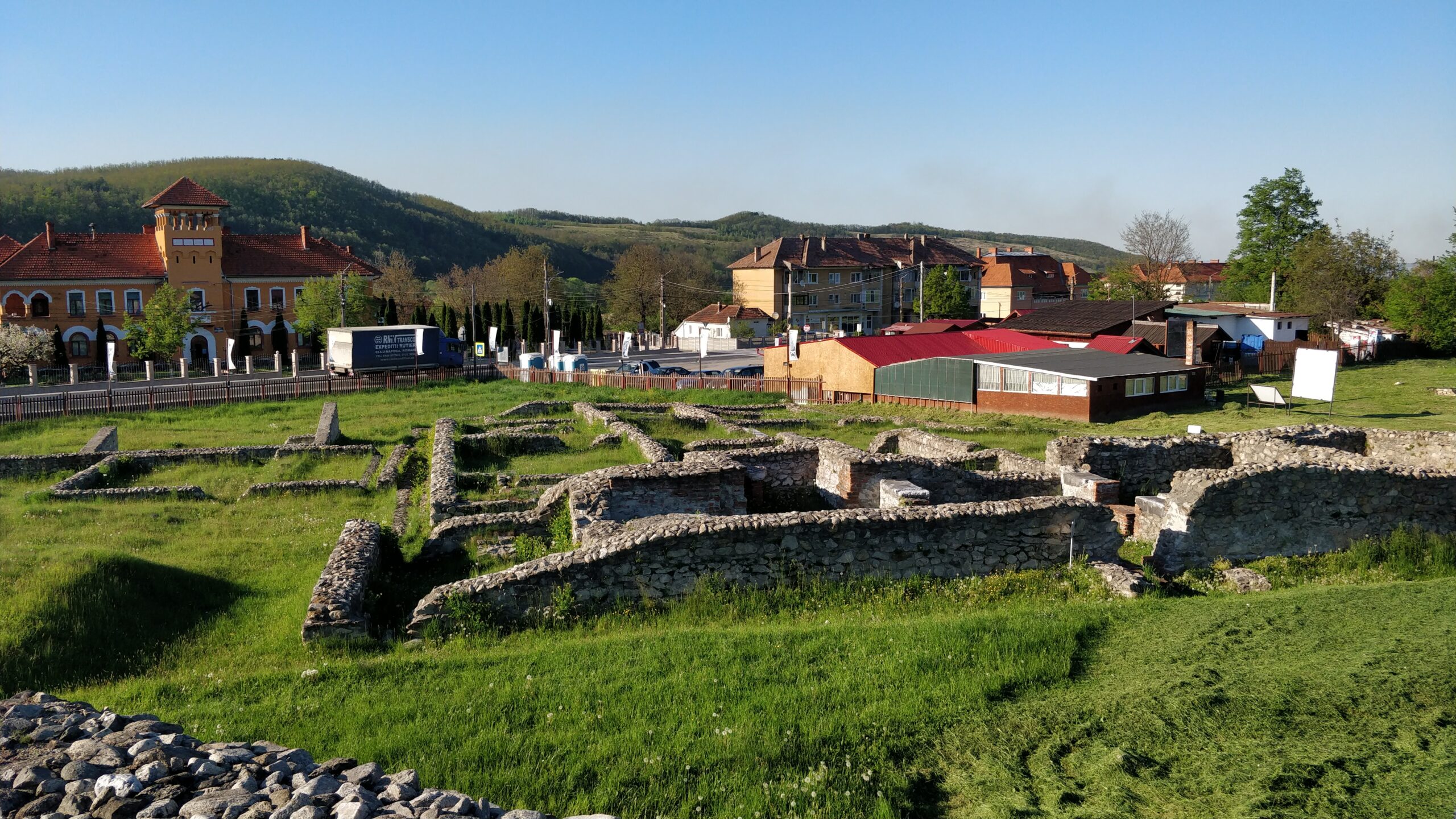
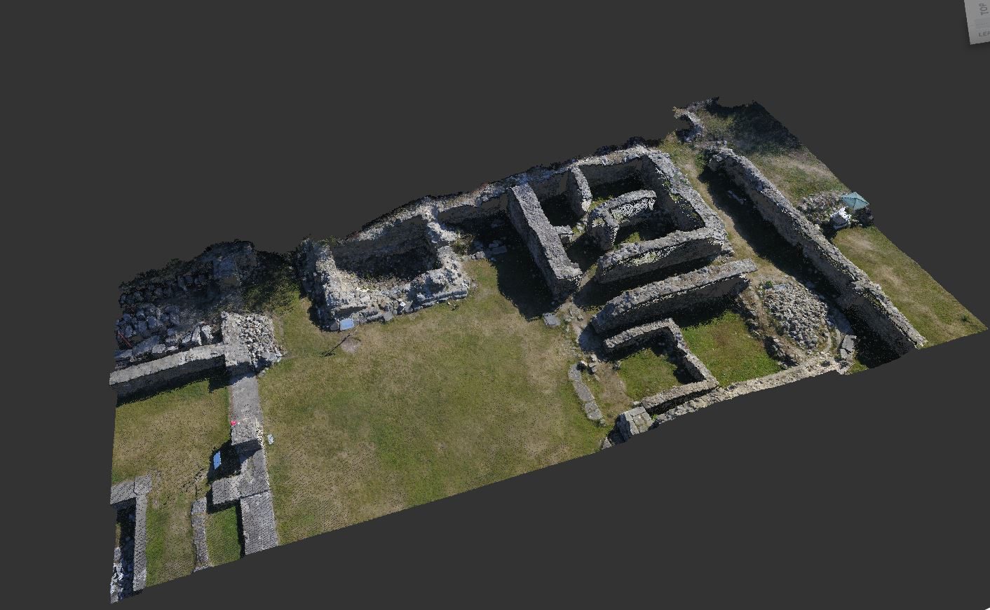
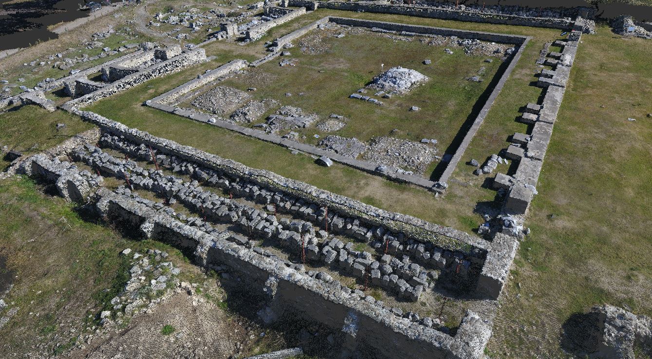
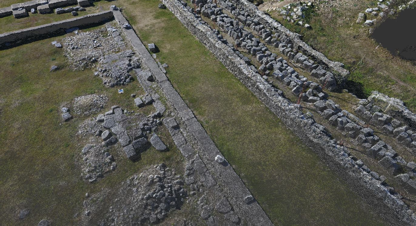
Ulpia Traiana Sarmizegetusa – a pro bono project in partnership with the Heritage Institute
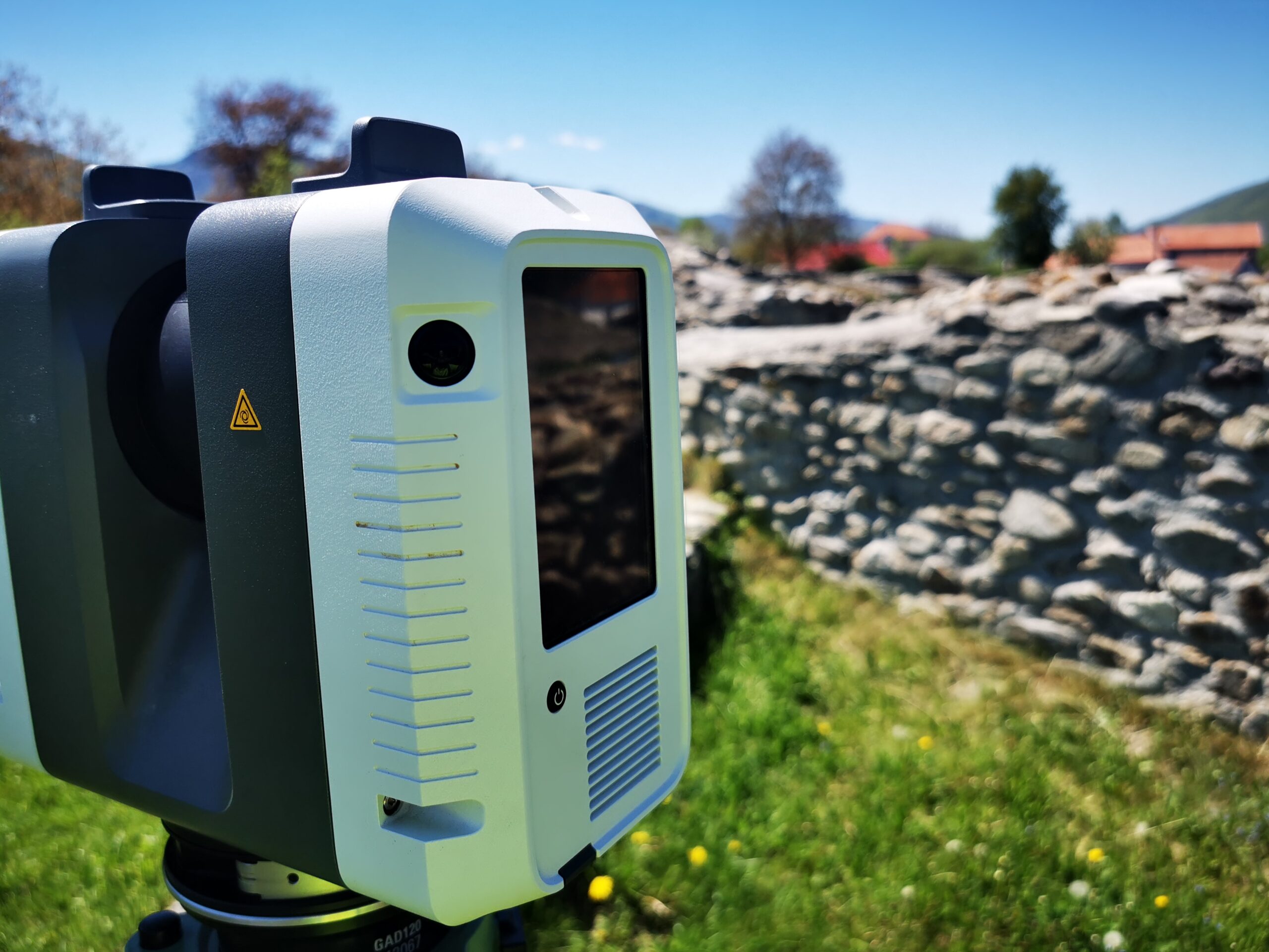
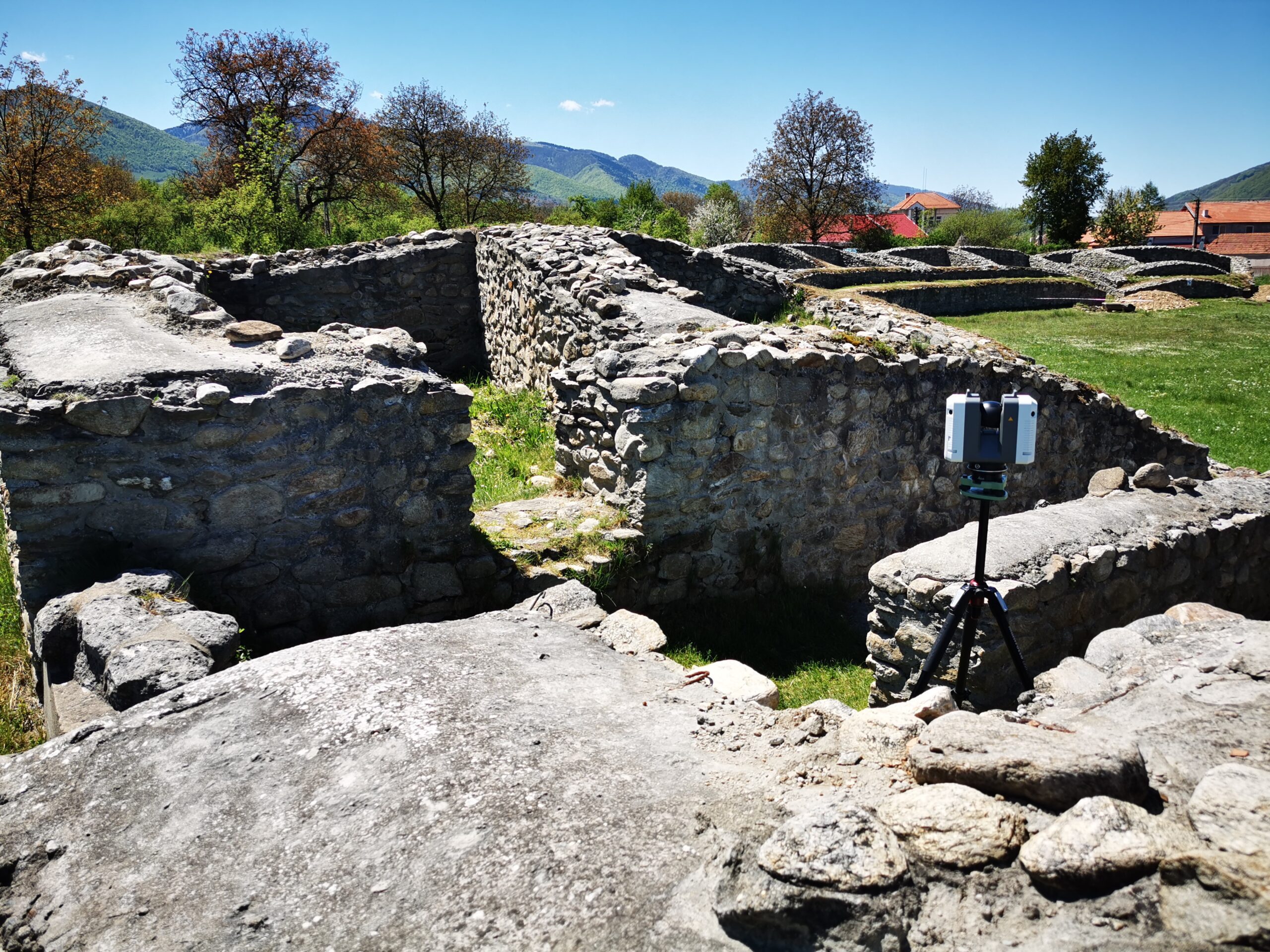
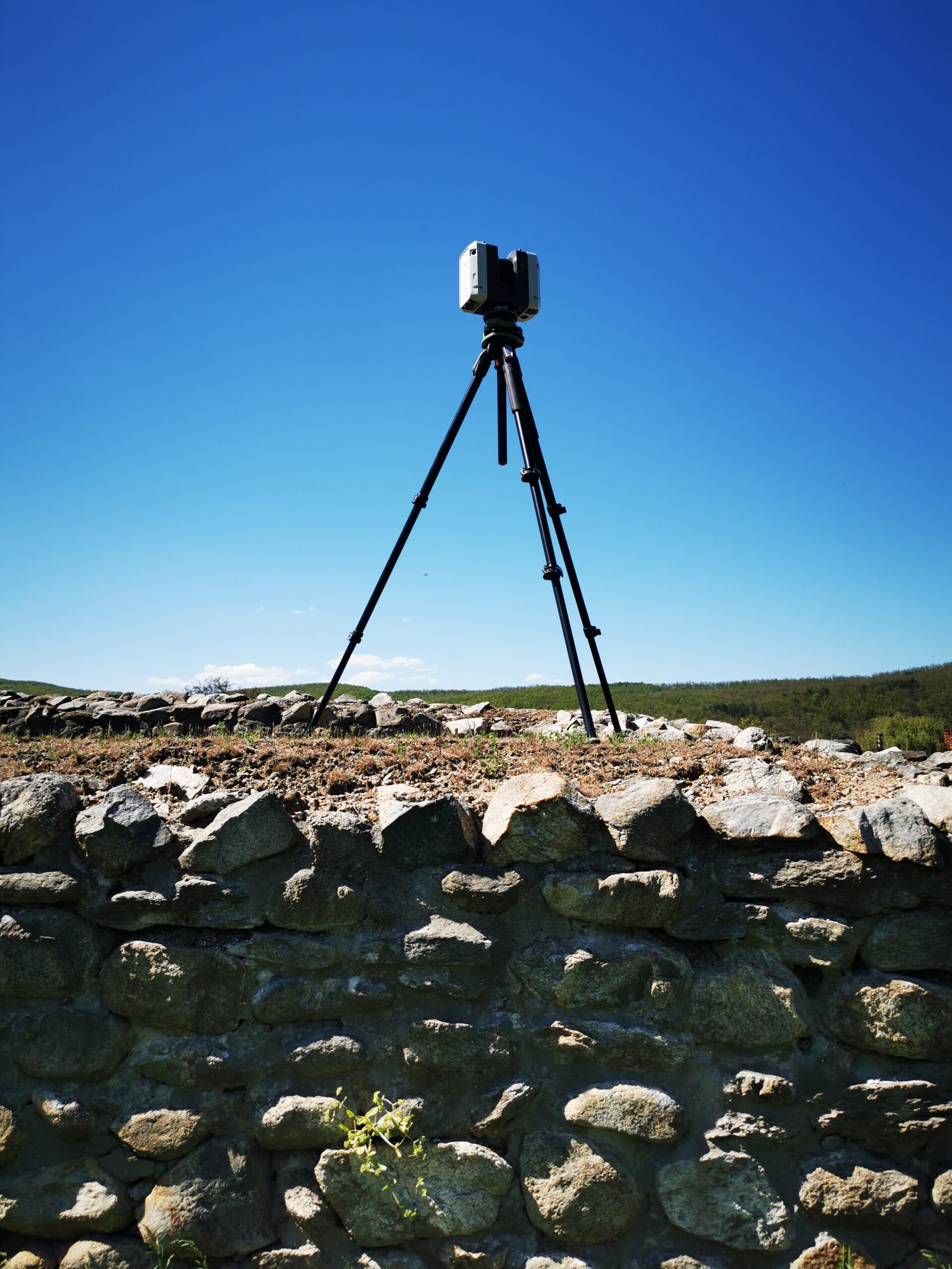
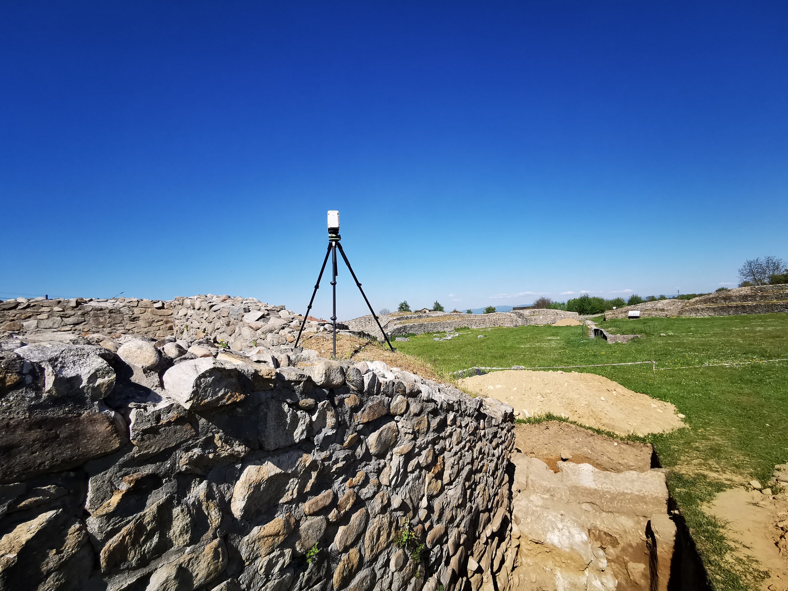
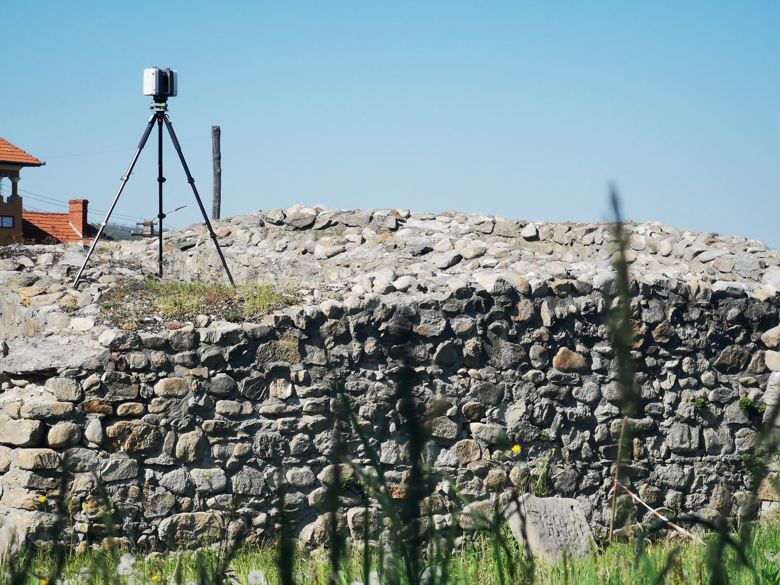
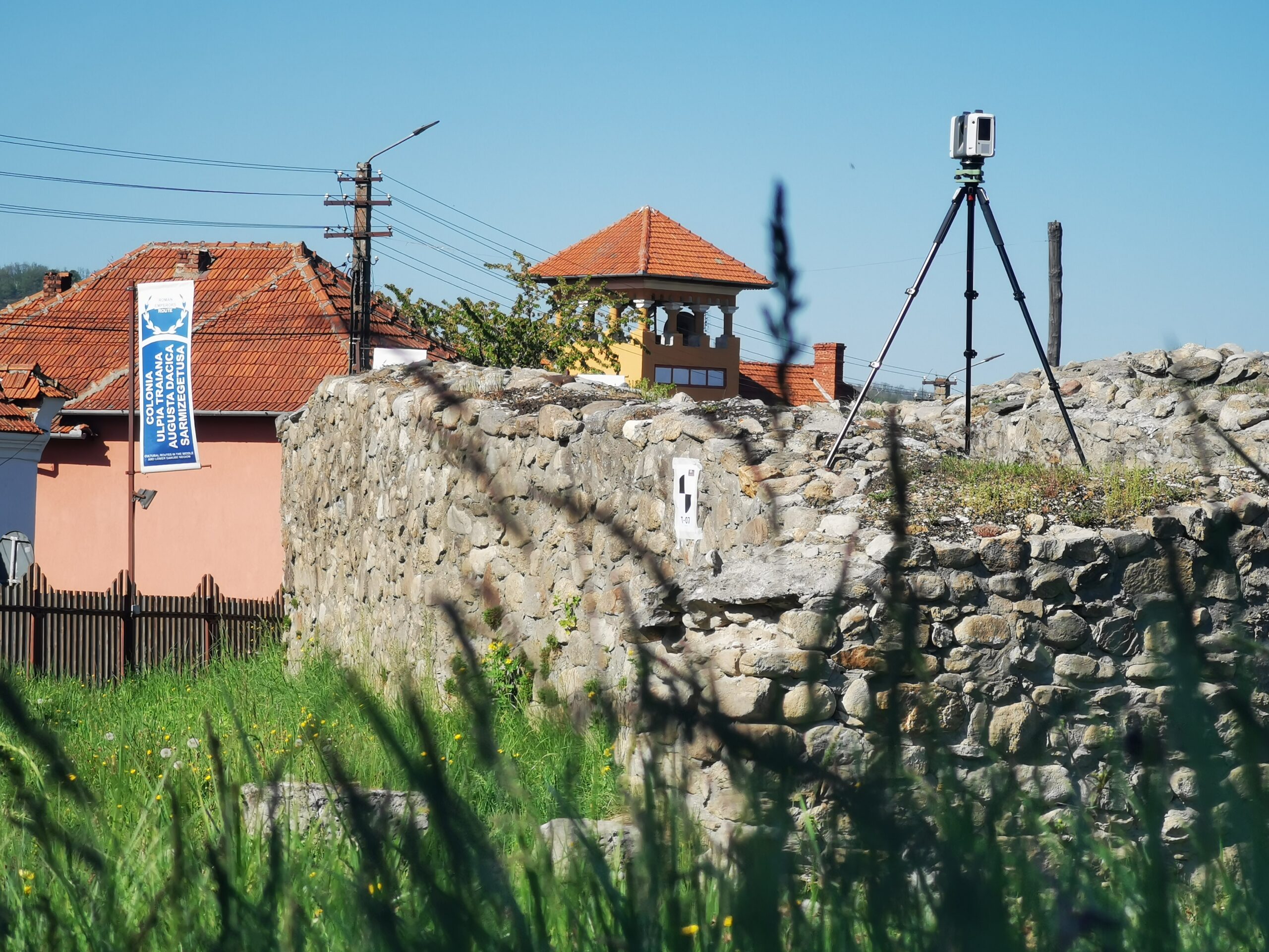
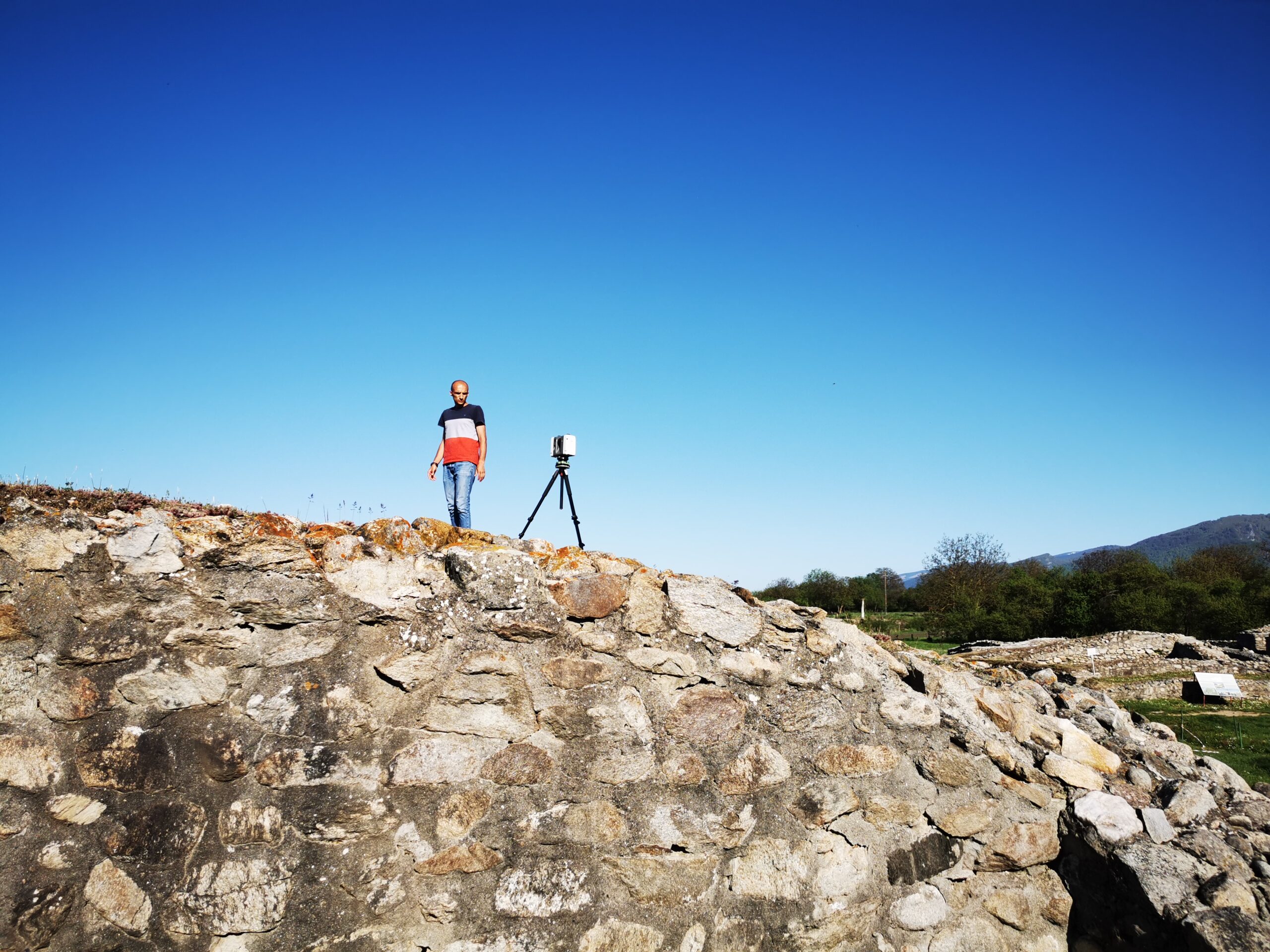
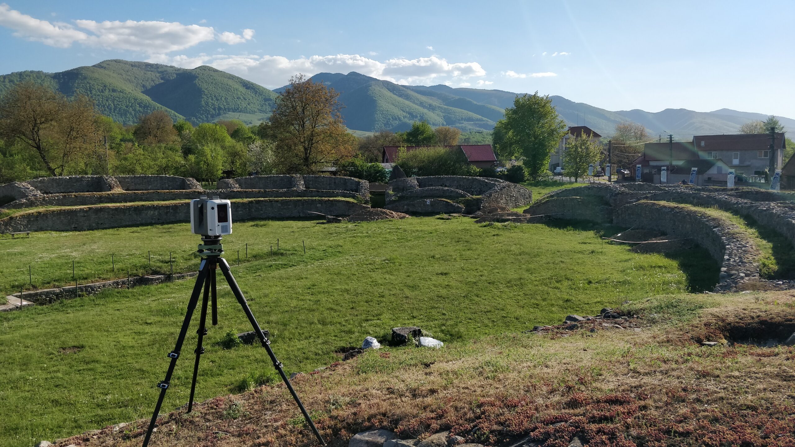
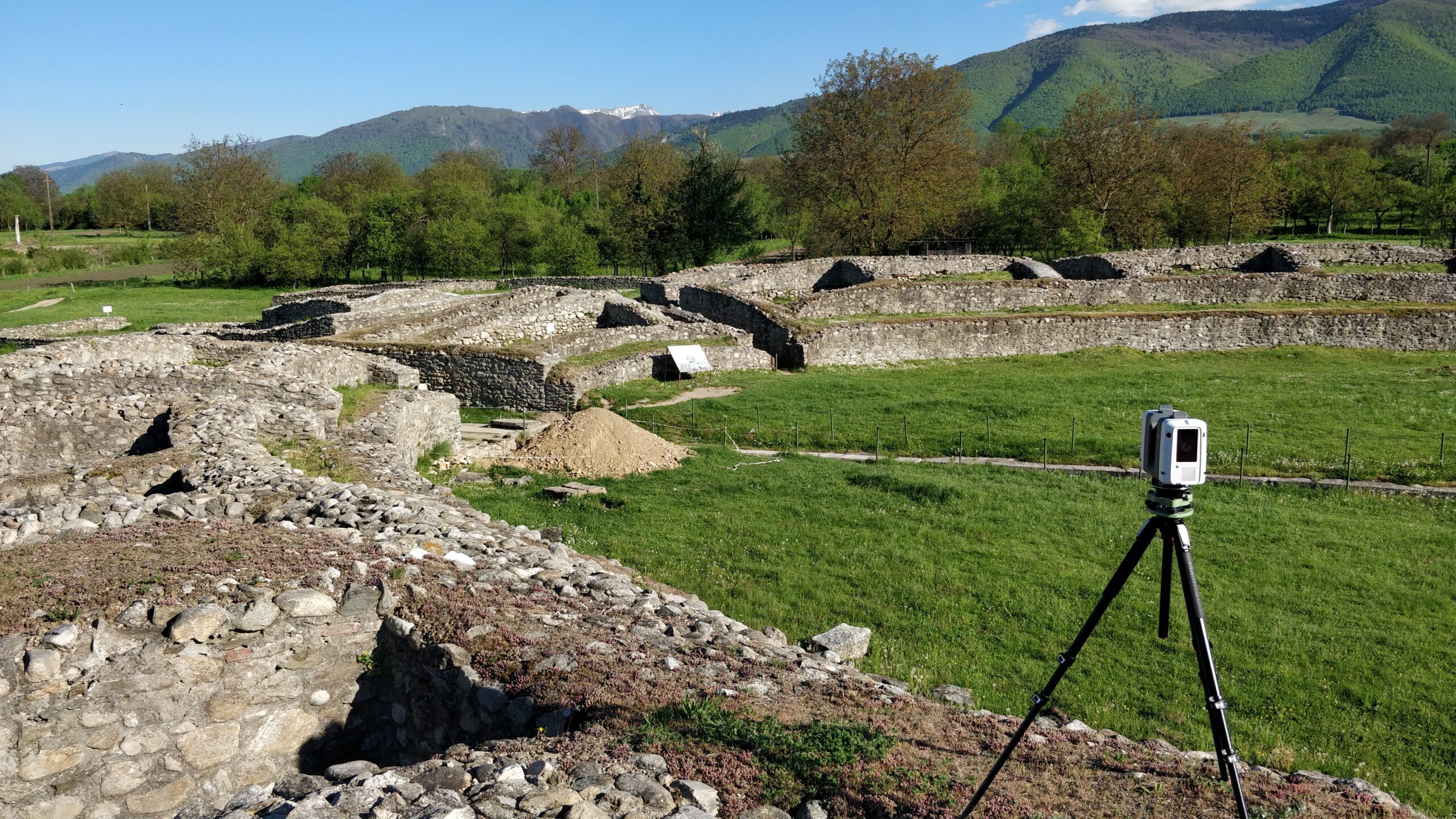
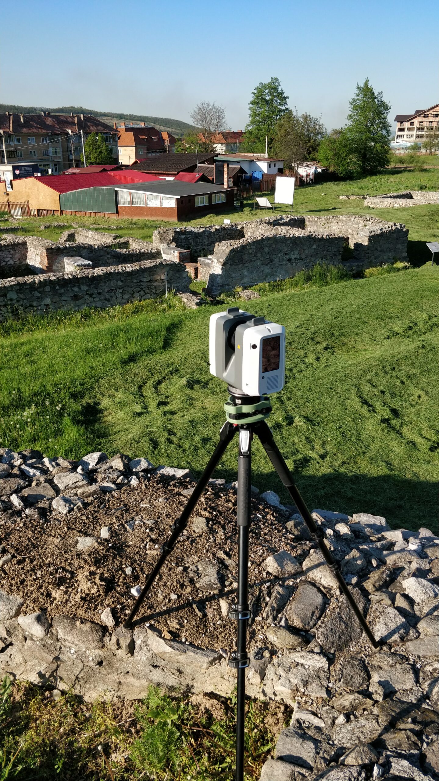
- 3D laser scanning
- 3D solid model – LOD200
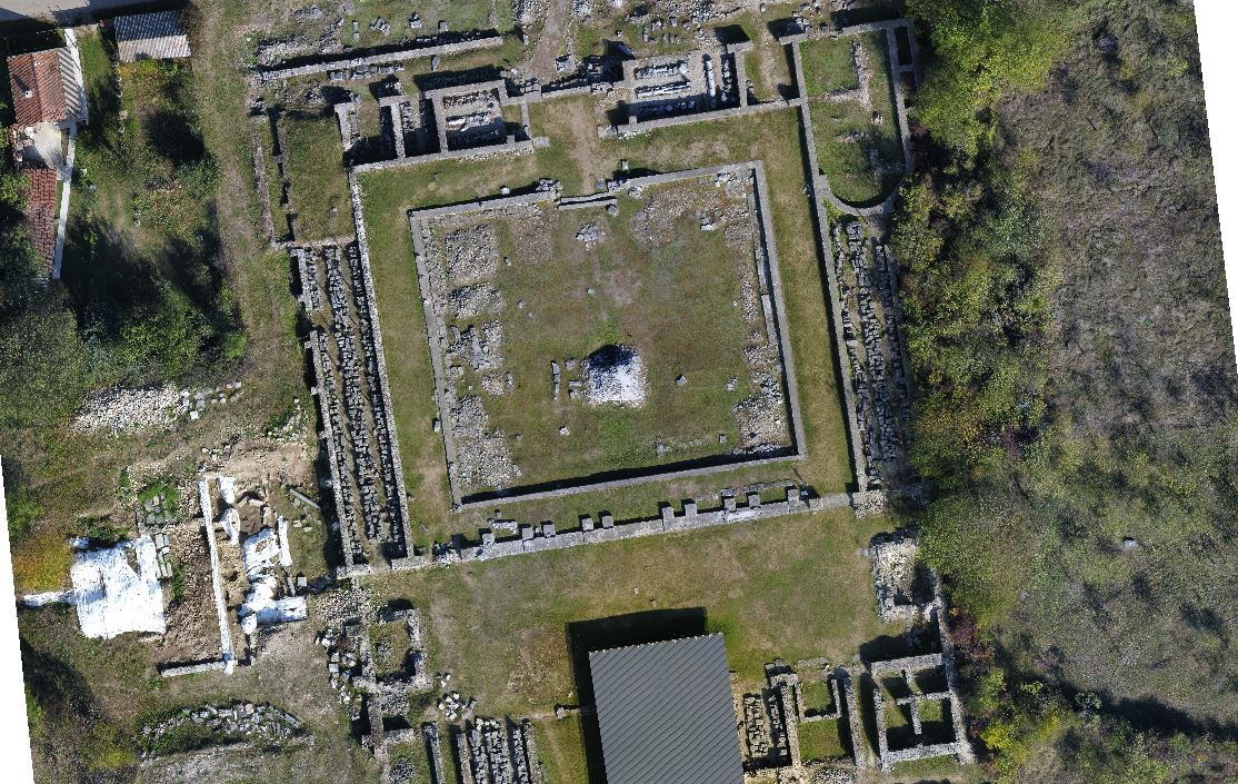
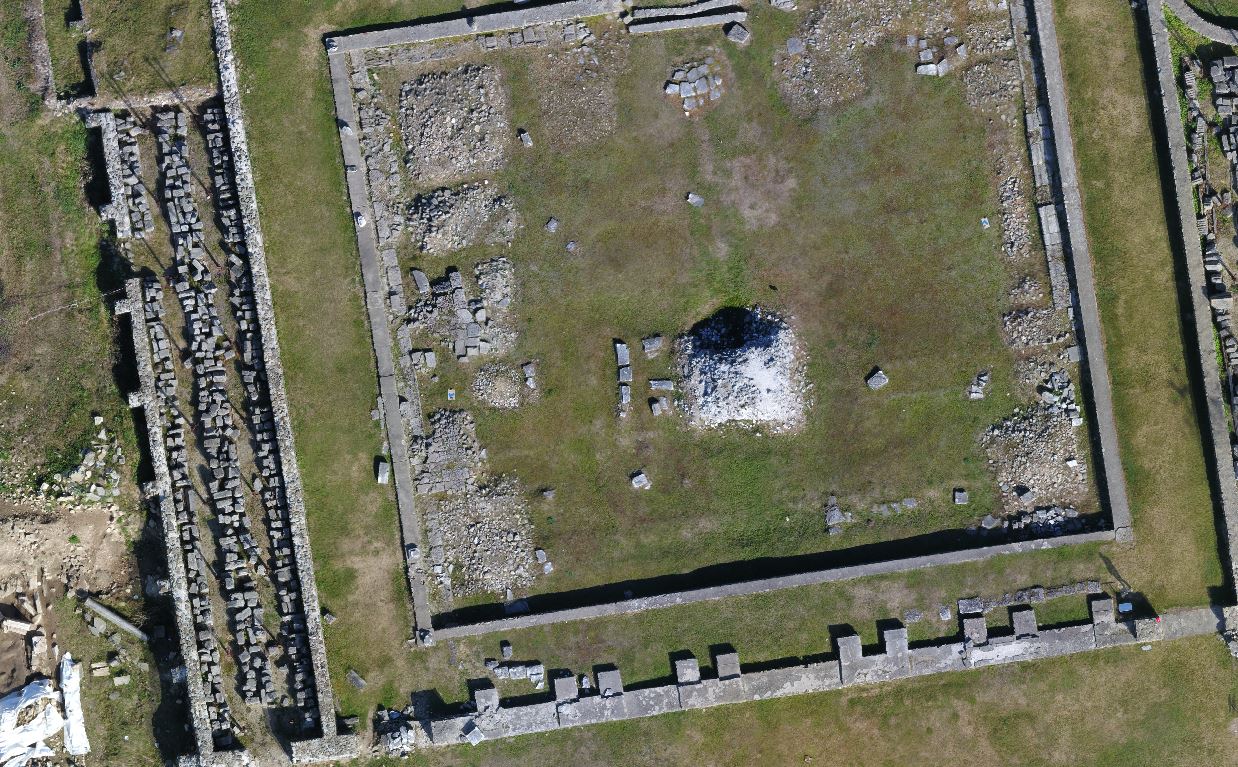
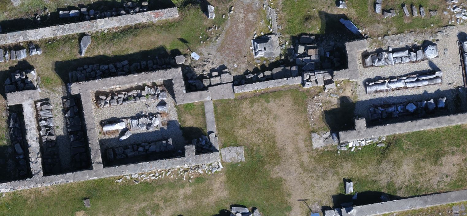
- Photogrammetric flight
- Texture 3D model from orthophoto (resizing to 2.5cm/pixel)
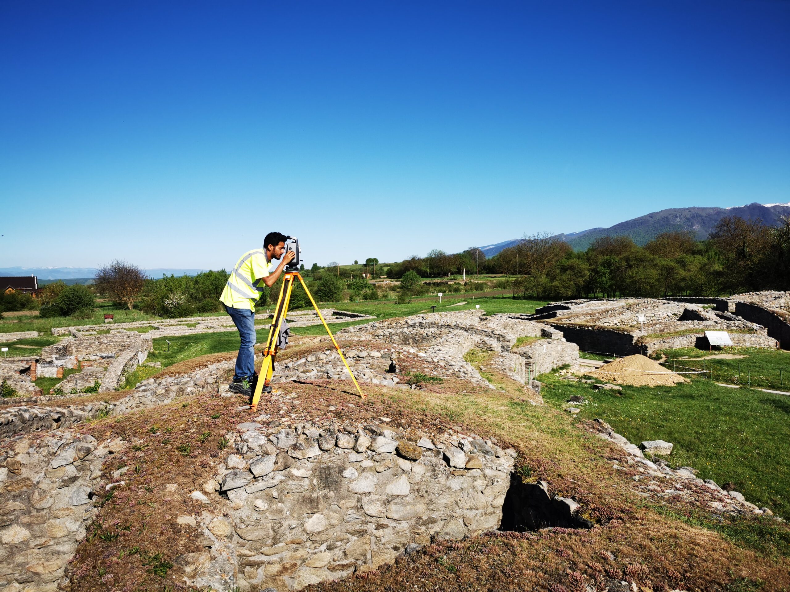
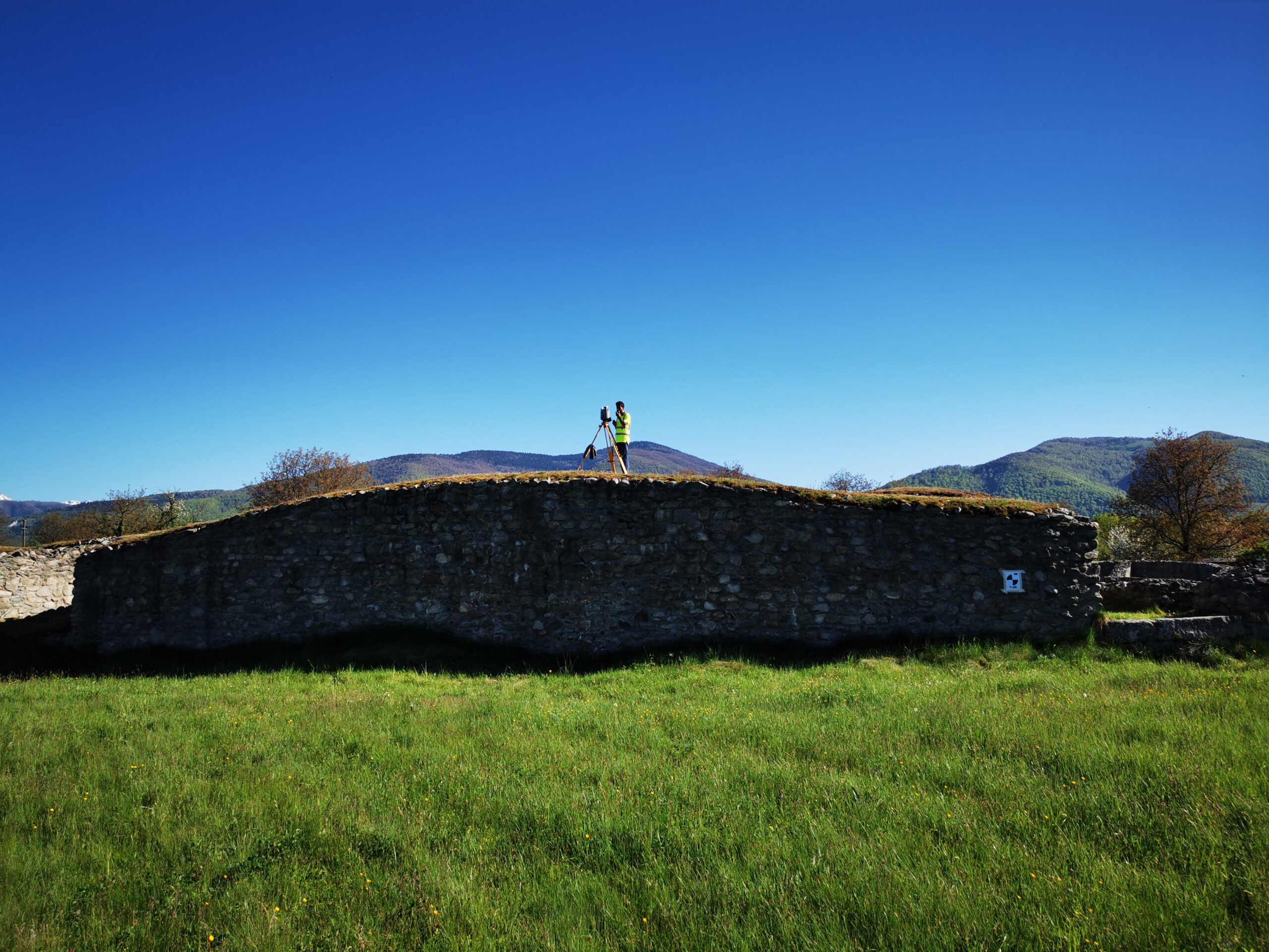
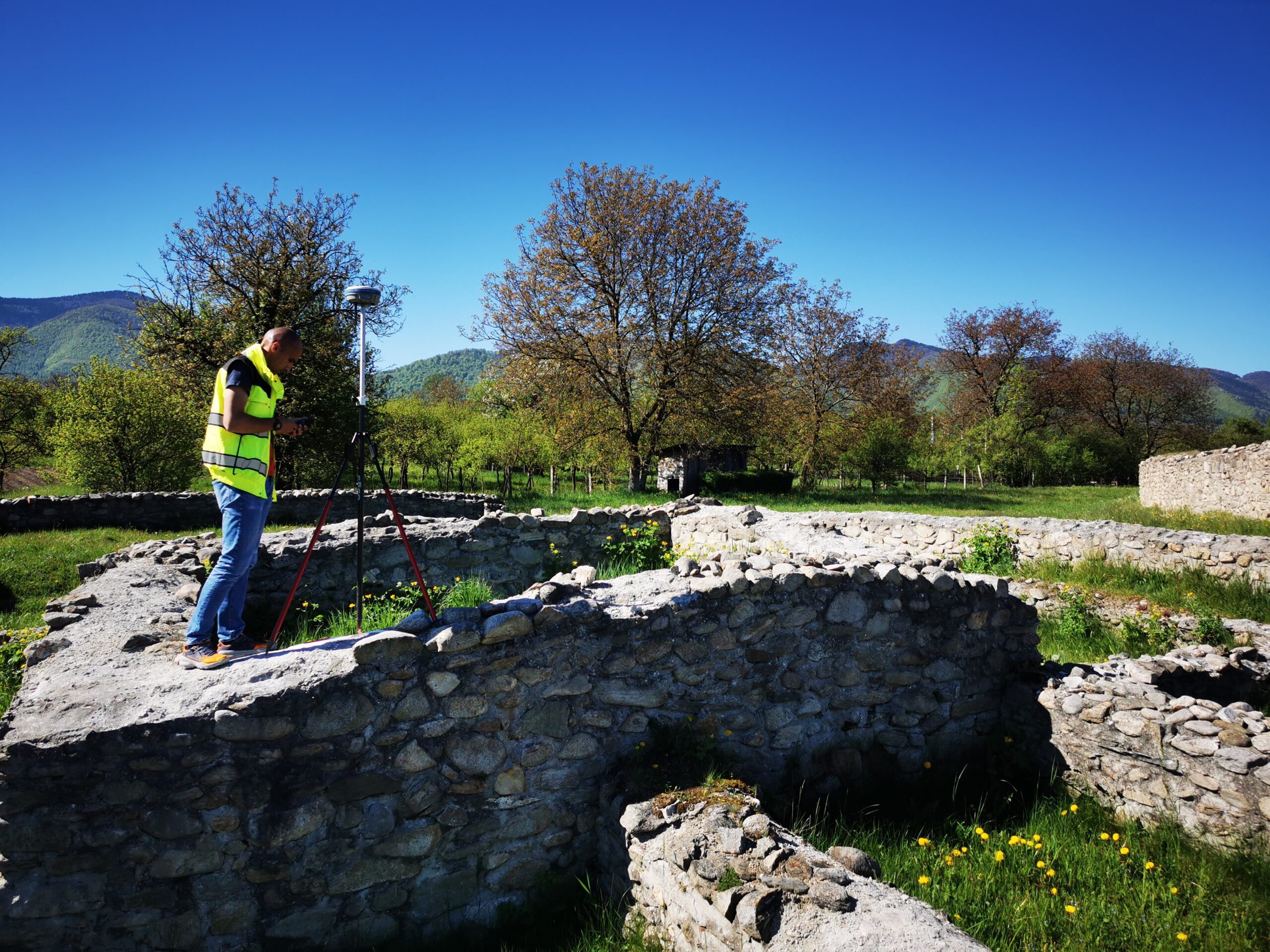
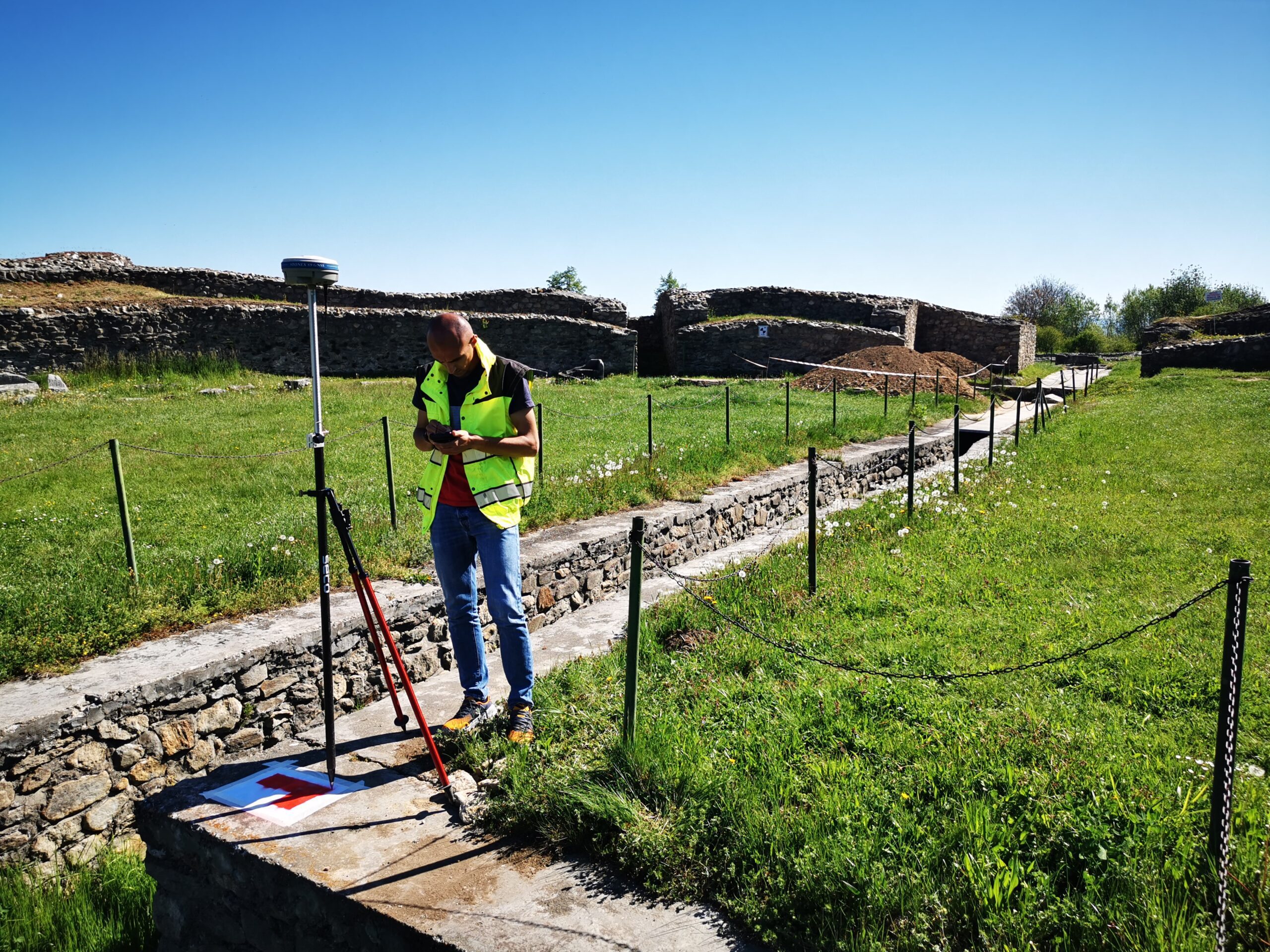
- Integrated geodetic measurements in the archaeological site Ulpia Traiana Sarmizegetusa
- classical measurements – total station
- satellite measurements – GNSS
- photogrammetry
Equipment used: Leica RTC360 laser scanner, DJI Phantom 4 Pro