


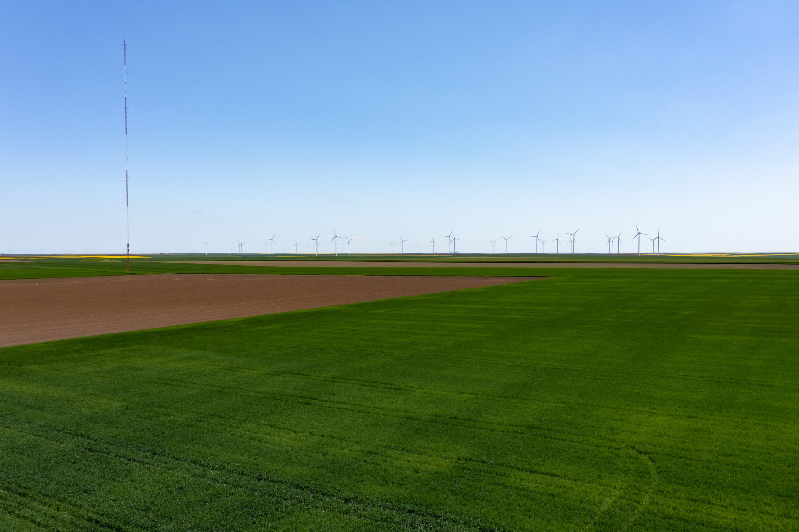
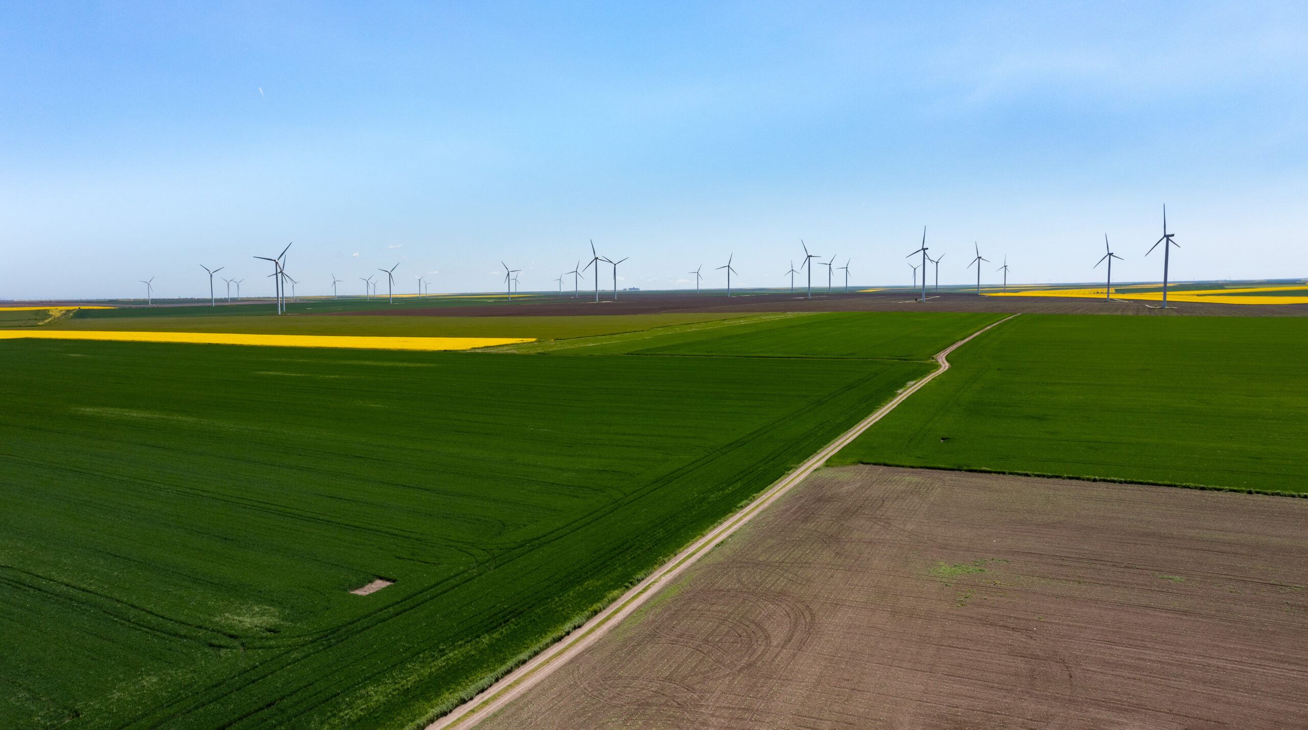
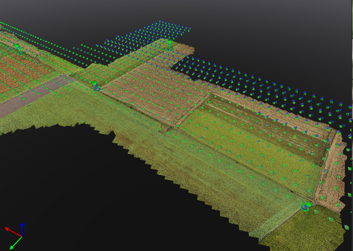
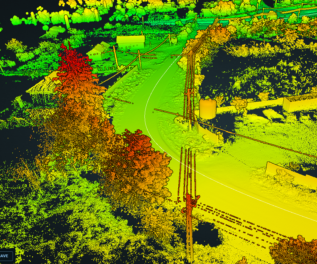
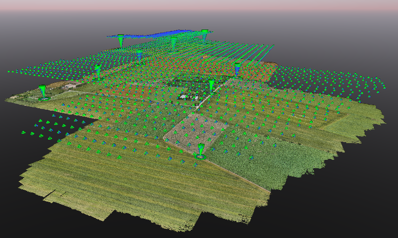
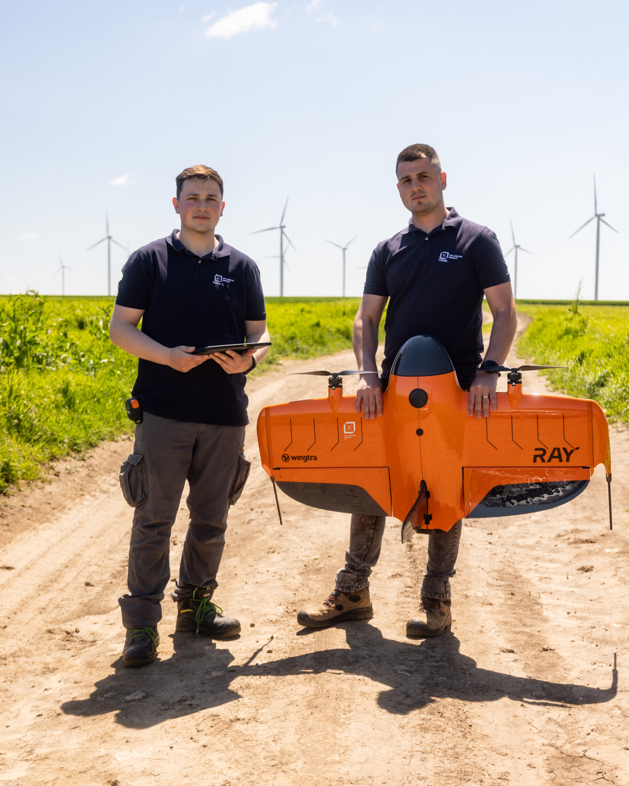
A project carried out for the geospatial documentation of an area designated for the development of a green energy park. Data acquired through photogrammetry and LiDAR scanning formed the basis for the topographic survey and the documentation required for the design and construction stages.
Approximate surveyed area: 4,000 ha
Field: Green energy
Location: Constanța
Deliverables:
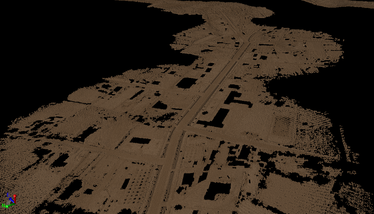
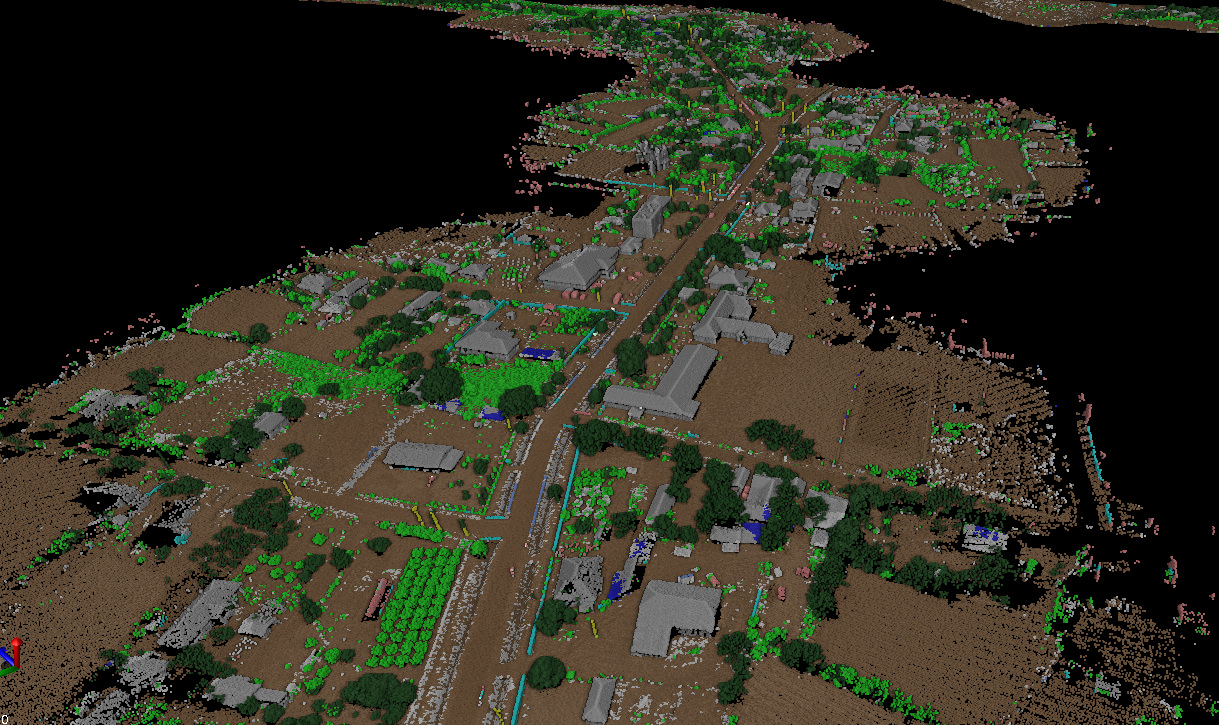
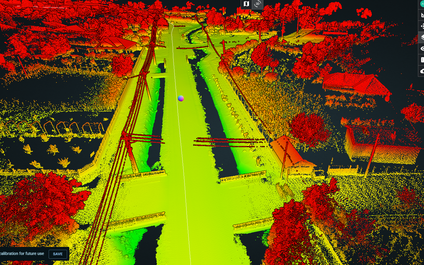
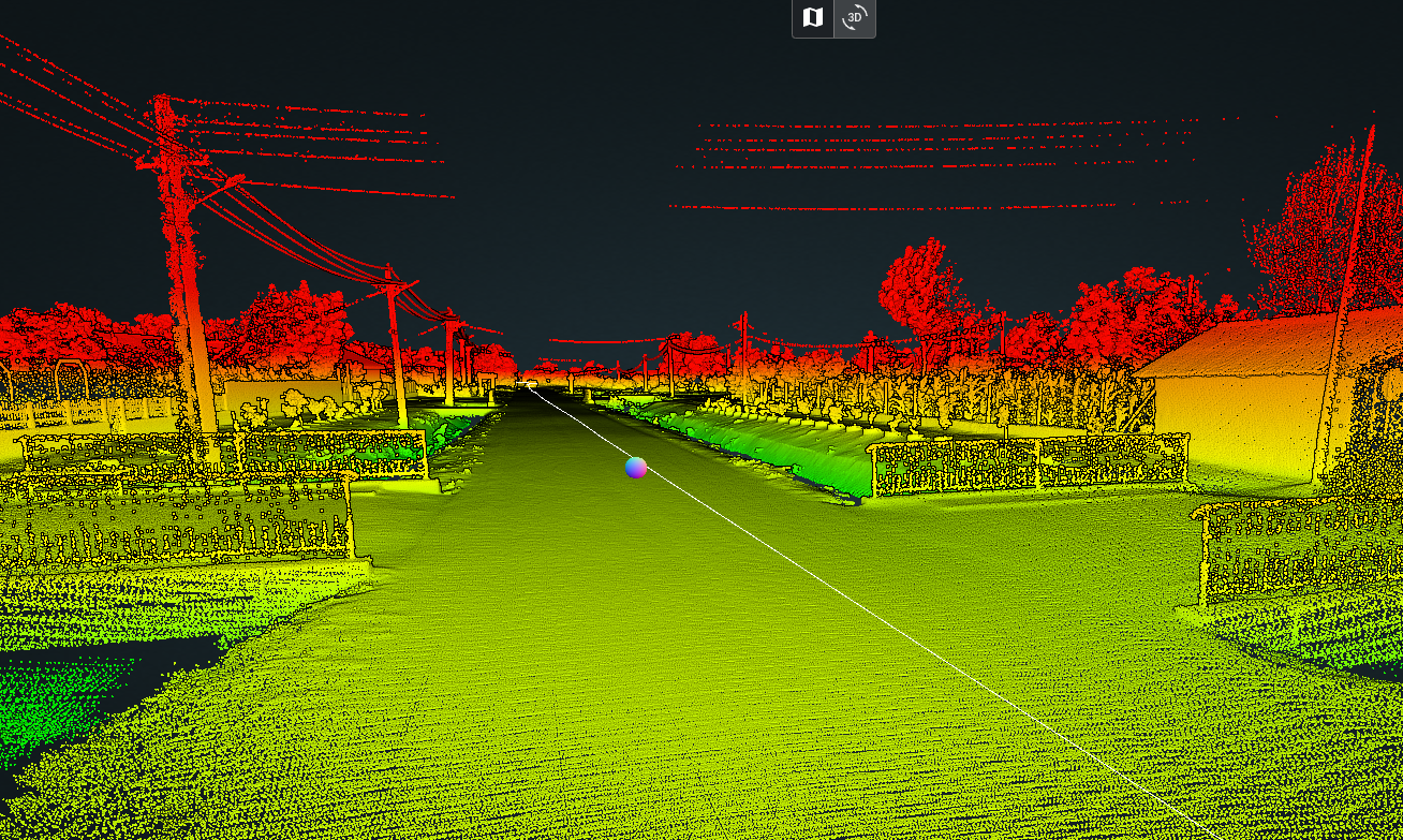
- Point cloud resulting from the initial processing, automatically filtered and classified to identify features above ground level, including vegetation, temporary objects, equipment, and people
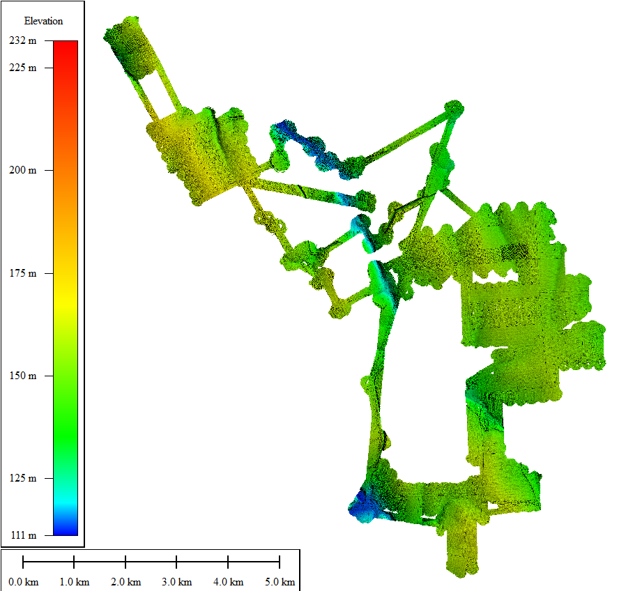
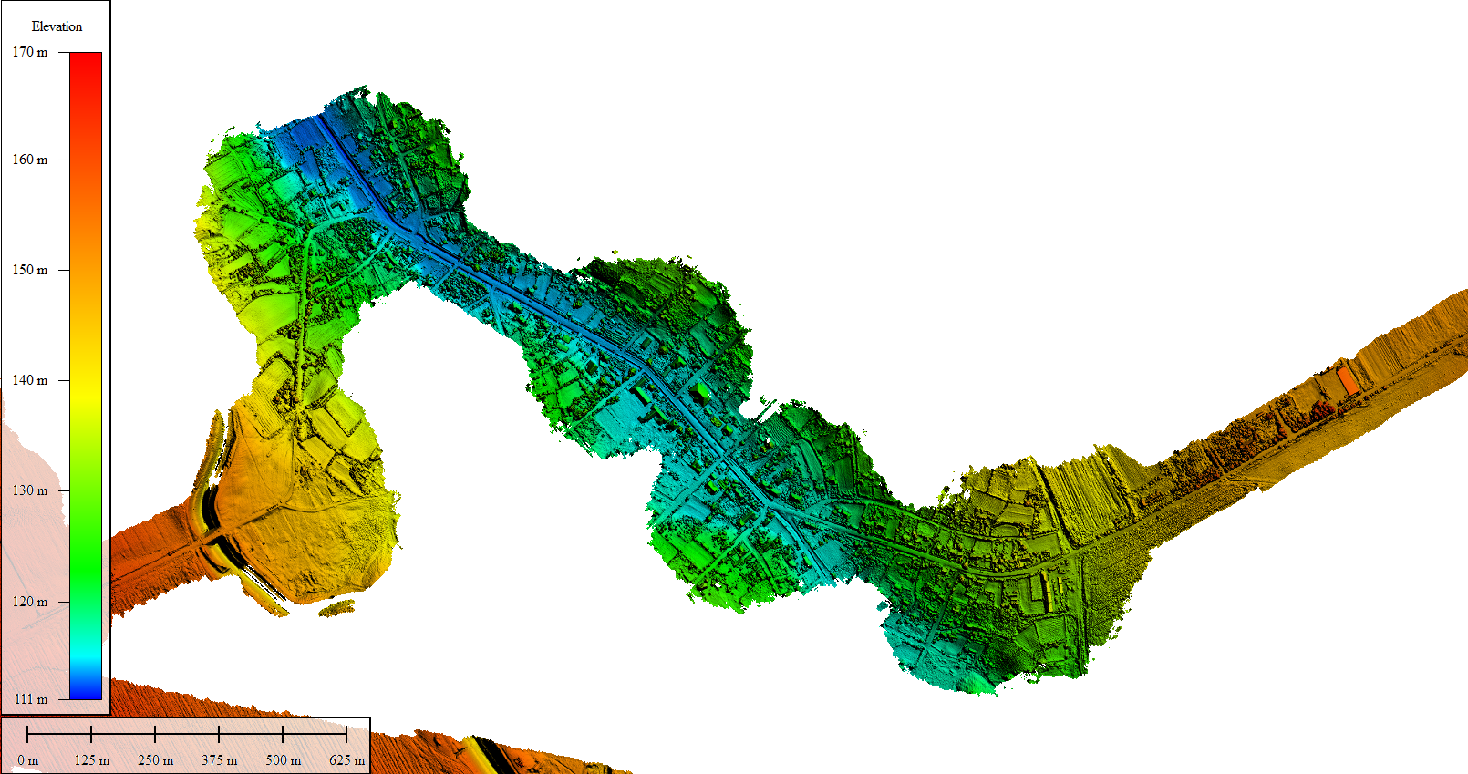
- Digital Terrain Model (DTM), generated by removing vegetation, buildings, and other features above ground level
- Digital Surface Model (DSM), generated from the LiDAR point cloud and used to represent the terrain together with vegetation, buildings, and other features present above ground level
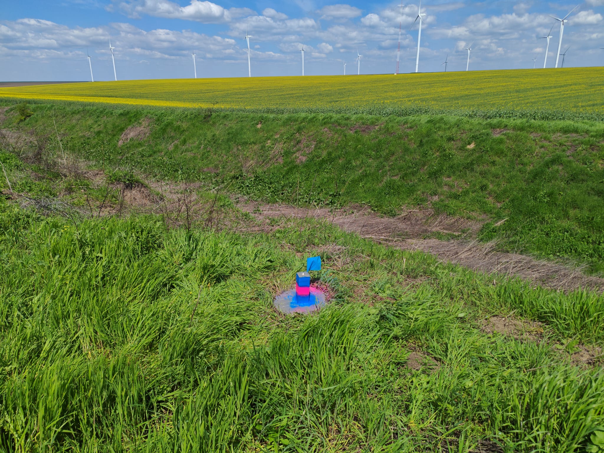
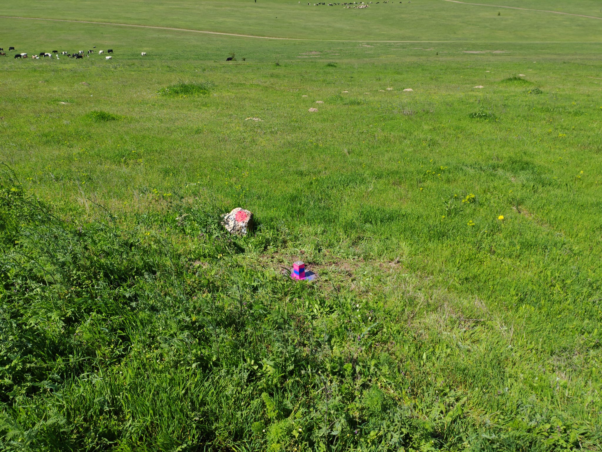
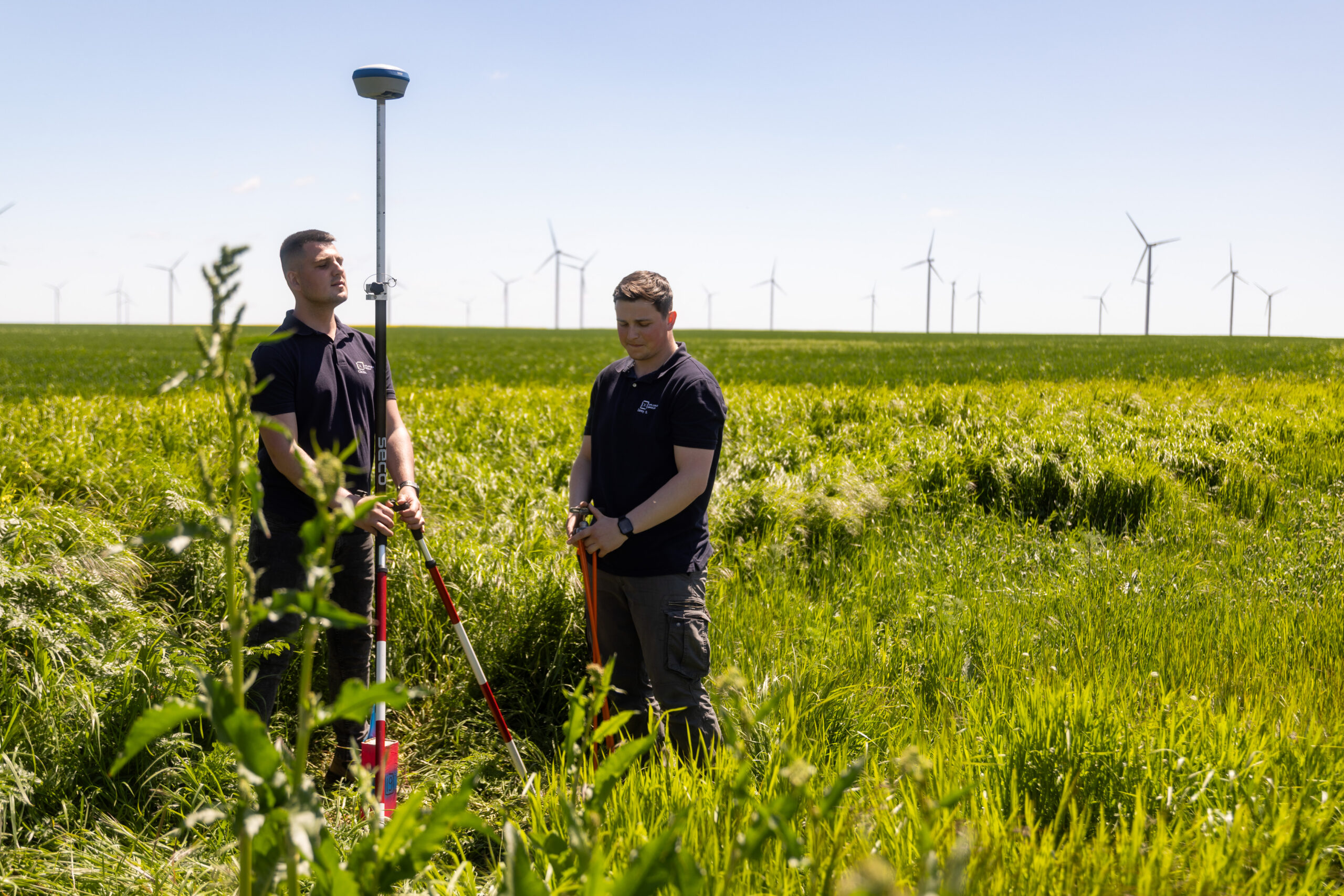
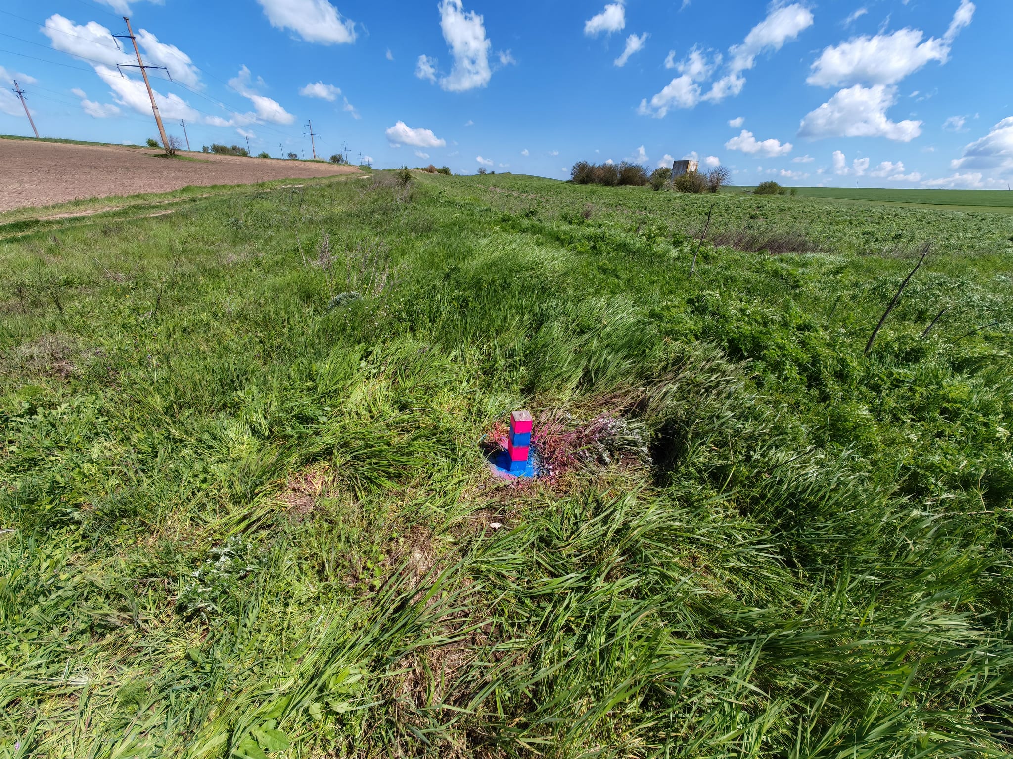
- Establishment and determination of geodetic control point positions to ensure uniform coverage of the study area and their subsequent use in topographic and geodetic surveys, design, setting-out, and construction works
- Planimetric and altimetric site plan
- Topographic survey report
- Surveying and identification of cables crossing the main road and secondary roads, including identification of the voltage for each electrical route
- Identification of kilometer markers along the main road
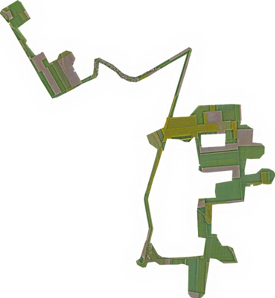
- Final orthophoto in .ecw format, with an accuracy of approximately 1.5 cm
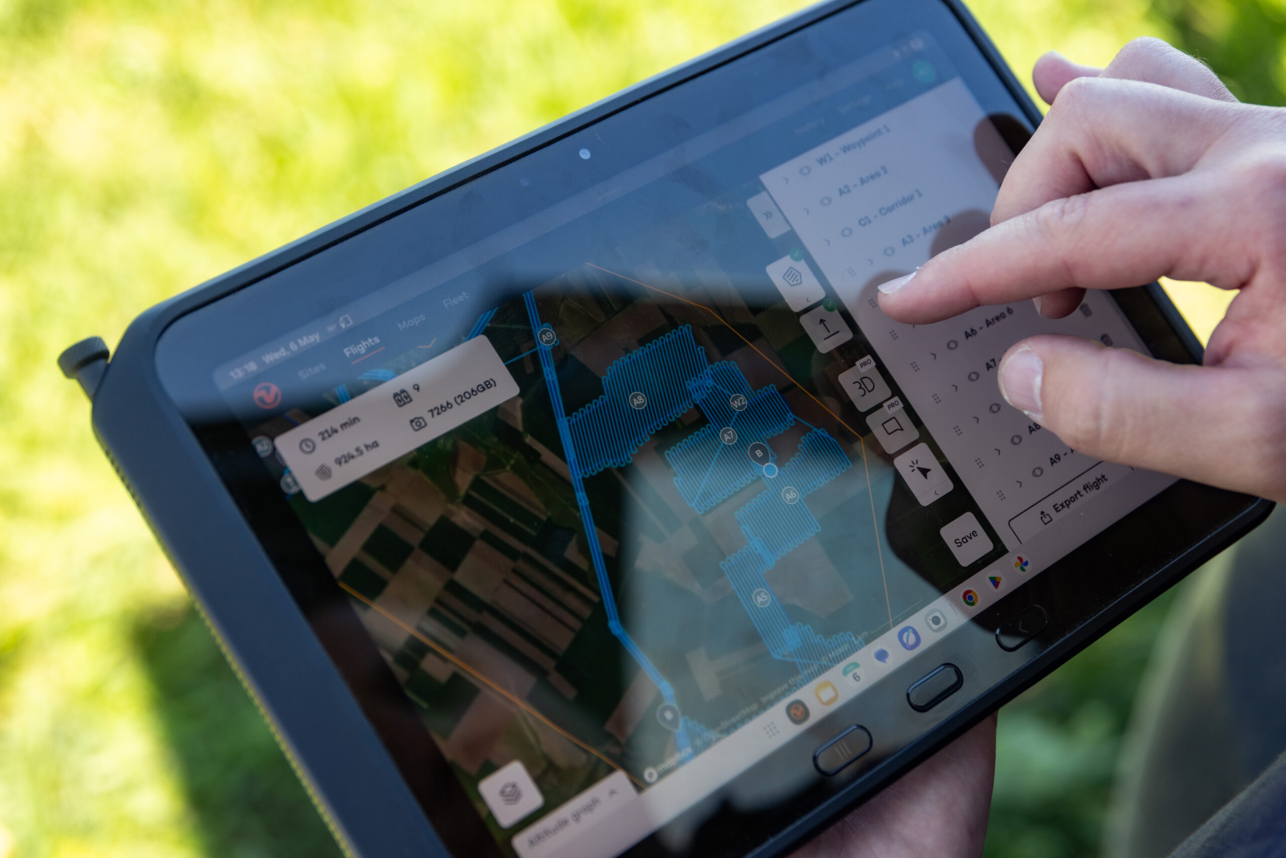
- Acquisition of 9,293 images at a flight altitude of approximately 120 m above ground level.
Equipment used:
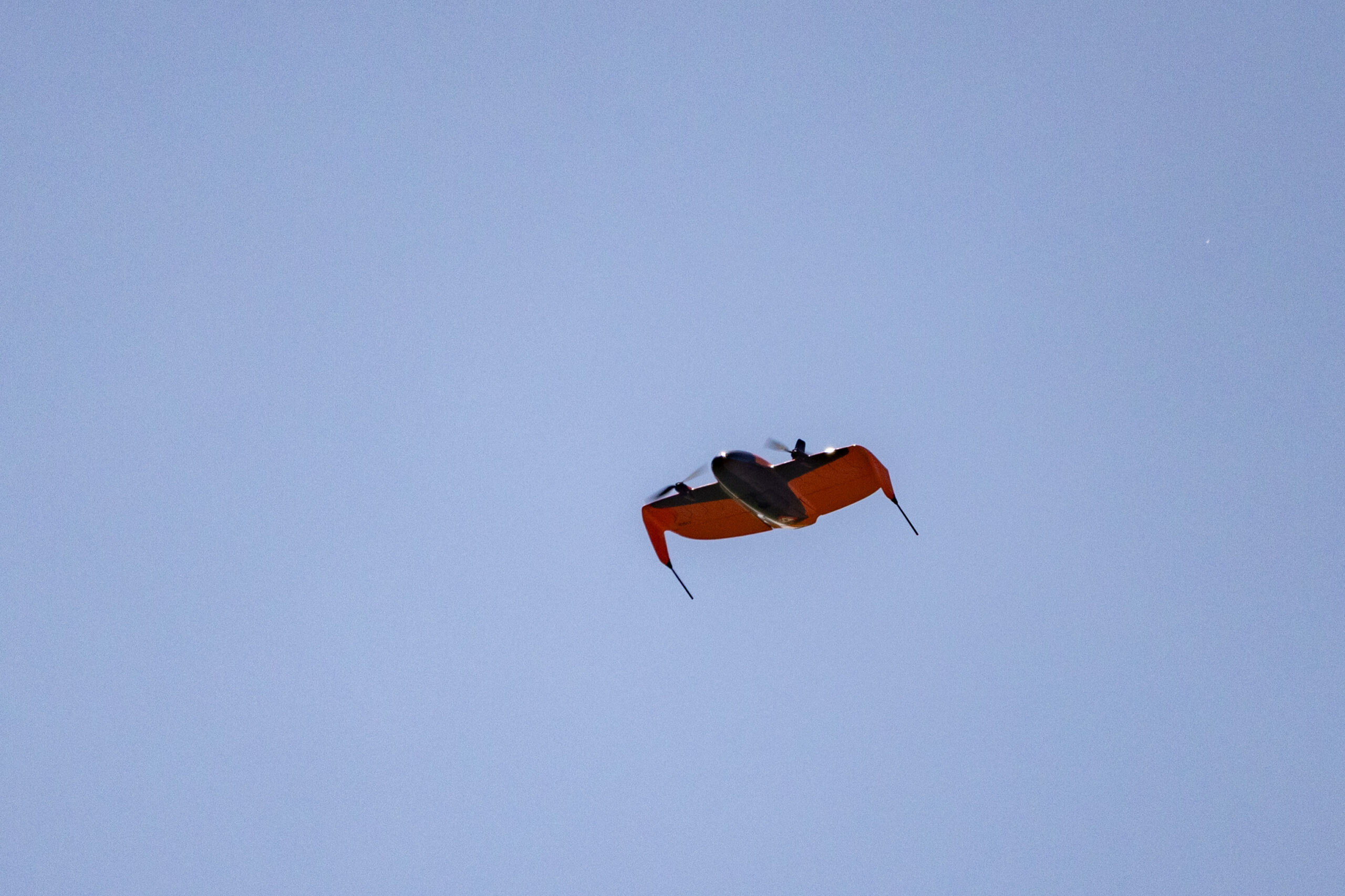
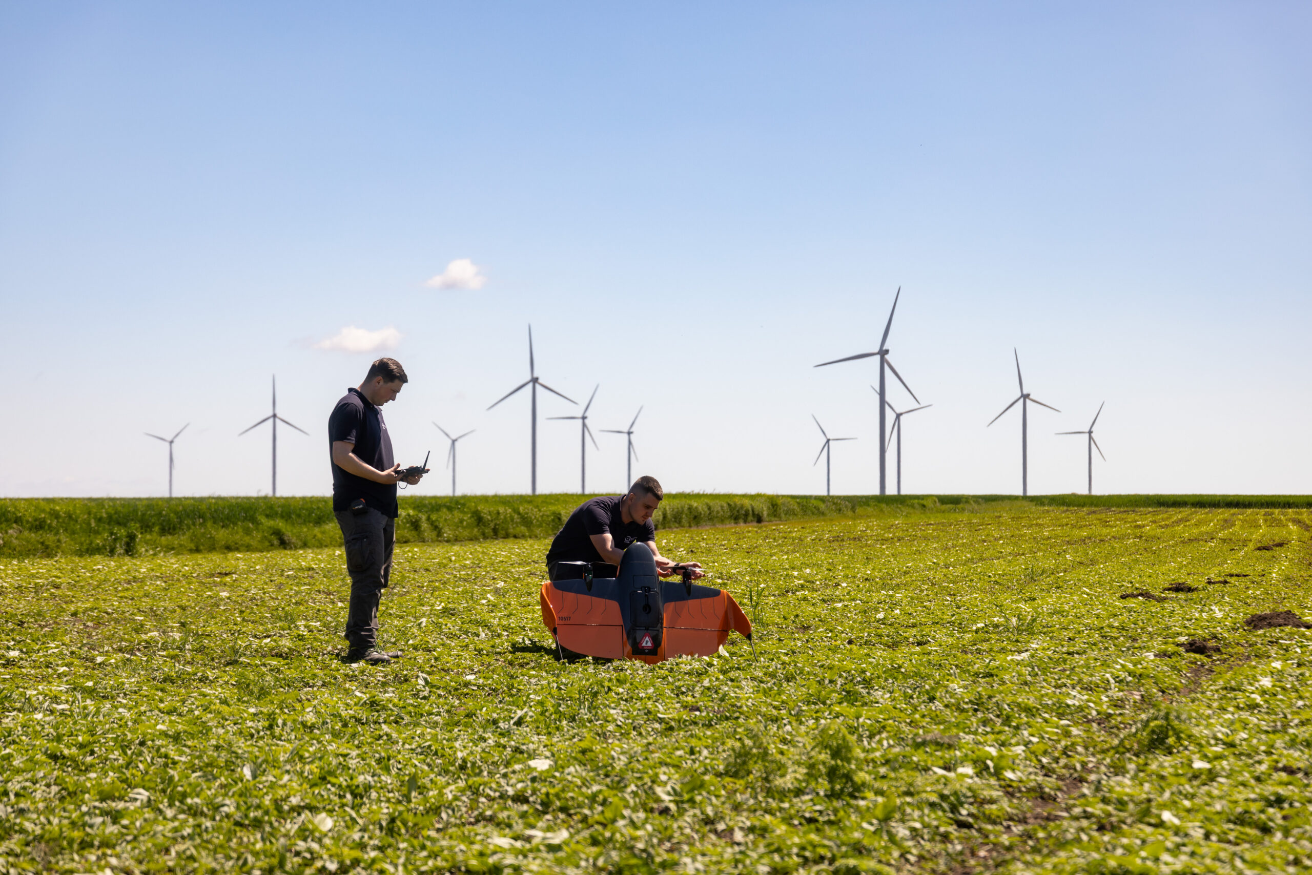
- Wingtra RAY equipped with a LiDAR sensor
- Stonex GNSS receivers
Xplorate Group team:
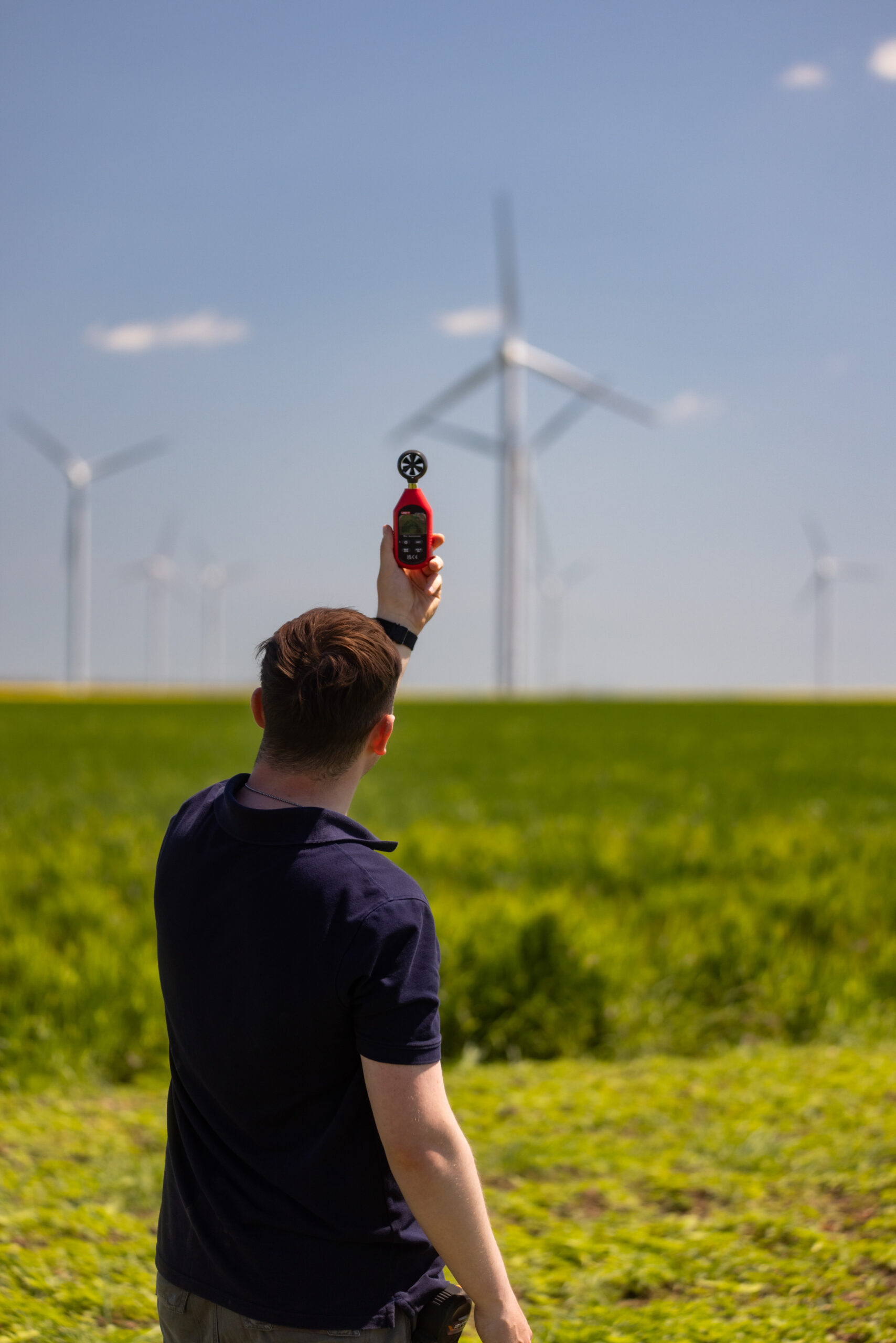
- 2 land surveyors with experience in photogrammetry and LiDAR scanning
- 2 specialists in geospatial data processing and volumetric analysis