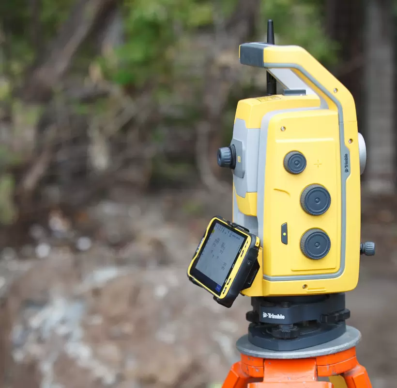
Topographic Plan

What is it and how does it help? What is a topographic plan, definition for everyone’s understanding? A topographic plan is defined as the graphic representation of a surface of land at a conventional scale, a technical drawing made to orthogonally project points on the ground surface. The topographic scale is the ratio between a […]

