
What is it and how does it help? What is a topographic plan, definition for everyone’s understanding?
A topographic plan is defined as the graphic representation of a surface of land at a conventional scale, a technical drawing made to orthogonally project points on the ground surface.
The topographic scale is the ratio between a distance measured on the plan and its corresponding distance in the field.
On topographic plans prepared by an engineer at scales of 1:200, 1:500, 1:1000, 1:2000, 1:5000, the geometric shape and dimensions of the elements present in the field are faithfully represented.
The topographic plan must include the dimensions of the land, the elevations that help identify the construction, and its ground dimensions.
In Romania, the topographic plan is drawn up in the Stereographic 1970 projection system and in the Black Sea 1975 reference system (elevations).
When do we need a topographic plan?
The need for a topographic site plan arises when preparing the general urban plan (P.U.G.), the zoning plan (P.U.Z.), or the detailed plan (P.U.D.), and when submitting documentation for authorization of construction/demolition works (D.T.A.C./D.T.A.D.).
What types of topographic plans are there?
- Planimetric (when determining the plan position of points on the analyzed surface)
- Altimetric (when determining the vertical position/altitude of identified points)
How much does it cost to create a topographic plan?
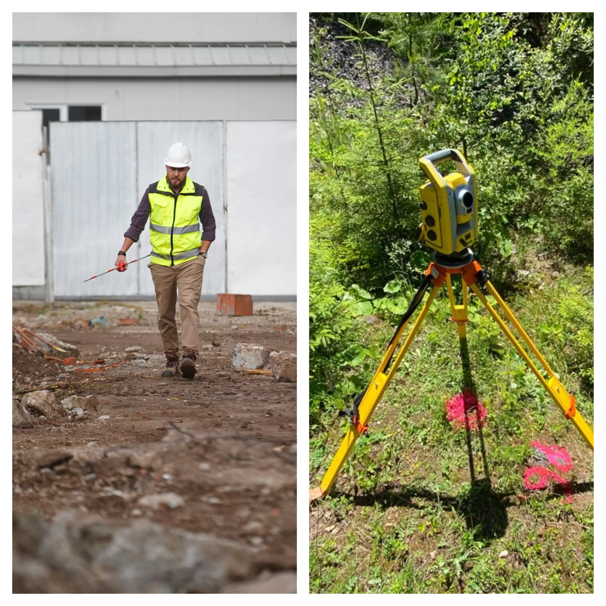
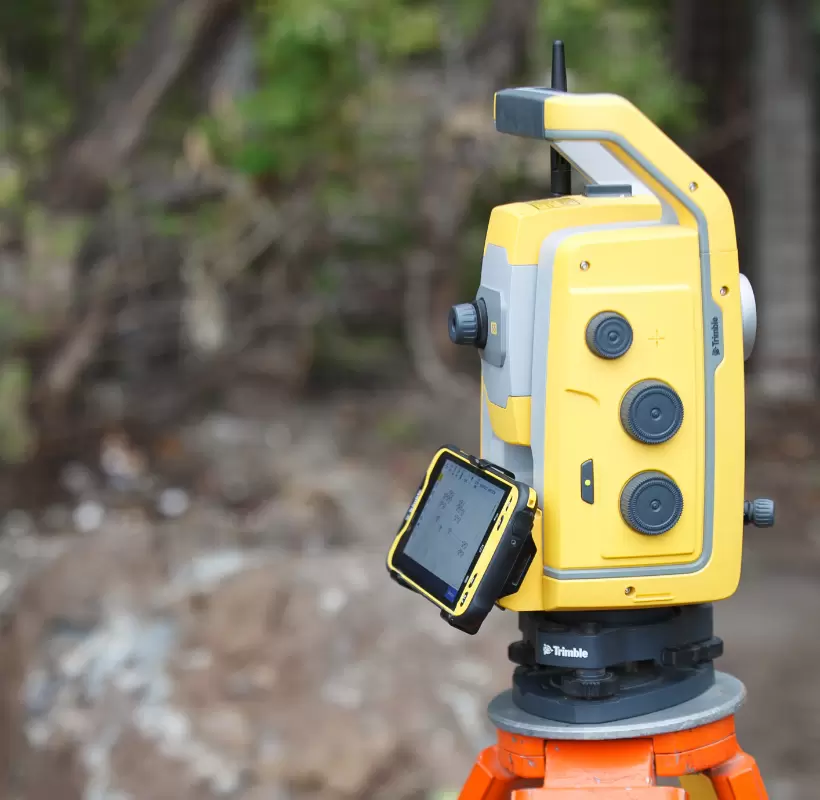
Topographic plans are created through a topographic survey conducted with a total station or GPS, and mobilizing a team of professionals incurs costs that can be estimated based on the specifics of the work.
Who creates the topographic plan?
Topographic plans are created by authorized firms and can be approved by the Land Registry and Real Estate Publicity Office in the territory where the studied property is located, depending on the project requirements.
How can Xplorate Group help you?
With significant experience in topographic surveys and the preparation of topographic plans for obtaining approvals for P.U.G., P.U.Z., P.U.D., D.T.A.C./D.T.A.D., Xplorate Group stands out by approaching each project with the same level of professionalism and enthusiasm regardless of its scale.
We provide our clients with a team of professionals determined to deliver results to the highest quality standards, and our experience in previous projects recommends us as specialists in preparing various types of topographic plans.
We are at your disposal for preparing topographic plans for:
- Urban planning documentation (P.U.G., P.U.Z., P.U.D., T.A.C./D.T.A.D.)
- Design and rehabilitation of utility networks (gas, water, sewage, electricity)
- Design and feasibility studies
- Industrial platforms
- Archaeological sites