
Frankfurt, Germany – October 8–9, 2025
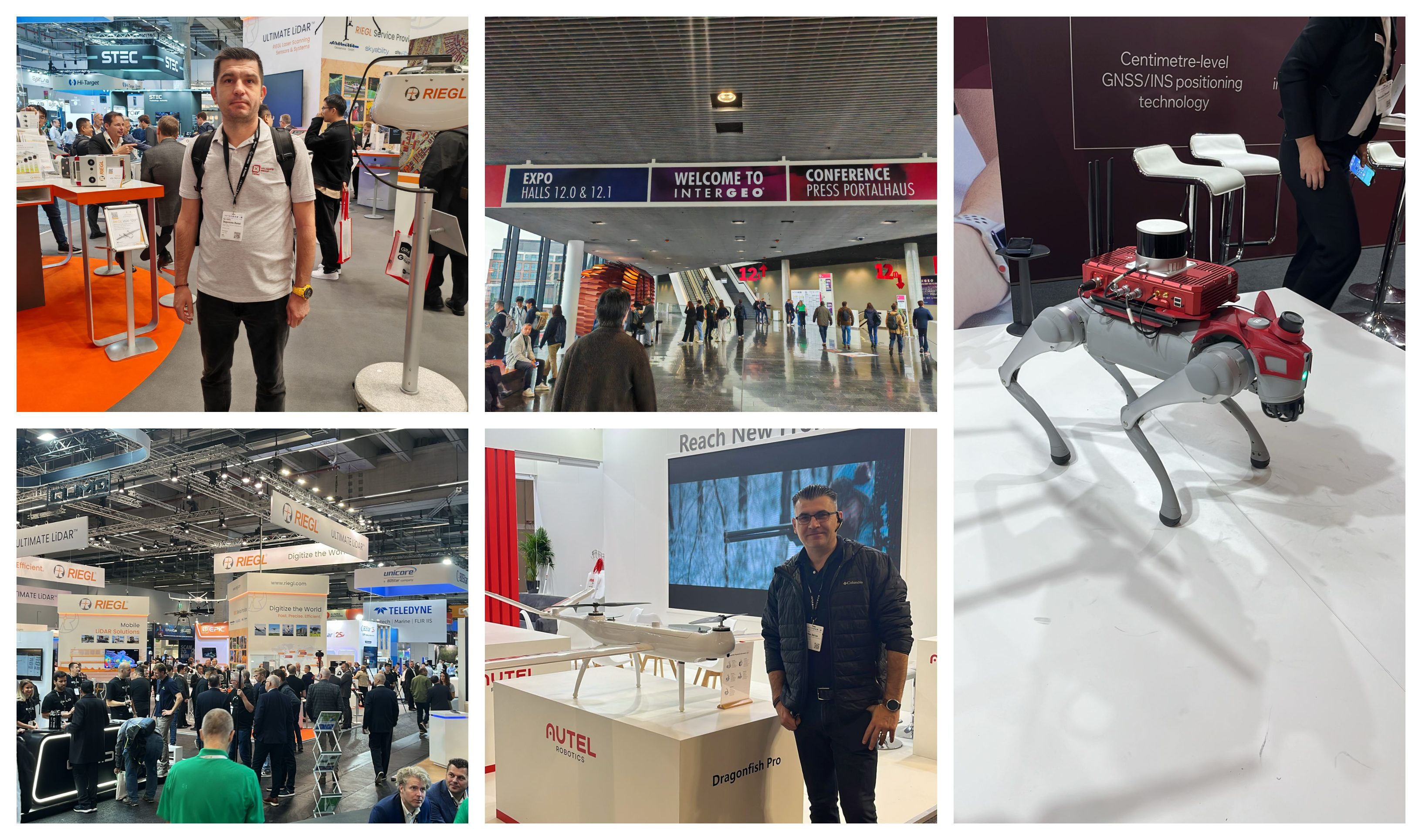
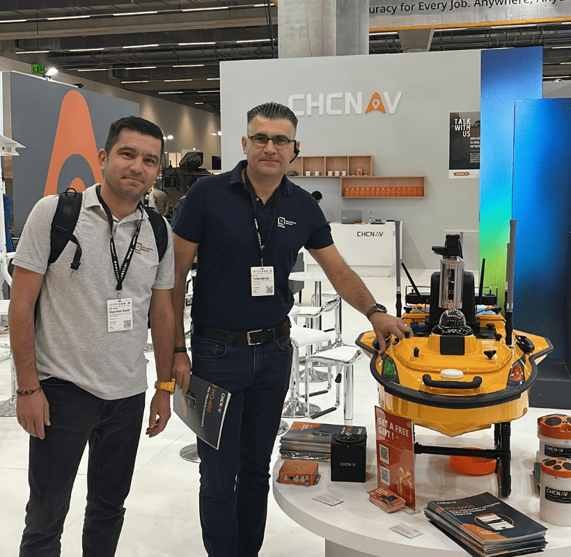
Daniel Ungureanu and Adrian Trifan, managing partners of Xplorate Group, attended INTERGEO – Frankfurt, the leading international exhibition and conference dedicated to the geospatial industry.
They walked through the stands, engaged in discussions, and attended live demos that generated valuable ideas for Romania.
The event attracted over 17,000 visitors and gathered around 579 exhibitors this year.
Approximately 6,000 people per day filled the halls of Frankfurt Messe, becoming the direct audience of the latest geospatial innovations.
At INTERGEO, technologies become instruments for the future. Among the solutions that caught our attention:
- Leica Geosystems, part of Hexagon, showcased systems that integrate AI for the first time in a robotic total station.
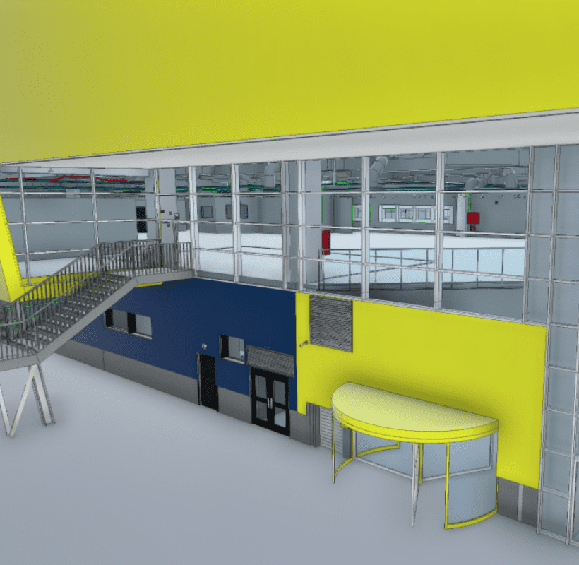
- TopoDOT, a versatile software used to generate 2D and 3D site plans from point clouds captured through airborne LiDAR, mobile mapping, and photogrammetry.
- NavVis, recognized as one of the most advanced 3D SLAM scanning systems.
- Emlid, presenting the new GNSS receiver models RS4 and RS4 Pro.
- Terrasolid, software dedicated to the fast registration and alignment of LiDAR point clouds.
- FJDynamics, featuring the new SLAM scanner FJD Trion™ P2.
The exhibition illustrated how data collected through drones, LiDAR, and GNSS sensors can be transformed into 2D and 3D deliverables, Digital Twin models, thematic maps, predictive simulations and intelligent platforms for urban decision-making.
Conference presentations focused mainly on innovations in geospatial data processing through Artificial Intelligence and machine learning.
Live demos included drone flights, 3D laser scans, GNSS equipment, total stations and demo cases showcasing the functionality of specialized software tools.
For Xplorate, participation was an accelerated session of connection with new technological innovations and a key source of inspiration.
Daniel Ungureanu: “The days spent at INTERGEO gave us energy and confidence. We met professionals from all over the world, discovered new ideas and came home thinking about how we can integrate Digital Twin and AI into Xplorate Group’s projects.”
Adrian Trifan: “I felt like a child surrounded by countless toys and software systems. The organization was impeccable, and every stand carried the same message: curiosity, innovation, and a genuine drive for progress.”
Conversations at the stands focused on concrete ways to collaborate and apply technology locally: how to use Trimble, Leica or Emlid equipment in current projects, how to optimize data workflows and how to build partnerships between tech companies and local authorities.
Xplorate reaffirmed its mission to connect field data with documentation, continuing to provide integrated services in 3D scanning, topography, photogrammetry, digital modeling, BOMA survey, monitoring and division into apartments.
The goal is for architects, urban planners, and developers to integrate technology naturally into their design processes, as an essential part of every project.
Participation in INTERGEO 2025 confirmed what Xplorate has long anticipated: the future of smart cities will rely on data, partnerships, and integrated technologies.
With roughly 5,000–6,000 visitors per day, hundreds of international exhibitors, and live demonstrations, INTERGEO 2025 became a space where the meaning of “surveying” expands, from simple data collection to building scenarios, simulations, and informed decisions.
Daniel and Adrian returned to Romania eager to turn these ideas into real projects.
“We want to stand alongside professionals who believe that cities can become more balanced, more sustainable, and more intelligent. We’re eager to eXplore the next wave of ideas and technologies that INTERGEO 2026 in Munich will unveil.”