Certificate of construction compliance
What is the certificate of construction compliance? The certificate of construction compliance issued by the local authority, which issued the building permit, is an administrative document attesting that the construction has been carried out in accordance with the building permit and that there is a completion inspection report. The document is requested by the Land […]
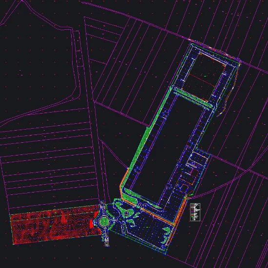
Călugăreni Photovoltaic Park

Photogrammetry, Survey engineering during the execution phase, Site plans for design purposes
National Library
Update cadastral documentation
What are topographic studies and what are they used for?

Topographic studies are an integral part of the documentation required for obtaining construction, demolition, or zoning permits. They result from measurements taken at ground level and facilitate the implementation of technical projects on the ground according to the plans that comprise them. A topographic plan reproduces, to scale, a terrain graphically represented by points on […]
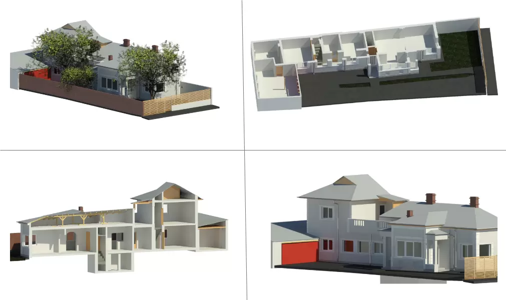
Stejarii Country Club

Division into apartments, as-built situation plan
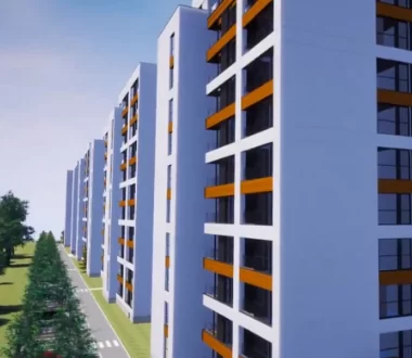
Pipera residential project

Survey engineering for the designed elements, land registration and division into apartments, topographical survey.
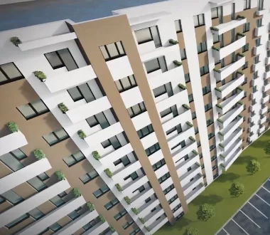
Tower Residence
Survey engineering, division into apartments
Confort Urban
Division into apartments, Survey engineering
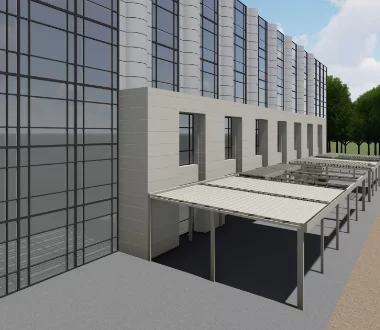
WDP Timișoara
Topographic survey, 3D laser scanning, interior mapping according to BOMA standard, land registration, topographic elevation and planimetric survey, altimetric and planimetric survey.
Speedwell Triama Residence

Residence topographic survey, 3D scanning, division into apartments, survey engineering