Why pre-apartment subdivision becomes essential after the “Nordis law” comes into force

The real estate market is going through a major shift. Following the introduction of the so-called “Nordis law” (March 2026), developers can no longer rely on the old model in which apartments were marketed and promised for sale without a clearly defined cadastral structure of the future condominium. Today, pre-apartment subdivision documentation has become a […]
Expansion of XPLORATE GROUP’s activity

XPLORATE GROUP S.R.L., as Beneficiary, is implementing the project “Expansion of XPLORATE GROUP S.R.L. operations”, SMIS code 329925, financed through the South Muntenia Regional Programme 2021–2027, Priority: P1 – A competitive region through innovation, digitalization and dynamic enterprises, Specific Objective: RSO 1.3 – Enhancing sustainable growth and the competitiveness of SMEs and creating jobs within […]
Cortina Elysium

Survey engineering, topographic surveys, pre-apartmenting and division into apartments.
Hotel InterContinental Athénée Palace Bucharest

3D laser scanning and 2D drawings, Scan- to-BIM
Novum Splai C13

Division into apartments and cadastral documentation, survey engineering throughout the entire execution period, 3D monitoring, 3D scanning.
Cloud9 Residence

Survey engineering and division into apartments
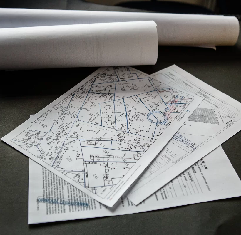
Plan of delimitation

What is the plan of delimitation? The plan of delimitation (PAD) is a technical document that establishes the real situation in the field by determining the boundaries and areas of land and/or buildings based on measurements. It is drawn up by an authorized person. The PAD is issued for the preparation of topographic and cadastral […]
Urbanism certificate – What is it and when do you need it?
What is an urbanism certificate? The urbanism certificate is an informative document that provides the applicant with information regarding the legal, economic, and technical regime of the property, the characteristics of the area where the property is located (site), the urban planning requirements to be met, as well as the list of approvals and agreements […]
Topographic Plan

What is it and how does it help? What is a topographic plan, definition for everyone’s understanding? A topographic plan is defined as the graphic representation of a surface of land at a conventional scale, a technical drawing made to orthogonally project points on the ground surface. The topographic scale is the ratio between a […]
Akcent City

Survey engineering and Division into apartments