Why pre-apartment subdivision becomes essential after the “Nordis law” comes into force

The real estate market is going through a major shift. Following the introduction of the so-called “Nordis law” (March 2026), developers can no longer rely on the old model in which apartments were marketed and promised for sale without a clearly defined cadastral structure of the future condominium. Today, pre-apartment subdivision documentation has become a […]
Urbanism certificate – What is it and when do you need it?
What is an urbanism certificate? The urbanism certificate is an informative document that provides the applicant with information regarding the legal, economic, and technical regime of the property, the characteristics of the area where the property is located (site), the urban planning requirements to be met, as well as the list of approvals and agreements […]
Stages of Construction – What steps need to be followed?

We continue the series of informative materials made available to our clients and partners, inviting you to go through the information gathered by the Xplorate Group team regarding the stages that must be followed in the construction process. You will learn, in chronological order, what steps to take from the moment of choosing and acquiring […]
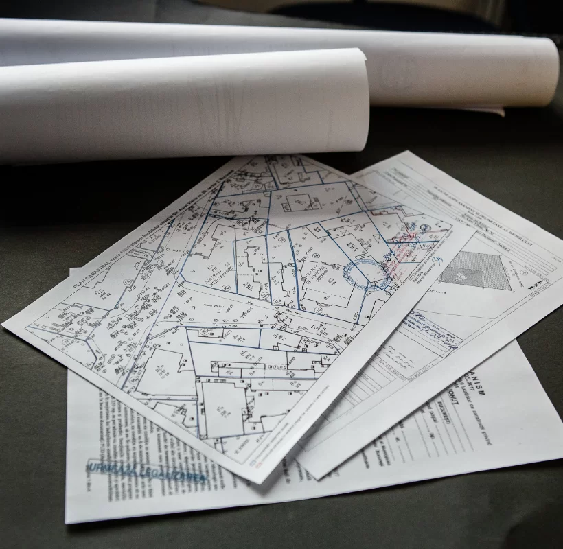
Topographic Plan

What is it and how does it help? What is a topographic plan, definition for everyone’s understanding? A topographic plan is defined as the graphic representation of a surface of land at a conventional scale, a technical drawing made to orthogonally project points on the ground surface. The topographic scale is the ratio between a […]
Certificate of construction compliance
What is the certificate of construction compliance? The certificate of construction compliance issued by the local authority, which issued the building permit, is an administrative document attesting that the construction has been carried out in accordance with the building permit and that there is a completion inspection report. The document is requested by the Land […]
What are topographic studies and what are they used for?

Topographic studies are an integral part of the documentation required for obtaining construction, demolition, or zoning permits. They result from measurements taken at ground level and facilitate the implementation of technical projects on the ground according to the plans that comprise them. A topographic plan reproduces, to scale, a terrain graphically represented by points on […]