
Obtaining preparing documents
OCPI/BCPI Documents
Obtaining documents:
Land book existence confirmation
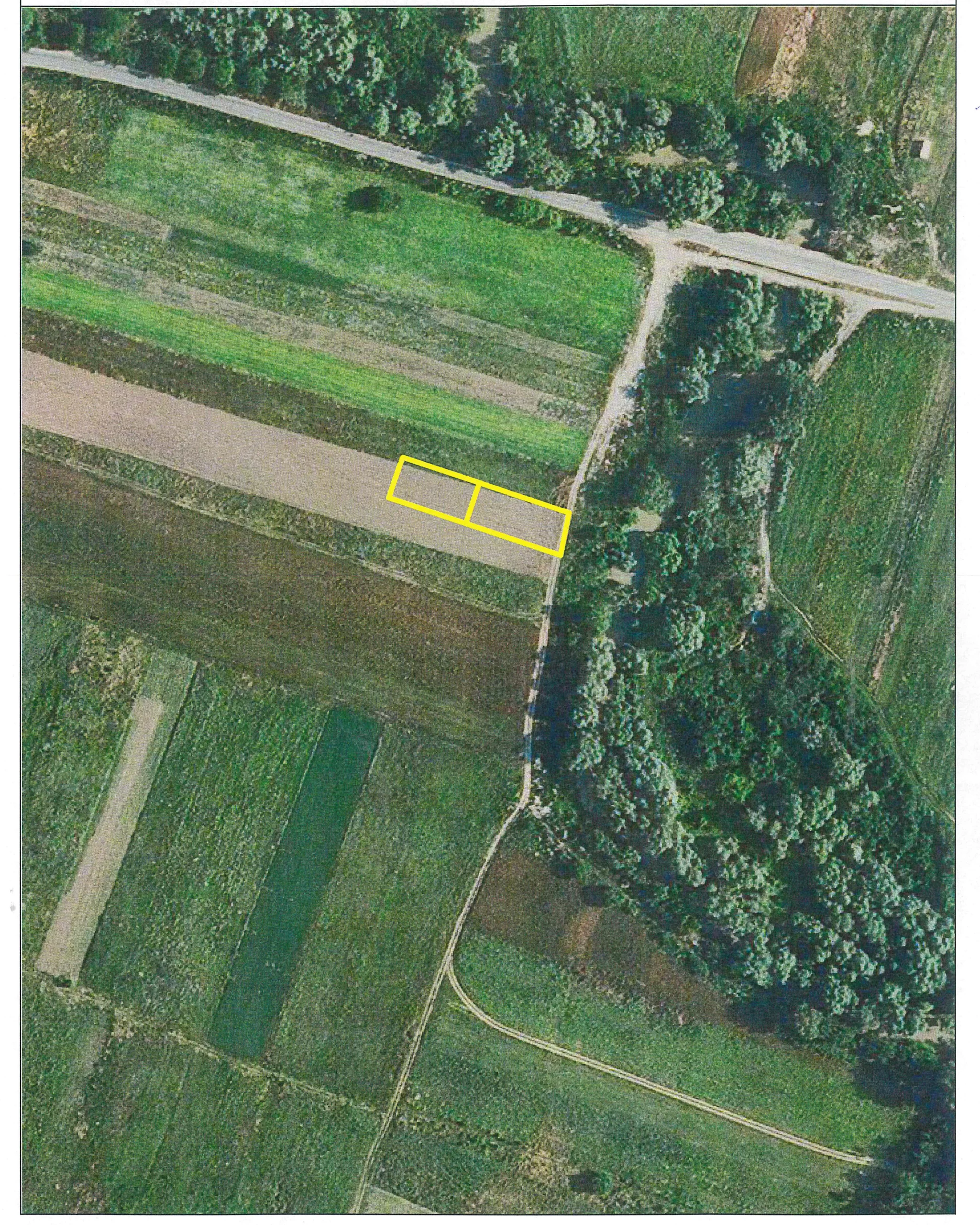
Certified copies from the cadastre archive
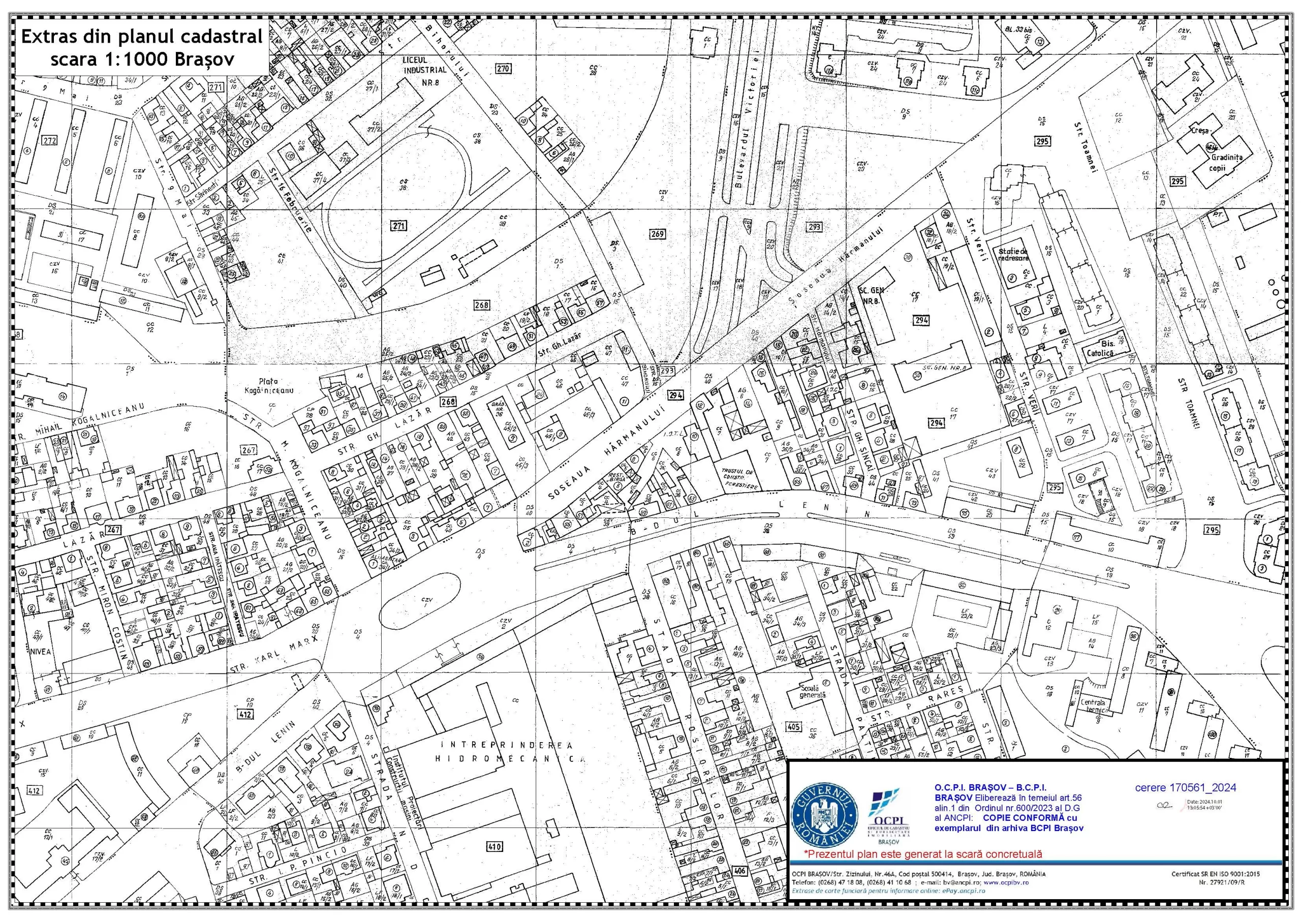
Charges certificate
Inventory of property coordinates (land type)
Inventory of properties owned by an owner or identification of properties by the owner's name
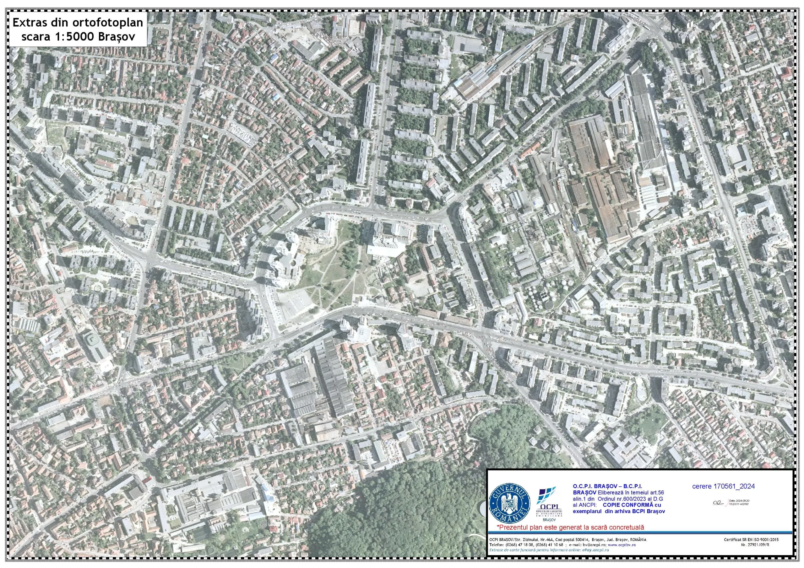
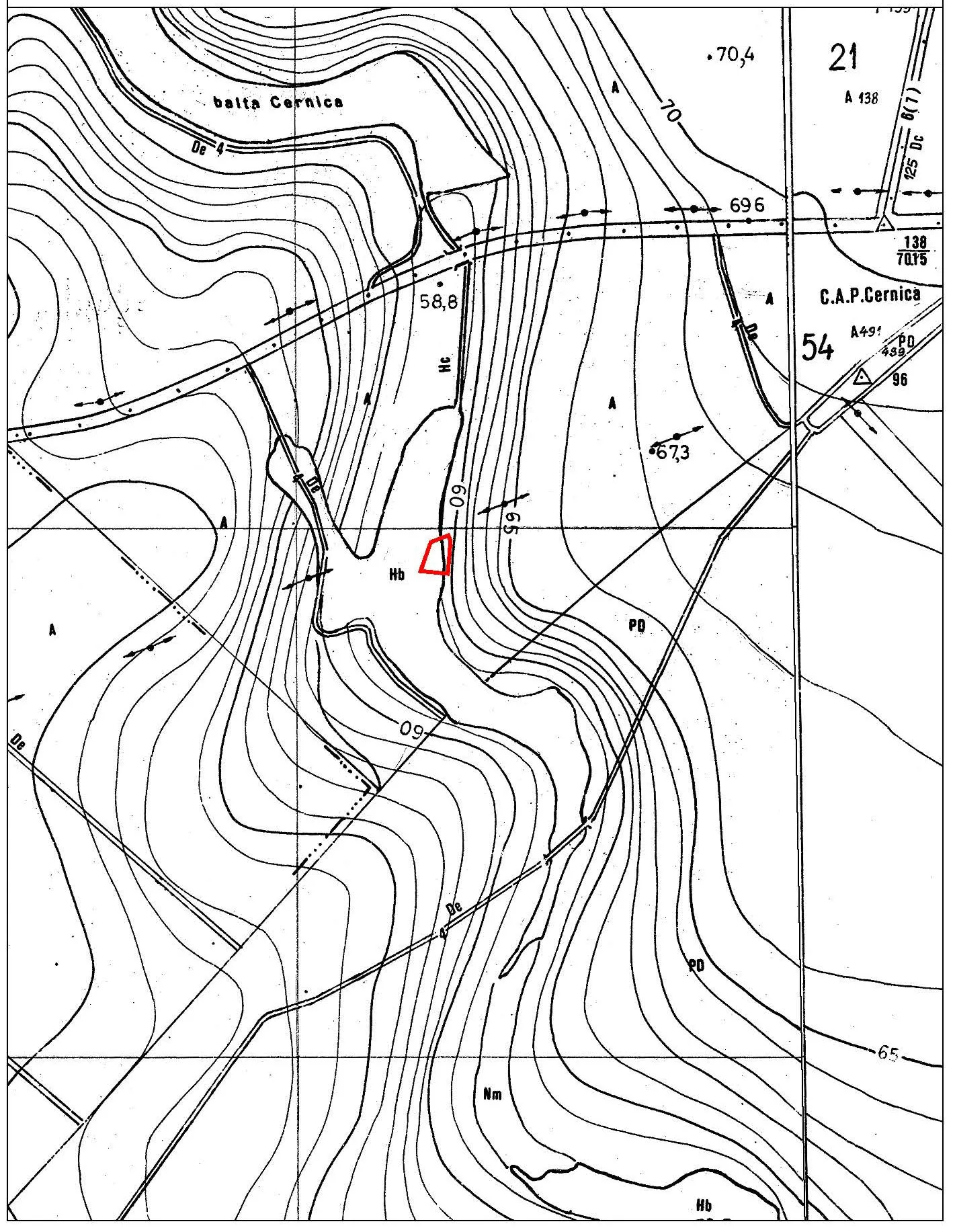
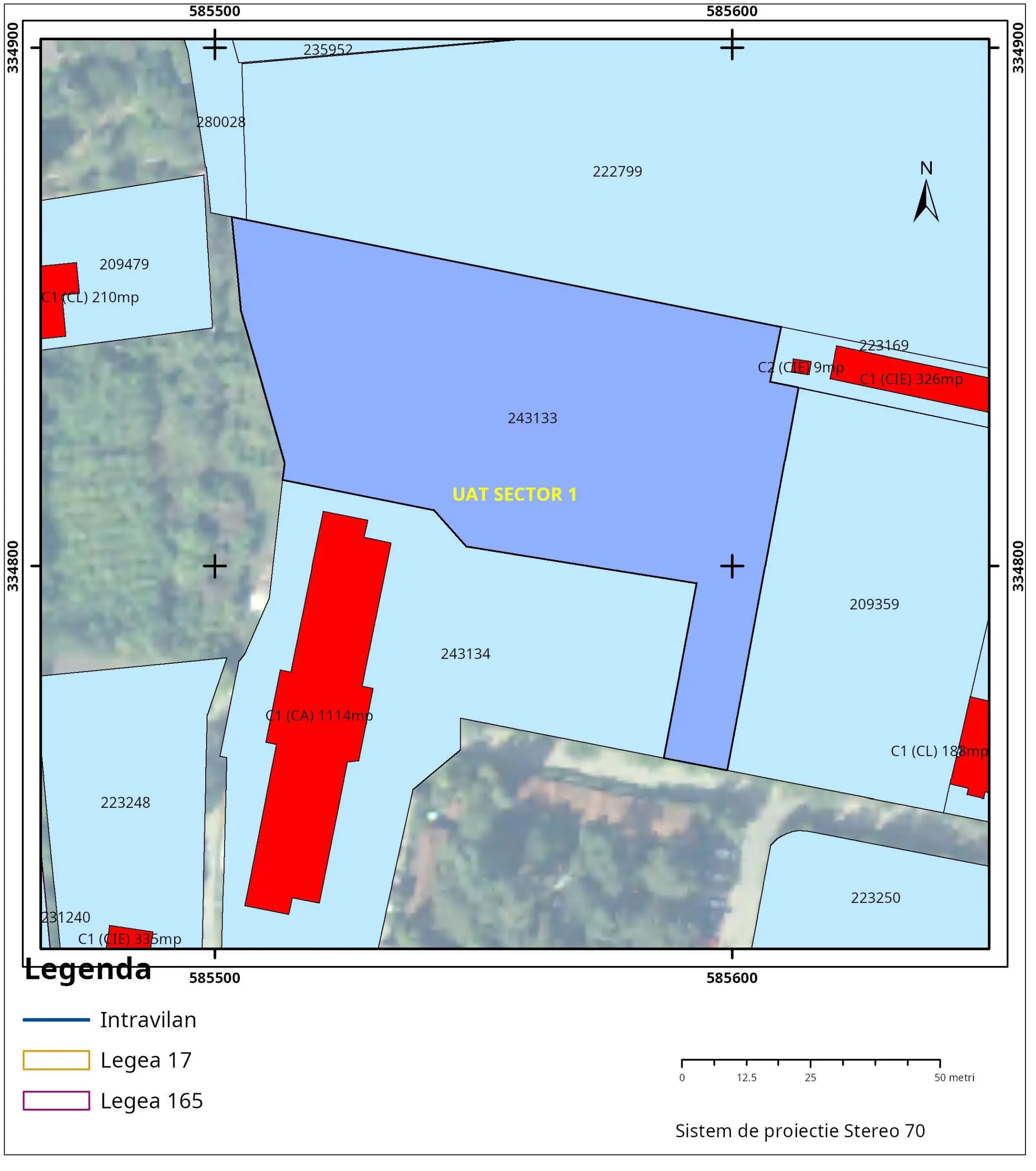
General zoning plan on topographic map support
We also obtain documents such as:
Documentation for legal compliance (buildings, apartments, commercial spaces, others)
Energy certificates for residential, commercial and industrial spaces
Tax roll update
Urbanism certificate for dismantling/annexation
City Hall certificates
Building permit
Tax certificate
Postal number/City Hall record/certificate
Various copies, documents issued by city halls, notaries, courts, others.
Întrebări frecvente (FAQ)
What documents do I need to prepare?
The required documents depend on the request. Xplorate can obtain land registry extracts, duplicates of cadastral documentation, certificates of assignments, coordinate inventories, zoning plans, certificates and attestations issued by city halls. After identifying the desired document, we will communicate to you what information or documents must be submitted.
Is a topographic survey necessary for the preparation of documentation?
The need for topographic measurements depends on the requested documentation. Obtaining a land registry extract or a cadastral duplicate does not require a new topographic survey. For technical documentation, the requirements are established after analyzing the property and the purpose of the work.
How long does it take to obtain the documents?
The duration varies depending on the document, the issuing institution and the situation of the property. The estimated deadline is communicated after identifying the requested document and verifying the available information.
Does Xplorate handle obtaining documents from institutions?
Yes. Xplorate handles obtaining documents issued by OCPI or BCPI, such as land registry extracts, duplicates of cadastral documentation, certificates of charges, coordinate inventories and area plans.
How long does it take to obtain a land registry extract?
The deadline depends on the processing of the request by OCPI. Xplorate takes care of obtaining the land registry extract for information, which contains the technical and legal data registered for the property.
Can you also obtain documents from the city hall?
Yes. Xplorate can obtain an urban planning certificate for dismantling or joining, certificates issued by the city hall, a construction certificate, a tax attestation certificate, a postal number certificate or certificate, and documents for updating the tax roll.
What information is needed for a quote?
For bidding, the type of document desired, the address and type of property, the cadastral number, if available, and the purpose for which you need the document are required. If there are previous cadastral documents or documentation, these can be submitted for verification.
Proiecte verificări imbile
- Construction behavior tracking in time.
- Survey engineering, topographic surveys, pre-apartmenting and division into apartments.
- 3D laser scanning and 2D drawings, Scan- to-BIM
- Survey engineering, Topographic survey, Setting out of designed elements, Bathymetric survey, Monitoring, Settlements monitoring
- Division into apartments and cadastral documentation, survey engineering throughout the entire execution period, 3D monitoring, 3D scanning.
- Asistență topografică în șantier, UCC, rapoarte de monitorizare a deformatiilor 3D, măsurători As Built
- Survey engineering, topographic assistance on site, layout works, measurements and earthwork volume calculations (cut and fill).
- Photogrammetry, Survey engineering during the execution phase, Site plans for design purposes
- Survey engineering for the designed elements, land registration and division into apartments, topographical survey.
- 3D laser scanning , Virtual tour, 3D Solid model (Revit)
- Survey engineering, measurements for monitoring the behavior of neighboring constructions over time, earthwork volume calculation, 3D monitoring of capping beams
Send us a message
Submit an application to receive a land deed extract
Violeta Duțu
Surveying/cadastre and tabulation engineer